GR124 (Madrid Circular Trail)
How would you rate GR124 (Madrid Circular Trail)?
Tap a star to share your experience and help other hikers.
GR124 (Senda Real): Madrid to Manzanares el Real
HikeList Score
GR124 (Madrid Circular Trail) scored 84/100 on HikeList's trail-quality metrics.
See score breakdownHide breakdown
- Ideal length 63
- Balanced challenge 100
- Scenery & wildness 98
- Varied terrain 83
- Accommodation 74
- Food & support 88
- Path quality 80
- Season flexibility 76
Computed from length, challenge, scenery & wildness, terrain variety, accommodation, food & support, path quality and season flexibility.
The GR-124, better known as the Senda Real, is a waymarked point-to-point hike in the Community of Madrid, Spain. It runs about 48 km from central Madrid to Manzanares el Real at the foot of the Sierra de Guadarrama, usually walked in 2 days. Difficulty is moderate: the terrain is mostly easy dirt, gravel and paved path, but each stage is around 26 km. It suits fit walkers wanting a low-technical, public-transport-friendly route from city edge to mountain backdrop.
Route Overview
The usual direction is outbound from Estación de Príncipe Pío or the Glorieta de San Vicente, finishing at the castle of Manzanares el Real. The route leaves Madrid via the Casa de Campo edge, Ciudad Universitaria and Dehesa de la Villa, then skirts Monte de El Pardo and passes near the Palacio de El Pardo before reaching Tres Cantos. Day two continues via Colmenar Viejo, the Embalse de Santillana and Puente del Batán to Manzanares el Real. It is not a circular trail. Access is simple: Príncipe Pío, Tres Cantos, Colmenar Viejo and Manzanares el Real are linked by Madrid metro, Cercanías and/or interurban bus. For longer Spanish routes, compare the Camino Francés or the mountain Carros de Foc circuit.
A royal road from Madrid to El Pardo
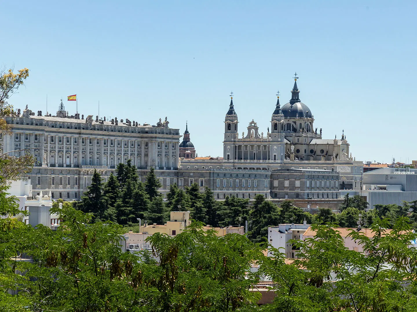
The Senda Real follows an old royal road linking the Royal Alcázar of Madrid, the Palacio de El Pardo and the castle of Manzanares el Real. Its story is tied to 1405, when Henry III of Castile had a hunting lodge built in the El Pardo woods. Later threatened by urban growth, the route was defended by citizen and environmental groups, homologated as the GR-124 by the Spanish Mountain Federation in July 1999, and regionally signposted from 2001.
Notable highlights
- Monte de El Pardo and the Palacio de El Pardo: The trail skirts the eastern edge of this protected holm-oak woodland, a former royal hunting estate. Passing the palace gives the “Senda Real” its historic context.
- Castle of Manzanares el Real (Castillo de los Mendoza): The route ends beside this well-preserved 15th-century Mendoza castle on the shore of the Santillana reservoir. It is the clear architectural finish point of the walk.
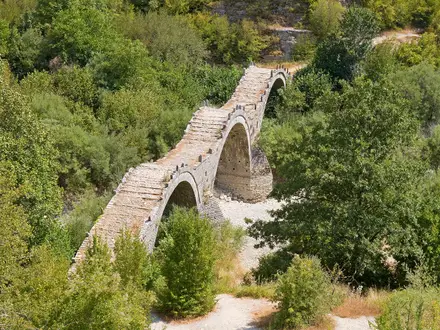
- Embalse de Santillana and Puente del Batán: The final approach reaches the Manzanares reservoir area near a medieval bridge. La Pedriza rises behind, marking the transition from Madrid’s outskirts to the Guadarrama foothills.
- La Pedriza and the Sierra de Guadarrama backdrop: The walk gradually gains height towards the granite scenery of the Sierra de Guadarrama. Manzanares el Real sits below La Pedriza, a major rock landscape within the national park area.
- Historic royal hunting road: The line follows the old camino used between Madrid, El Pardo and Manzanares el Real. For hikers, that makes it a rare Madrid route where urban edge, dehesa, reservoir and royal history connect in two days.
Challenges to expect
The GR-124 is not technically hard: expect easy dirt, gravel, forest tracks, cattle tracks and some paved urban walking. The main challenge is distance, with two long stages of about 26 km. Summer heat is a serious consideration on open lower sections with limited shade. Navigation is helped by white-and-red GR waymarks, but keep to paths around Monte de El Pardo and the Guadarrama protected areas.
HikeList Score
GR124 (Madrid Circular Trail) scored 84/100 on HikeList's trail-quality metrics.
See score breakdownHide breakdown
- Ideal length 63
- Balanced challenge 100
- Scenery & wildness 98
- Varied terrain 83
- Accommodation 74
- Food & support 88
- Path quality 80
- Season flexibility 76
Computed from length, challenge, scenery & wildness, terrain variety, accommodation, food & support, path quality and season flexibility.
 Spain
SpainShow more data Show less
- Forest
- Hills
- River Valley
- Dirt
- Gravel
- Paved
- Hotels
- Hostels
- Family Friendly
- Pet Friendly
- Restrooms
- Water Sources
- Campsites
- Picnic Areas
Photos from hikers
Taken on the trail by people who've reviewed GR124 (Madrid Circular Trail).
Start at Estación de Príncipe Pío or the Glorieta de San Vicente and leave the city via the Casa de Campo edge, Ciudad Universitaria and Dehesa de la Villa. The route then skirts the eastern side of Monte de El Pardo, passing near the Palacio de El Pardo before continuing north towards Tres Cantos.
Continue from Tres Cantos towards Colmenar Viejo, then across rolling open country and reservoir scenery by the Embalse de Santillana and Puente del Batán. The stage finishes at Manzanares el Real, by the Castillo de los Mendoza, with La Pedriza and the Sierra de Guadarrama behind.
Reviews
How would you rate GR124 (Madrid Circular Trail)?
Tap a star to start your review — you could be the first.