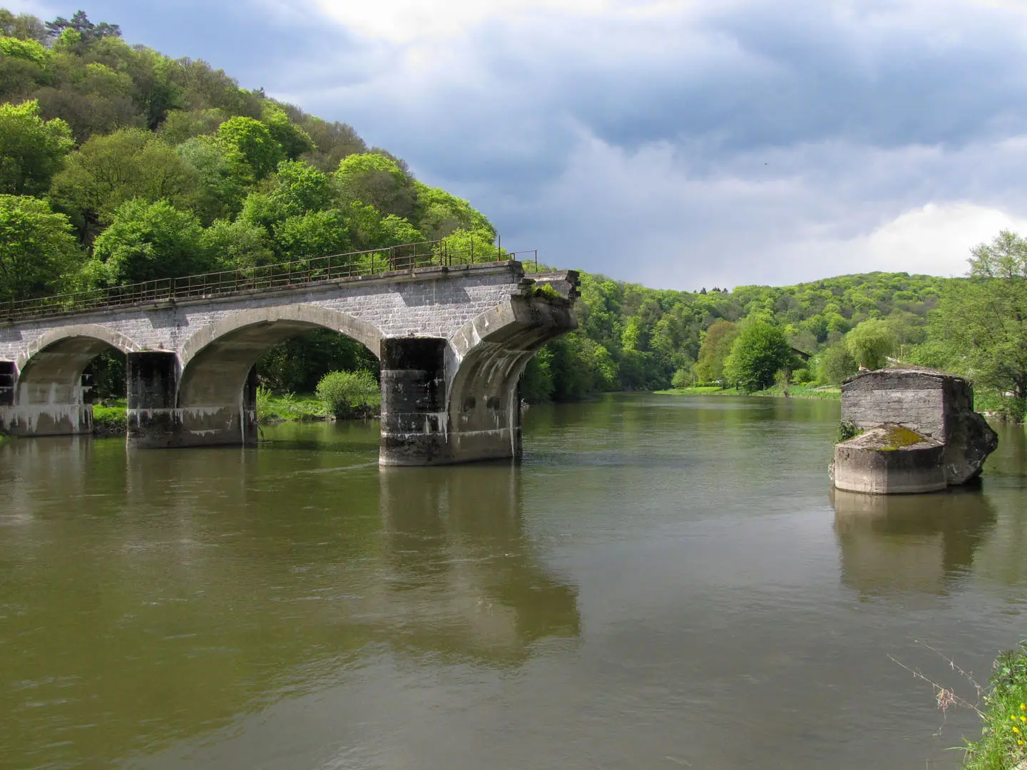
GR 126 (Semois & Meuse Rivers)
How would you rate GR 126 (Semois & Meuse Rivers)?
Tap a star to share your experience and help other hikers.
GR 126 (Semois & Meuse Rivers): Brussels to the Ardennes
HikeList Score
GR 126 (Semois & Meuse Rivers) scored 84/100 on HikeList's trail-quality metrics.
See score breakdownHide breakdown
- Ideal length 91
- Balanced challenge 100
- Scenery & wildness 58
- Varied terrain 94
- Accommodation 92
- Food & support 81
- Path quality 80
- Season flexibility 89
Computed from length, challenge, scenery & wildness, terrain variety, accommodation, food & support, path quality and season flexibility.
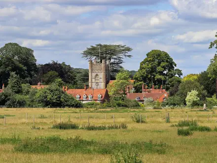
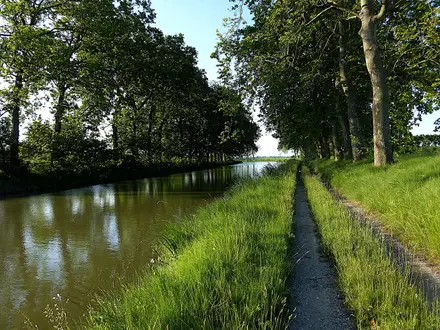
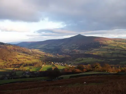
The GR 126 – De Bruxelles à la Semois is a 236 km point-to-point GR trail in Belgium, running from Brussels to Membre-sur-Semois in the southern Ardennes. Allow 11–13 days. The walking is moderate rather than technical: long forest tracks, river-valley paths, farmland, limestone cliffs and some urban pavement. It suits hikers who want a low-mountain Belgian thru-hike with strong rail access, historic towns and long wooded sections rather than alpine terrain.
Route Overview
The route starts at the foot of the Atomium in Brussels, passes central landmarks including Place Sainte-Catherine, the cathedral, Royal Palace area and Bois de la Cambre, then heads south-east through the Forêt de Soignes, Walloon Brabant, the Sambre valley, Namur, the Meuse and Lesse valleys, and the Ardennes to Membre-sur-Semois. Key places include Villers-la-Ville, Spy, Dinant, Freyr, Houyet, Beauraing and Gedinne. It is a linear trail, but railway stations at places such as Hoeilaart, Lustin, Godinne, Houyet and Beauraing make section hiking practical. For other Belgian long-distance options, compare the GR 129 Great Belgium Traverse, GR 12 Amsterdam to Paris Trail or the shorter Brussels Green Walk.
History of the GR 126
The GR 126 is part of Belgium’s Sentiers de Grande Randonnée network, developed from the mid-20th century by SGR asbl / Grote Routepaden to connect the country’s landscapes on foot. This route deliberately links forested country — the Forêt de Soignes, Brabant woods and the Ardennes — with the historic Meuse and Semois valleys. Its abbeys, castles and citadels give it a strong heritage thread; hikers focused on monastic sites may also want the Abbey Trail of Wallonia.
Notable highlights
- Forêt de Soignes: An ancient beech forest on Brussels’ south-eastern edge, with long, straight avenues that make an immediate contrast to the city start. Part of the forest is included in a UNESCO World Heritage-listed primeval beech site.
- Villers-la-Ville Abbey: Ruins of a Cistercian abbey founded in 1146, with a roofless Gothic church, cloister and outbuildings. It is one of the major heritage stops on the route.
- Spy Cave: A prehistoric cave above the Orneau near Spy where important Neanderthal fossils were found in 1886. It adds a rare Palaeolithic landmark to a forest-and-river walk.
- Namur and the Meuse: Namur sits at the confluence of the Sambre and Meuse, below a major citadel. South of the city, the GR 126 follows the Meuse corridor towards Dinant.
- Dinant, Leffe and Freyr: Dinant lies below a clifftop citadel and is the birthplace of Adolphe Sax. Nearby Leffe Abbey and Freyr Castle add major cultural stops beside the Meuse cliffs.
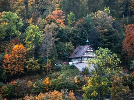
- Lesse and Semois valleys: Around Houyet the route enters the Lesse valley, with views of Château de Walzin, before finishing in the deeply wooded Semois valley at Membre-sur-Semois.
Challenges to expect
The main challenge is endurance: 236 km over 11–13 days, with cumulative climbs rather than big mountains. Expect muddy forest paths in wet weather, longer stages with limited services between villages, and pavement through Brussels and Namur. Waymarking is generally good white-over-red GR balisage, but faded or hidden marks in woodland make a map or GPS sensible.
HikeList Score
GR 126 (Semois & Meuse Rivers) scored 84/100 on HikeList's trail-quality metrics.
See score breakdownHide breakdown
- Ideal length 91
- Balanced challenge 100
- Scenery & wildness 58
- Varied terrain 94
- Accommodation 92
- Food & support 81
- Path quality 80
- Season flexibility 89
Computed from length, challenge, scenery & wildness, terrain variety, accommodation, food & support, path quality and season flexibility.
 Belgium
Show more data Show less
- Forest
- River Valleys
- Farmland
- Limestone Cliffs
- Urban
- Dirt
- Gravel
- Paved
- B&Bs
- Hotels
- Gites
- Campsites
- Family Friendly
- Pet Friendly
- Water Sources
- Campsites
- Picnic Areas
Photos from hikers
Taken on the trail by people who've reviewed GR 126 (Semois & Meuse Rivers).
Reviews
How would you rate GR 126 (Semois & Meuse Rivers)?
Tap a star to start your review — you could be the first.