The Shakespeare Way
How would you rate The Shakespeare Way?
Tap a star to share your experience and help other hikers.
The Shakespeare Way: Stratford-upon-Avon to London
HikeList Score
The Shakespeare Way scored 84/100 on HikeList's trail-quality metrics.
See score breakdownHide breakdown
- Ideal length 91
- Balanced challenge 100
- Scenery & wildness 58
- Varied terrain 100
- Accommodation 75
- Food & support 81
- Path quality 98
- Season flexibility 89
Computed from length, challenge, scenery & wildness, terrain variety, accommodation, food & support, path quality and season flexibility.
The Shakespeare Way, more commonly called Shakespeare's Way, is a 235 km / 146 mile waymarked footpath across England, from Shakespeare's Birthplace in Stratford-upon-Avon to Shakespeare's Globe on London's Bankside. Plan on 10–14 days. It is a moderate, point-to-point walk: no mountains, but plenty of daily distance, field-path navigation, lanes, woodland, towpaths and urban walking. It suits walkers who want a literary long-distance route with towns, inns and rail access rather than remote camping.
Route Overview
The route runs broadly south-east from Stratford-upon-Avon through the River Stour valley, Newbold-on-Stour and Shipston-on-Stour, then over gentle northern Cotswold country past Long Compton, the Rollright Stones and Chipping Norton. It continues via Enstone, Ditchley, Woodstock, Blenheim Park and Oxford, then crosses Oxfordshire towards Chalgrove and Thame before entering the Chiltern Hills via Stonor and the Hambleden valley. From Marlow it passes Cookham, Bourne End and Burnham Beeches, joins the Grand Union Canal towpath through Iver, then follows the Thames Path through west London to Shakespeare's Globe. For other low-level English routes, compare the Ashby Canal Trail and Amber Valley Route.
A modern trail linking Shakespeare's two worlds
The Shakespeare Way is not a documented Elizabethan road. It is a modern themed trail devised by Peter Titchmarsh and opened in April 2006 as a “journey of imagination”. The route links Shakespeare's Stratford-upon-Avon birthplace and family home with the London theatre world where he worked, finishing at the reconstructed Shakespeare's Globe on Bankside. Instead of proving the playwright walked this exact line, it stitches together public rights of way and landmarks along a plausible Stratford-to-London corridor.
Notable highlights
- Shakespeare's Birthplace, Stratford-upon-Avon: The trail starts at the half-timbered Henley Street house where Shakespeare was born in 1564. Stratford also gives easy access to Anne Hathaway's Cottage, Holy Trinity Church and the Royal Shakespeare Theatre.
- Rollright Stones: This ancient stone complex near Long Compton sits close to the route on the Warwickshire-Oxfordshire border. It marks the transition into the northern Cotswold hills and adds a strong prehistoric landmark to the walk.
- Woodstock and Blenheim Park: The path skirts the World Heritage parkland of Blenheim Palace before passing through Woodstock. Bladon, nearby, is associated with Sir Winston Churchill's burial place.
- Oxford: The historic university city is roughly the route's midpoint and a practical rest, resupply and transport stop. Its colleges, libraries and literary associations make it one of the strongest cultural breaks on the trail.
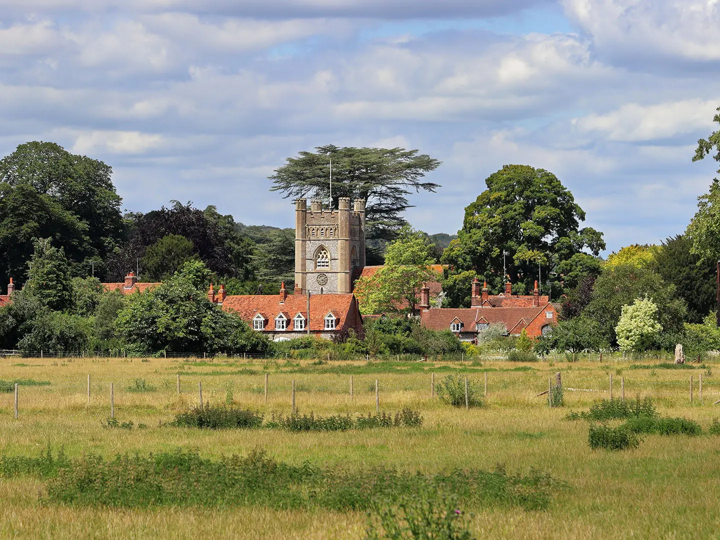
- The Chiltern Hills: The route crosses this designated National Landscape via Stonor and the Hambleden valley, using parts of the Chiltern Way. Expect beech woods, chalk valleys and more rolling ground than the Thames-side stages.
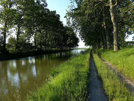
- Grand Union Canal and Thames Path: The final approach shifts from countryside to waterside walking, following the Grand Union Canal through Iver and the Thames Path through west London, including Kew and Chiswick, to Bankside.
Challenges to expect
The difficulty is cumulative rather than technical: long back-to-back days, intermittent waymarking and mixed navigation across field paths, lanes, woodland, canal towpaths and London streets. Low paths and towpaths can be muddy after rain, while winter shortens daylight for 10–14 day schedules. Use the Peter Titchmarsh guidebook, OS Explorer maps or GPX. For a much hillier UK comparison, see the Beacons Way.
HikeList Score
The Shakespeare Way scored 84/100 on HikeList's trail-quality metrics.
See score breakdownHide breakdown
- Ideal length 91
- Balanced challenge 100
- Scenery & wildness 58
- Varied terrain 100
- Accommodation 75
- Food & support 81
- Path quality 98
- Season flexibility 89
Computed from length, challenge, scenery & wildness, terrain variety, accommodation, food & support, path quality and season flexibility.
 United Kingdom
 England
Show more data Show less
- River Valleys
- Gentle Cotswold Hill Country
- Parkland And Estate Grounds
- Chiltern Beech Woodland
- Heathland
- Canal Towpath
- Thames Side Path
- Urban And Suburban West London
- Dirt
- Grass
- Gravel
- Some Paved Towpaths And Roads
- B&Bs
- Inns/Pubs
- Small Hotels
- Family Friendly
- Pet Friendly
- Restrooms
- Water Sources
- Campsites
Photos from hikers
Taken on the trail by people who've reviewed The Shakespeare Way.
Reviews
How would you rate The Shakespeare Way?
Tap a star to start your review — you could be the first.