Estérel Massif Trails
How would you rate Estérel Massif Trails?
Tap a star to share your experience and help other hikers.
Estérel Massif Trails: French Riviera red-rock walks
HikeList Score
Estérel Massif Trails scored 80/100 on HikeList's trail-quality metrics.
See score breakdownHide breakdown
- Ideal length 55
- Balanced challenge 100
- Scenery & wildness 98
- Varied terrain 76
- Accommodation 66
- Food & support 68
- Path quality 98
- Season flexibility 76
Computed from length, challenge, scenery & wildness, terrain variety, accommodation, food & support, path quality and season flexibility.
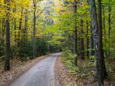
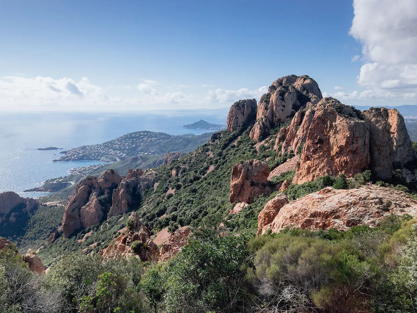
The Estérel Massif Trails are a waymarked walking network in south-east France, between Saint-Raphaël/Fréjus and Cannes/Mandelieu-la-Napoule on the Côte d'Azur. Treat 15 km as a representative full-day circuit, not a fixed route: options range from short 2.5–8 km walks to longer 15–28 km loops. The overall grade is moderate, with rocky red volcanic terrain, forest, coastal balcony paths and steep summit ascents. It suits day walkers who want Riviera access without committing to a hut-to-hut trek.
Route Overview
There is no single start or finish. Main access points include Agay, Anthéor, Le Trayas, Théoule-sur-Mer and Saint-Raphaël, with car parks at Togo/Gratadis, Col de Notre-Dame, Santa Lucia, Camp Long/Dramont, Rocher de Saint-Barthélemy and Parking de la Sainte-Baume. Most walks are loops or out-and-backs to Pic de l'Ours, Pic du Cap Roux, Mont Vinaigre, Gorges du Blavet or Lac de l'Écureuil. The GR49 and GR51 also cross the massif, while the yellow-marked sentier du littoral follows coastal sections. For a longer French mountain route compare the Chartreuse Trail (GR9 Segment) or the high-Pyrenean Cirque de Gavarnie Trails; for a flatter trip, see the Canal du Midi Towpath.
Volcanic rock, Roman roads and Riviera legends
The Estérel's red rhyolite and porphyry come from Permian volcanic activity around 250 million years ago. In Roman times, the Via Aurelia ran along the edge of the massif linking Italy to Arles. Later, the coast and ravines became associated with brigands, including Gaspard de Besse, the 18th-century Provençal outlaw linked to Mont Vinaigre and the Auberge des Adrets. Cap Roux also has associations with Saint-Honorat and the early hermit-monks of the nearby Lérins Islands.
Notable highlights
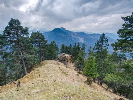
- Pic de l'Ours (~492–496 m): A popular antenna-topped summit reached from Col de Notre-Dame. The climb moves from cork oak onto bare red rock, with views towards the Gulf of Napoule, Bay of Cannes and Lérins Islands.
- Pic du Cap Roux (453 m): A standalone red-rock peak above the sea and one of the massif's best-known viewpoints. The route passes the Saint-Honorat hermit cave linked to the early monks of the Lérins.
- Mont Vinaigre (618 m): The highest point of the Massif de l'Esterel, crowned by a fire-watch tower. It is a separate out-and-back objective, not the high point of the Pic de l'Ours circuit.
- Gorges du Blavet: An inland red-porphyry canyon near Bagnols-en-Forêt with caves and lusher vegetation. It offers a shadier contrast to the exposed coastal summits.
- Lac de l'Écureuil: A small reservoir inland of Théoule-sur-Mer, used as a turning point on longer routes such as the Dent de l'Ours circuit.
- Corniche d'Or: The red-cliff coast road and adjacent balcony paths between Saint-Raphaël and Cannes, with walks starting from car parks along the route and views towards Île d'Or.
Challenges to expect
Expect rough red rhyolite, stony dirt tracks, steep summit paths and exposed coastal sections. Although some family walks are easy, signature peak loops can feel harder than their altitude suggests. Navigation needs attention because the network has many junctions, even though waymarking is generally good. In high summer, fire risk is the key issue: the Var prefecture can close roads and trails, especially from mid-June to mid-September.
HikeList Score
Estérel Massif Trails scored 80/100 on HikeList's trail-quality metrics.
See score breakdownHide breakdown
- Ideal length 55
- Balanced challenge 100
- Scenery & wildness 98
- Varied terrain 76
- Accommodation 66
- Food & support 68
- Path quality 98
- Season flexibility 76
Computed from length, challenge, scenery & wildness, terrain variety, accommodation, food & support, path quality and season flexibility.
 France
Show more data Show less
- Mountainous
- Forest
- Coastal
- Rocky
- Dirt
- Hotels
- Campsites
- Family Friendly
- Pet Friendly
- Campsites
- Picnic Areas
Photos from hikers
Taken on the trail by people who've reviewed Estérel Massif Trails.
Reviews
How would you rate Estérel Massif Trails?
Tap a star to start your review — you could be the first.