Elan Valley Trail
How would you rate Elan Valley Trail?
Tap a star to share your experience and help other hikers.
Elan Valley Trail: Easy Reservoir Walk in Mid-Wales
HikeList Score
Elan Valley Trail scored 68/100 on HikeList's trail-quality metrics.
See score breakdownHide breakdown
- Ideal length 55
- Balanced challenge 50
- Scenery & wildness 71
- Varied terrain 76
- Accommodation 83
- Food & support 88
- Path quality 65
- Season flexibility 63
Computed from length, challenge, scenery & wildness, terrain variety, accommodation, food & support, path quality and season flexibility.
The Elan Valley Trail is an easy linear walking and cycling route in Powys, mid-Wales, running about 14 km one-way from Cwmdauddwr/Rhayader to Craig Goch Dam. It follows a surfaced former railway through the Elan Valley Estate, passing reservoirs, dams and viaducts with very gentle gradients. Most walkers treat it as an out-and-back day walk, roughly doubling the distance. It suits beginners, families, pushchairs and many wheelchair users on the main section.
Route Overview
Start at Cwmdauddwr, just west of Rhayader, or at the Elan Valley Visitor Centre, then follow the former railway grade up the reservoir chain towards Craig Goch Dam. Key places include Caban Coch Dam and Reservoir, the Garreg Ddu Viaduct and submerged dam, Foel Tower, Pen y Garreg Dam and finally Craig Goch, the “top dam”. The route is point-to-point, not a loop, so plan a return the same way unless arranging a pickup. The Visitor Centre has parking, cafe, shop and toilets; Craig Goch also has public toilets. For more Welsh walking, see the Beacons Way, Aber Falls Walk and Anglesey Coastal Path.
Railways, Reservoirs and Birmingham’s Water Supply
The Elan Valley reservoirs were authorised by the Birmingham Corporation Water Act 1892 and built to supply clean drinking water to Birmingham. Construction of the first four dams — Caban Coch, Garreg Ddu, Pen y Garreg and Craig Goch — began in 1893 and the scheme opened on 21 July 1904. The trail follows the dismantled Elan Valley Railway, built to move workers and materials for the dams and removed by 1916. Water still flows by gravity about 73 miles to Birmingham.
Notable highlights
- Old Birmingham Corporation Railway: The trail uses the dismantled Elan Valley Railway, giving it an easy, level gradient. It was built to haul people and dam-building materials through the valley.
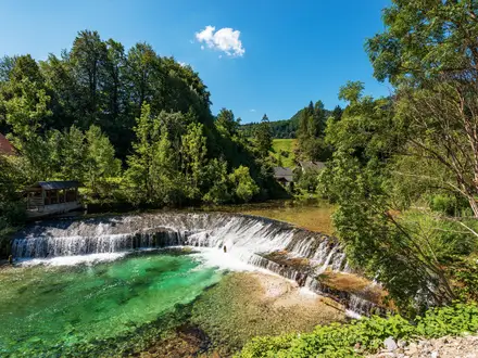
- Caban Coch and Garreg Ddu Viaduct: Caban Coch is the lowest reservoir, with a dam designed to resemble a natural waterfall when full. Just upstream, the Garreg Ddu Viaduct crosses above a submerged dam.
- Pen y Garreg Dam and Foel Tower: This middle section gives classic Elan Valley reservoir views. The ornamental Foel Tower marks the start of the gravity-fed aqueduct carrying water to Birmingham.
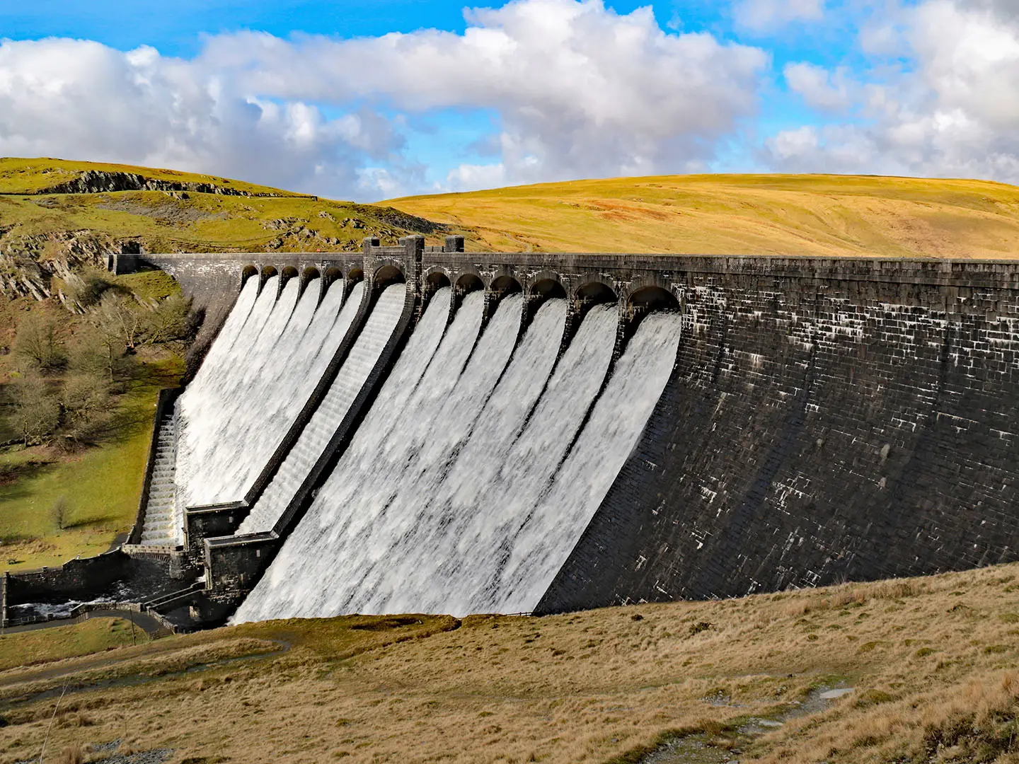
- Craig Goch Dam: The highest dam on the route is the scenic turnaround point for most walkers. Its curving arches and roadway make it one of the valley’s signature views.
- Reservoirs, red kites and dark skies: The estate is an International Dark Sky Park and a strong area for seeing red kites. The reservoirs are especially dramatic after wet weather, when water spills over the masonry.
Challenges to expect
This is a low-ascent, well-graded trail, but it is still a full day if walked out and back. Mid-Wales weather changes quickly, mobile coverage is very limited, and there is no on-route accommodation. Expect shared use with cyclists and horse riders, free-roaming livestock, self-closing gates and a short official road diversion of about 2.7 miles between Penbont and Craig Goch.
HikeList Score
Elan Valley Trail scored 68/100 on HikeList's trail-quality metrics.
See score breakdownHide breakdown
- Ideal length 55
- Balanced challenge 50
- Scenery & wildness 71
- Varied terrain 76
- Accommodation 83
- Food & support 88
- Path quality 65
- Season flexibility 63
Computed from length, challenge, scenery & wildness, terrain variety, accommodation, food & support, path quality and season flexibility.
Show more data Show less
- Valley
- Reservoir
- Former Railway
- Asphalt
- Compacted
- Hotels
- Campsites
- Self Catering
- Family Friendly
- Pet Friendly
- Restrooms
- Water Sources
- Campsites
- Picnic Areas
In these collections
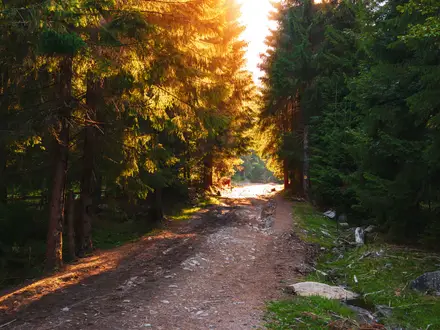
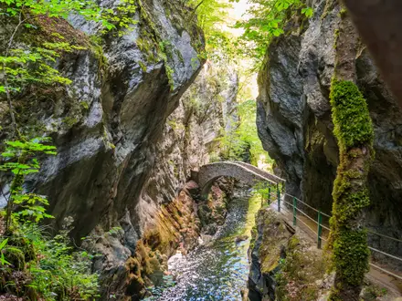
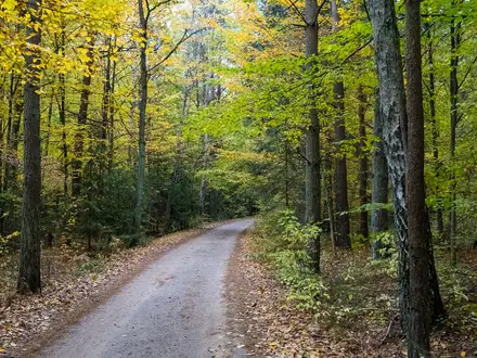
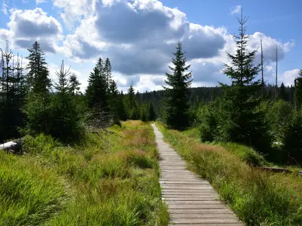
Photos from hikers
Taken on the trail by people who've reviewed Elan Valley Trail.
Reviews
How would you rate Elan Valley Trail?
Tap a star to start your review — you could be the first.