Drenthepad
How would you rate Drenthepad?
Tap a star to share your experience and help other hikers.
Drenthepad: A Complete Guide to Drenthe’s 361 km Loop
HikeList Score
Drenthepad scored 83/100 on HikeList's trail-quality metrics.
See score breakdownHide breakdown
- Ideal length 75
- Balanced challenge 90
- Scenery & wildness 66
- Varied terrain 94
- Accommodation 92
- Food & support 88
- Path quality 98
- Season flexibility 89
Computed from length, challenge, scenery & wildness, terrain variety, accommodation, food & support, path quality and season flexibility.
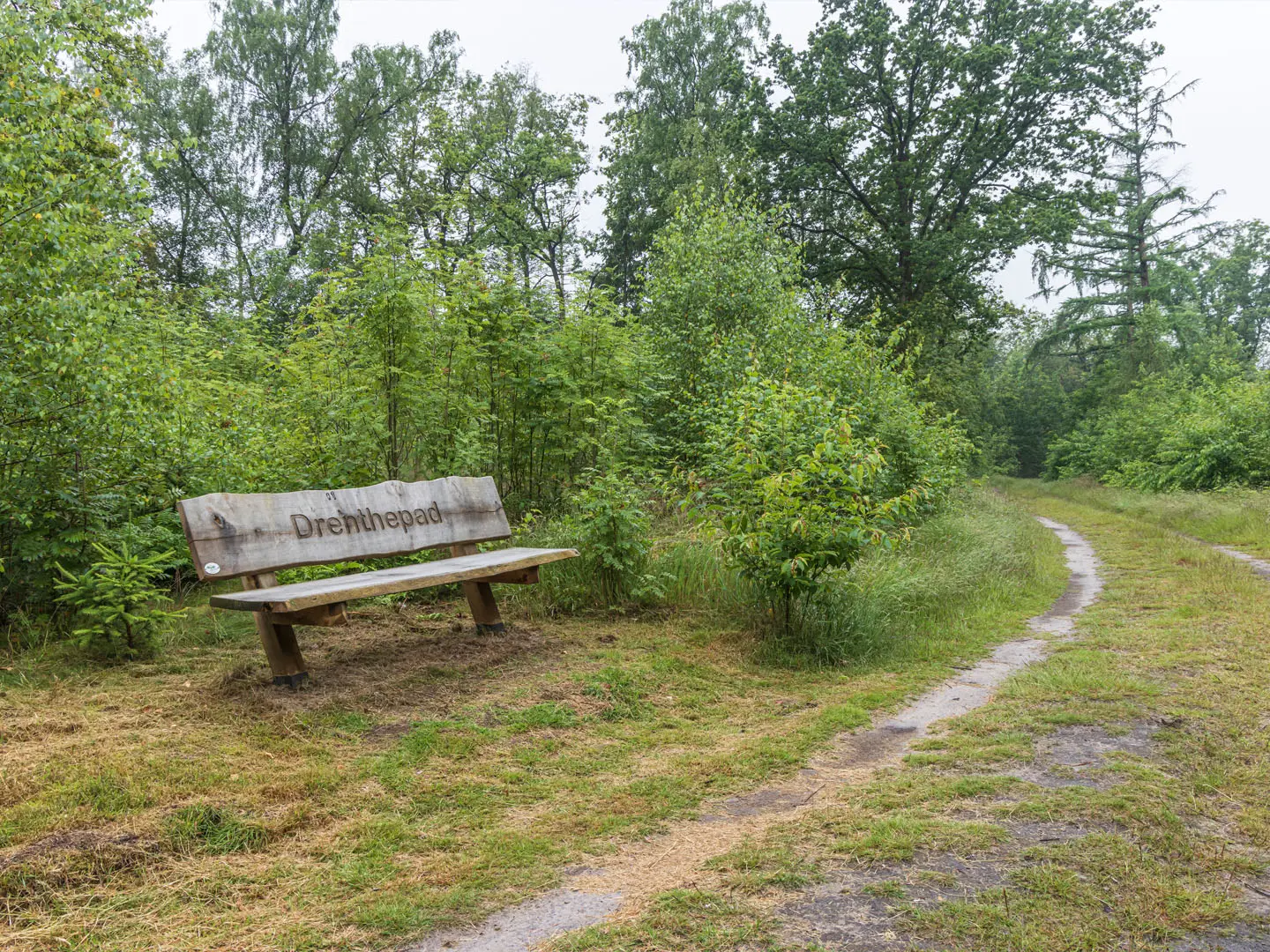
The Drenthepad is a 361 km waymarked loop through Drenthe in the north-east Netherlands, with brief dips into Friesland and Groningen. Officially Streekpad 6, it is divided into 20 day-stages and suits walkers who want an easy to moderate long-distance route without mountain terrain. Expect flat walking on mostly unpaved sandy tracks, forest paths and quiet lanes through heathland, woodland, stream valleys, farmland and former peat moor. The challenge is the full distance, not ascent.
Route Overview
The official start and finish is Beilen railway station on Stationslaan 7, but because the Drenthepad is circular you can start anywhere and walk clockwise or anticlockwise. The loop links places including Ruinen, Havelterberg, Diever, Appelscha, Veenhuizen, Norg, Roden, Zuidlaren, Gieten, Borger, Emmen, Sleen, Westerbork and Hooghalen before returning to Beilen. Yellow-red waymarks sign both directions. For another northern Dutch long-distance walk, compare the Friese Woudenpad; for a very different flat Dutch landscape, see the Groene Hart Pad.
The Netherlands’ Oldest Long-Distance Footpath
The Drenthepad was opened in 1973 by Nivon, the Nederlandse Natuurvrienden hiking association, and is regarded as the first and oldest marked long-distance walking route in the Netherlands. It was later classified as a streekpad, which is why the route now uses yellow-red markers rather than the white-red LAW marking. Nivon continues to publish the route guide and GPX, with the current authoritative route listed as 361 km over 20 stages.
Notable highlights
- Three national parks: The loop links Dwingelderveld, Drents-Friese Wold and the Drentsche Aa stream-valley landscape, giving a strong mix of wet heath, woodland and open stream-valley walking.
- Hondsrug UNESCO Global Geopark: The route follows this ice-age sand ridge, passing a landscape associated with prehistoric hunebedden, megalithic dolmen tombs and Bronze-Age burial mounds.
- Veenhuizen and the Colonies of Benevolence: Veenhuizen is part of the Koloniën van Weldadigheid, a 19th-century social-reform settlement inscribed as a UNESCO World Heritage Site.
- Westerbork near Hooghalen: The path passes the former WWII transit camp site, now a memorial and museum, making this one of the route’s most historically serious sections.
- Late-summer heathland: In late August, the heaths of Dwingelderveld and the Hondsrug are a classic reason to walk the Drenthepad, when the heather turns purple.
Challenges to expect
There is no real climbing: Drenthe is among the flattest parts of the Netherlands and the highest ground is only around 30 m. The main challenge is covering 361 km over 20 stages. Sandy tracks can be tiring, and open heathland or farmland can feel exposed in poor weather. Waymarking is yellow-red in both directions, but the Nivon guide or GPX is useful for planning accommodation and stage logistics. If you want tougher terrain in the Netherlands, compare De Meinweg National Park Trail or the longer Dutch Coastal Path.
HikeList Score
Drenthepad scored 83/100 on HikeList's trail-quality metrics.
See score breakdownHide breakdown
- Ideal length 75
- Balanced challenge 90
- Scenery & wildness 66
- Varied terrain 94
- Accommodation 92
- Food & support 88
- Path quality 98
- Season flexibility 89
Computed from length, challenge, scenery & wildness, terrain variety, accommodation, food & support, path quality and season flexibility.
 Netherlands
Show more data Show less
- Heathland
- Forest
- Stream Valleys
- Farmland
- Peat Moor
- Sand
- Unsurfaced Trails
- Quiet Lanes
- Forest Cabins
- Campsites
- B&Bs
- Hotels
- Family Friendly
- Pet Friendly
- Restrooms
- Water Sources
- Campsites
- Picnic Areas
Photos from hikers
Taken on the trail by people who've reviewed Drenthepad.
Reviews
How would you rate Drenthepad?
Tap a star to start your review — you could be the first.