Amber Valley Route
How would you rate Amber Valley Route?
Tap a star to share your experience and help other hikers.
Amber Valley Routeways: Derbyshire Circular Walks
HikeList Score
Amber Valley Route scored 82/100 on HikeList's trail-quality metrics.
See score breakdownHide breakdown
- Ideal length 55
- Balanced challenge 100
- Scenery & wildness 78
- Varied terrain 94
- Accommodation 91
- Food & support 88
- Path quality 80
- Season flexibility 89
Computed from length, challenge, scenery & wildness, terrain variety, accommodation, food & support, path quality and season flexibility.
The Amber Valley Routeways are a numbered network of waymarked circular walks across Amber Valley, Derbyshire, England. There is no single canonical “Amber Valley Route”: individual routeways vary roughly 6.5–15 km, while the headline figure here uses Routeway 11, a moderate 11.4 km Belper–Kilburn loop with about 333 m ascent. These are half-day to full-day walks on farmland, woodland, river-valley paths, bridleways and quiet lanes, best for hikers who want signed day routes rather than a multi-day thru-hike.
Route Overview
Start and finish depend on the numbered routeway you choose; each is a loop with its own Amber Valley Borough Council self-guided leaflet. A representative option is Routeway 11, the Belper to Kilburn circular walk: about 11.4 km / 7.2 miles, moderate, and typically 3–3.5 hours. Other signed circuits include Routeway 14 Belper–Blackbrook, Routeway 8 around Ripley, Routeway 3 Alfreton–South Wingfield, and Routeways 6 and 16 around Heanor, Shipley Country Park and Mapperley Reservoir. Expect public footpaths, bridleways, canal or river towpaths, short urban sections and quiet-road links. For a different canal-based walk, compare the Ashby Canal Trail; for another UK route style, see the Beacons Way.
Industrial Revolution, River Valleys and Rebellion
Amber Valley sits close to key Industrial Revolution landscapes: the Cromford Canal was built in the 1790s, the Derwent valley is known for pioneering cotton mills, and the River Amber historically powered mineral-crushing mills. The area is also linked to the 1817 Pentrich rising, when men led by Jeremiah Brandreth marched from South Wingfield towards Nottingham before betrayal by a government spy; three leaders were hanged at Derby. Older landmarks include Codnor Castle and Wingfield Manor.
Notable highlights
- Cromford Canal (Ambergate section): An early-1790s canal engineered by William Jessop and Benjamin Outram. The Ambergate–Cromford stretch gives a level towpath walk beside the Derwent Valley Mills World Heritage Site.
- Codnor Castle: A ruined 13th-century de Grey stronghold on a ridge above the Erewash valley. It is a Grade I listed scheduled monument, viewable from public footpaths.
- Wingfield Manor: A ruined medieval and Tudor manor house at South Wingfield. It was once briefly a prison for Mary, Queen of Scots, and is a major landmark near the routeways.
- Pentrich and the 1817 rising: Pentrich and South Wingfield are central to the Pentrich Revolution. The waymarked Pentrich Revolution Trail follows the story of England’s last armed rebellion.
- Shipley Country Park and Mapperley Reservoir: Reclaimed coal-mining country now offering lakes, woodland and meadow paths. Routeways 6 and 16 link this area into the wider network.
- Florence Nightingale Trail: A roughly 6-mile waymarked walk through Holloway, Lea and Dethick. It passes Lea Hurst, the Derbyshire family home of Florence Nightingale.
Challenges to expect
The walking is moderate rather than technical, but expect repeated short climbs and descents: Routeway 11 has about 333 m of ascent. Field and woodland paths can be muddy after rain, especially in winter. Some sections use quiet roads or short urban stretches. Waymarking uses numbered Amber Valley Routeway discs, but carry the relevant council leaflet or a map/GPS where rural junctions and overlapping routes make choices less obvious.
HikeList Score
Amber Valley Route scored 82/100 on HikeList's trail-quality metrics.
See score breakdownHide breakdown
- Ideal length 55
- Balanced challenge 100
- Scenery & wildness 78
- Varied terrain 94
- Accommodation 91
- Food & support 88
- Path quality 80
- Season flexibility 89
Computed from length, challenge, scenery & wildness, terrain variety, accommodation, food & support, path quality and season flexibility.
Show more data Show less
- Forest
- Rolling Hills
- River Valley
- Farmland
- Dirt
- Gravel
- Paved
- Hotels
- Guesthouses
- Inns
- Family Friendly
- Pet Friendly
- Restrooms
- Water Sources
- Campsites
- Picnic Areas
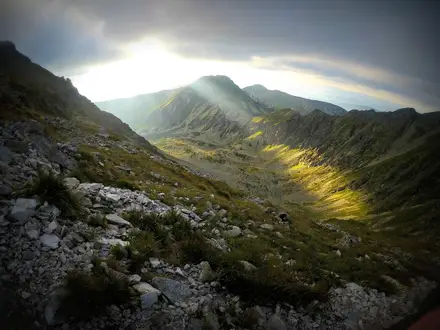
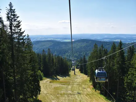
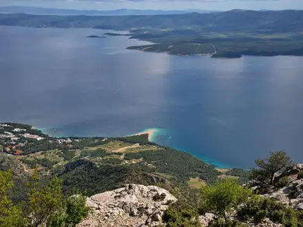
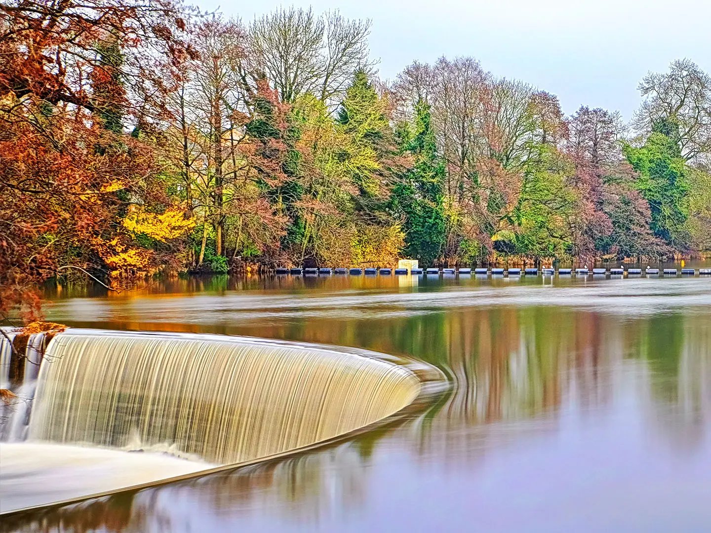
Photos from hikers
Taken on the trail by people who've reviewed Amber Valley Route.
A moderate loop from Belper towards Kilburn and back, using hilly farmland, woodland, quiet lanes and some urban sections. Allow about 3–3.5 hours and expect roughly 333 m of total ascent.
Reviews
How would you rate Amber Valley Route?
Tap a star to start your review — you could be the first.