Aggtelek National Park Trail
How would you rate Aggtelek National Park Trail?
Tap a star to share your experience and help other hikers.
Aggtelek National Park Trail: Baradla Karst Walk Guide
HikeList Score
Aggtelek National Park Trail scored 84/100 on HikeList's trail-quality metrics.
See score breakdownHide breakdown
- Ideal length 55
- Balanced challenge 100
- Scenery & wildness 98
- Varied terrain 64
- Accommodation 83
- Food & support 88
- Path quality 98
- Season flexibility 89
Computed from length, challenge, scenery & wildness, terrain variety, accommodation, food & support, path quality and season flexibility.
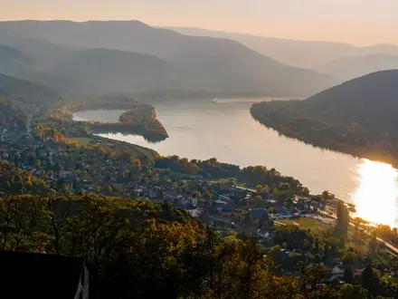
The “Aggtelek National Park Trail” is best understood as the 7.5 km Baradla Nature Trail (Baradla tanösvény) in Aggtelek National Park, northern Hungary. This moderate, one-day point-to-point walk links the Baradla Cave entrances at Aggtelek and Jósvafő across wooded karst plateau. It suits hikers wanting a short, waymarked route with limestone outcrops, dolines, cave entrances and easy access to guided Baradla Cave tours, rather than a remote multi-day trek.
Route Overview
Start at the main Baradla Cave entrance in Aggtelek village and follow yellow blazes south-east across the karst plateau towards Jósvafő. The route passes forest paths, rocky limestone ground and the Vörös-tó (Red Lake) cave entrance roughly 4 km from Aggtelek before finishing at the Jósvafő / Tengerszem cave entrance. It is a point-to-point day walk, so plan a return shuttle or local transport back to Aggtelek if you are not continuing on foot. The park is also crossed by Hungary’s National Blue Trail; for a longer hilly Hungarian route, compare the nearby Bükk National Park Trail or the Börzsöny Mountains Trail, or swap the karst for the open plains of the Hortobágy National Park Trail.
Karst, caves and early nature-trail history
Aggtelek National Park was founded in 1985 to protect the area’s karst landforms and cave systems, making it Hungary’s only national park created primarily for non-living natural assets. The Caves of Aggtelek Karst and Slovak Karst became a UNESCO World Heritage Site in 1995. The Baradla Nature Trail predates the park: it opened in 1983 as the area’s first nature trail, with interpretive boards explaining the natural and cultural history of the karst.
Notable highlights
- Baradla Cave: One of Europe’s largest stalactite caves, around 25.5 km long, with part of the system extending into Slovakia as Domica. Guided cave tours are ticketed and make an easy add-on to the surface walk.
- Vörös-tó (Red Lake) entrance: A karst spring and cave entrance roughly midway along the route, named for reddish sediment. It is also the start of the longest lit cave tour.
- Aggtelek village: The northern trailhead and main gateway to Baradla Cave, with the principal cave entrance, visitor centre and accommodation.
- Jósvafő village: The southern end of the walk at the Tengerszem cave entrance. It is a quiet karst village with traditional houses and the cave exit.
- Fertős-tető (609 m): The highest summit in Aggtelek National Park, rising above the wooded karst plateau. The nature trail crosses the plateau but does not summit it.
- Bat caves and wildlife: The Baradla–Domica caves shelter 21 of Europe’s 28 bat species, including the protected pond bat and Mediterranean horseshoe bat, while the surrounding forest holds red deer and wild boar.
Challenges to expect
This is a short route, but the rocky karst surface can be uneven and slippery after rain. Navigation is straightforward on yellow blazes, though you should still carry a map or offline route. The point-to-point finish means transport back to Aggtelek needs planning. Surface walking is free, but cave visits are ticketed, and the cave interior is about 10°C year-round, so bring an extra layer.
HikeList Score
Aggtelek National Park Trail scored 84/100 on HikeList's trail-quality metrics.
See score breakdownHide breakdown
- Ideal length 55
- Balanced challenge 100
- Scenery & wildness 98
- Varied terrain 64
- Accommodation 83
- Food & support 88
- Path quality 98
- Season flexibility 89
Computed from length, challenge, scenery & wildness, terrain variety, accommodation, food & support, path quality and season flexibility.
 Hungary
Show more data Show less
- Forest
- Mountainous
- Dirt
- Rocky
- Hotels
- Hostels
- Campsites
- Family Friendly
- Pet Friendly
- Restrooms
- Water Sources
- Campsites
- Shelters
- Picnic Areas
Photos from hikers
Taken on the trail by people who've reviewed Aggtelek National Park Trail.
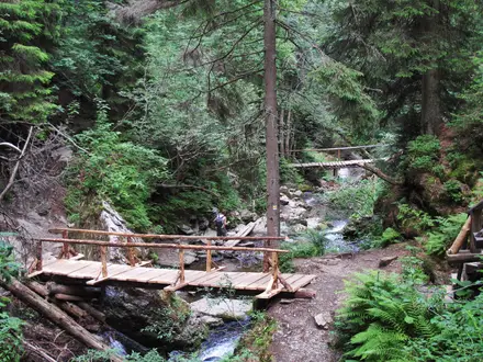
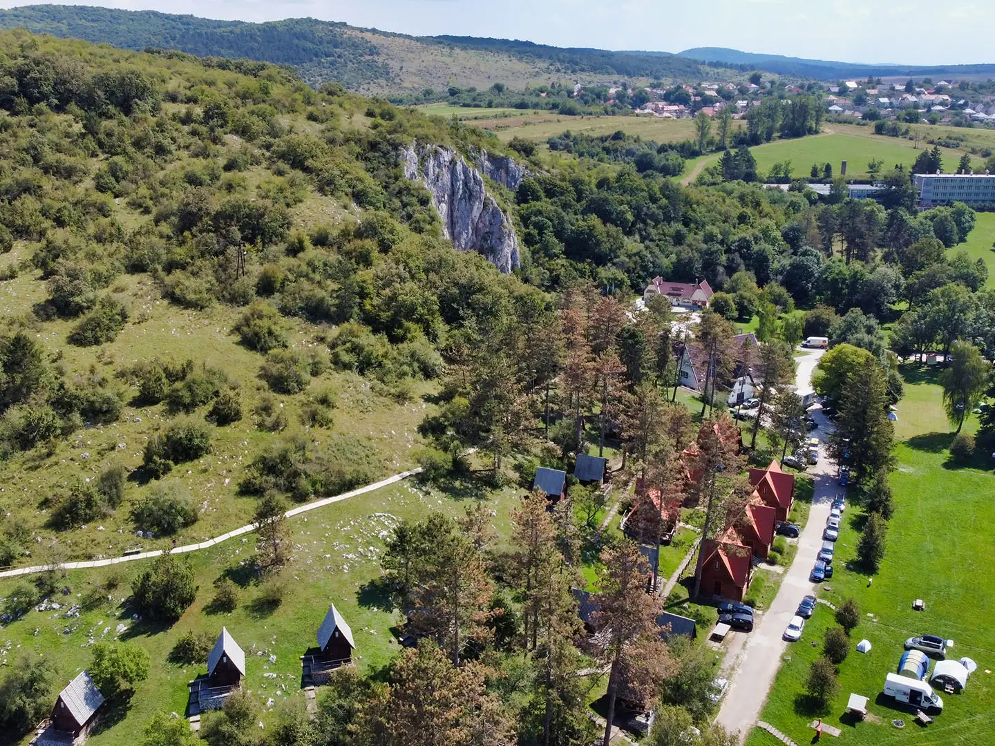
Walk from the Baradla Cave entrance in Aggtelek across the wooded karst plateau on the yellow-blazed Baradla Nature Trail. Pass limestone outcrops, dolines and the Vörös-tó cave entrance roughly 4 km from Aggtelek, then continue to the Jósvafő / Tengerszem entrance. Allow roughly 3 hours on foot, plus time for cave tours or stops.
Reviews
How would you rate Aggtelek National Park Trail?
Tap a star to start your review — you could be the first.