Windrush Way
How would you rate Windrush Way?
Tap a star to share your experience and help other hikers.
Windrush Way: Cotswold Hills Day Walk
HikeList Score
Windrush Way scored 85/100 on HikeList's trail-quality metrics.
See score breakdownHide breakdown
- Ideal length 55
- Balanced challenge 100
- Scenery & wildness 98
- Varied terrain 83
- Accommodation 83
- Food & support 81
- Path quality 98
- Season flexibility 89
Computed from length, challenge, scenery & wildness, terrain variety, accommodation, food & support, path quality and season flexibility.
The Windrush Way is a 22.5 km waymarked Cotswold long-distance footpath in Gloucestershire, England, usually walked in one full day. This moderate point-to-point route runs between Winchcombe and Bourton-on-the-Water, taking the open upland line rather than the valley villages followed by the Warden's Way. It suits hikers who want a long Cotswold day walk with rolling hills, field paths, woodland, deserted medieval village sites and a final approach beside the River Windrush.
Route Overview
Start at Abbey Terrace in Winchcombe, where the Windrush Way links with the Cotswold Way, and finish at the war memorial in Bourton-on-the-Water, where it meets the Oxfordshire Way. It can be walked in either direction, but the classic line heads out past Sudeley Castle and Spoonley Wood, then climbs towards Hawling and Windrush Hill before crossing the tops past Lower Harford and Aylworth. The route deliberately avoids Naunton, the Slaughters and Guiting Power; those are on the Warden's Way. There are no intermediate villages or refreshment stops, so arrange your point-to-point return before setting off. For other shorter British routes, compare the Amber Valley Route or the Ashby Canal Trail.
Roman remains, lost villages and a modern Cotswold route
The Windrush Way was devised in the 1980s by the Cotswold Voluntary Wardens, alongside its companion Warden's Way, to create two contrasting walks between Winchcombe and Bourton-on-the-Water. The trail crosses a much older landscape: Sudeley Castle and the Roman villa remains at Spoonley Wood sit near the start, while the high ground holds earthworks of deserted medieval villages including Hawling, Lower Harford and Aylworth. The path is named for the River Windrush, whose upper reaches it follows into Bourton.
Notable highlights
Sudeley Castle: A historic Cotswold castle on the edge of Winchcombe, close to the start of the walk. It is associated with Katherine Parr, Henry VIII's sixth and last wife, who is buried there.
Spoonley Wood Roman villa: Roman villa remains hidden in woodland near Sudeley. The site has a reconstructed mosaic under a corrugated-iron shelter, making it one of the route's clearest archaeological stops.
Hawling deserted medieval village: One of the route's 'lost' settlements, now seen as earthworks on the hillside rather than a living village. It marks the Windrush Way's preference for open upland history over inhabited valley villages.
Windrush Hill: The main climb and high ground of the walk, crossing exposed Cotswold uplands. Expect open views, windier conditions and a more remote feel than the Warden's Way.
Lower Harford deserted medieval village: Another abandoned settlement site along the route, visible today only as faint earthworks. It reinforces the trail's theme of walking through the remains of older Cotswold settlement patterns.
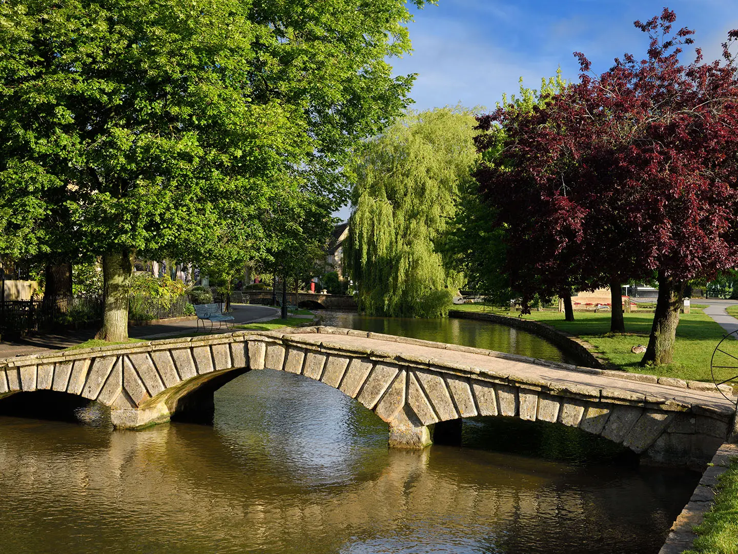
River Windrush and Bourton-on-the-Water: The final section drops to the young River Windrush and follows it into Bourton-on-the-Water. The village is known for its low stone bridges across the river.
Challenges to expect
This is moderate rather than technical: expect undulating Cotswold uplands, a steadier climb on Windrush Hill, many stiles and field gates, grassy field paths, woodland tracks and short quiet-lane sections. The ridges are exposed, and winter can mean mud and bleak conditions. There are no cafes or pubs between Winchcombe and Bourton-on-the-Water, so carry food and water despite the waymarking.
HikeList Score
Windrush Way scored 85/100 on HikeList's trail-quality metrics.
See score breakdownHide breakdown
- Ideal length 55
- Balanced challenge 100
- Scenery & wildness 98
- Varied terrain 83
- Accommodation 83
- Food & support 81
- Path quality 98
- Season flexibility 89
Computed from length, challenge, scenery & wildness, terrain variety, accommodation, food & support, path quality and season flexibility.
Show more data Show less
- Hills
- Forest
- River Valley
- Dirt
- Grass
- Gravel
- Hotels
- Hostels
- Campsites
- Family Friendly
- Pet Friendly
- Restrooms
- Water Sources
- Campsites
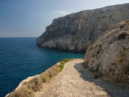
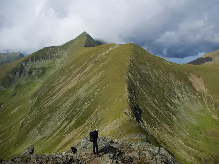
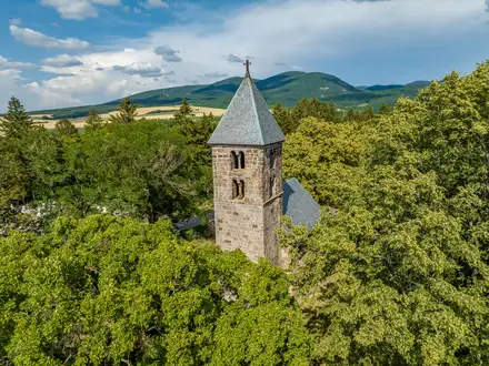
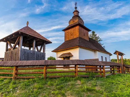
Photos from hikers
Taken on the trail by people who've reviewed Windrush Way.
Reviews
How would you rate Windrush Way?
Tap a star to start your review — you could be the first.