Vasaloppsleden (Vasalopp Trail)
How would you rate Vasaloppsleden (Vasalopp Trail)?
Tap a star to share your experience and help other hikers.
Vasaloppsleden (Vasalopp Trail): A 90 km Forest Walk Through Dalarna
HikeList Score
Vasaloppsleden (Vasalopp Trail) scored 81/100 on HikeList's trail-quality metrics.
See score breakdownHide breakdown
- Ideal length 85
- Balanced challenge 100
- Scenery & wildness 71
- Varied terrain 89
- Accommodation 67
- Food & support 72
- Path quality 84
- Season flexibility 89
Computed from length, challenge, scenery & wildness, terrain variety, accommodation, food & support, path quality and season flexibility.
Vasaloppsleden, the Vasalopp Trail, is a 90 km point-to-point hike in Dalarna, Sweden, following the summer walking version of the Vasaloppet corridor from Salen to Mora. Plan around 5 days. The terrain is easy — forest paths, gravel roads, boardwalks and short asphalt sections — but the full distance makes it a moderate multi-day walk. It suits hikers who want a well-marked lowland trail with simple cabins, shelters, bog and forest scenery, and a strong link to Sweden’s best-known ski race.
Route Overview
Most hikers walk west to east from Berga by, Salen, the Vasaloppet start, to Vasagatan in Mora, the race finish; the trail is also signposted in the opposite direction. It follows the historic Vasaloppet course via Smagan, Mangsbodarna, Risberg, Evertsberg, Oxberg, Hokberg and Eldris, with Evertsberg at km 47 as the midpoint. Where the ski course crosses open marshland, the hiking route keeps to firmer ground. This is a point-to-point walk and part of the European long-distance path E1. If you are comparing Swedish long-distance trails, also look at Bergslagsleden, Höga Kustenleden (High Coast Trail) and Bohusleden.
Vasaloppet history and the Gustav Vasa legend
Vasaloppsleden follows the route of the Vasaloppet, the cross-country ski race first run on 19 March 1922 and won by Ernst Alm. The race commemorates the future King Gustav Vasa’s flight on skis in the winter of 1520–21 from soldiers of the Danish king Christian II. According to legend, Gustav left Mora for Norway after failing to inspire rebellion; the men of Mora changed their minds and sent Lars and Engelbrekt after him, catching him at Salen. The modern race, and most hikers, travel the opposite way: Salen to Mora.
Notable highlights
- The opening climb out of Salen: The only sustained ascent comes immediately after Berga by, reaching the 528 m high point within the first 2–3 km. After that, the route trends gently downhill towards Mora.
- Evertsberg, km 47: The halfway checkpoint is marked by historic Evertsbergs kapell and is one of the best-known places on the Vasaloppet course. It is a natural break point on a 5-day walk.
- Vasaloppet checkpoint villages: Smagan, Mangsbodarna, Risberg, Evertsberg, Oxberg, Hokberg and Eldris structure the route. In summer they are quiet red-cottage hamlets with rest spots, some supplies and water.
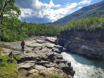
- Dalarna forests, bogs and fäbodar: Expect long stretches of pine and spruce forest, open marsh crossed on boardwalks, and old mountain pastures. Elk, birdlife and high-summer mosquitoes are all part of the trail experience.
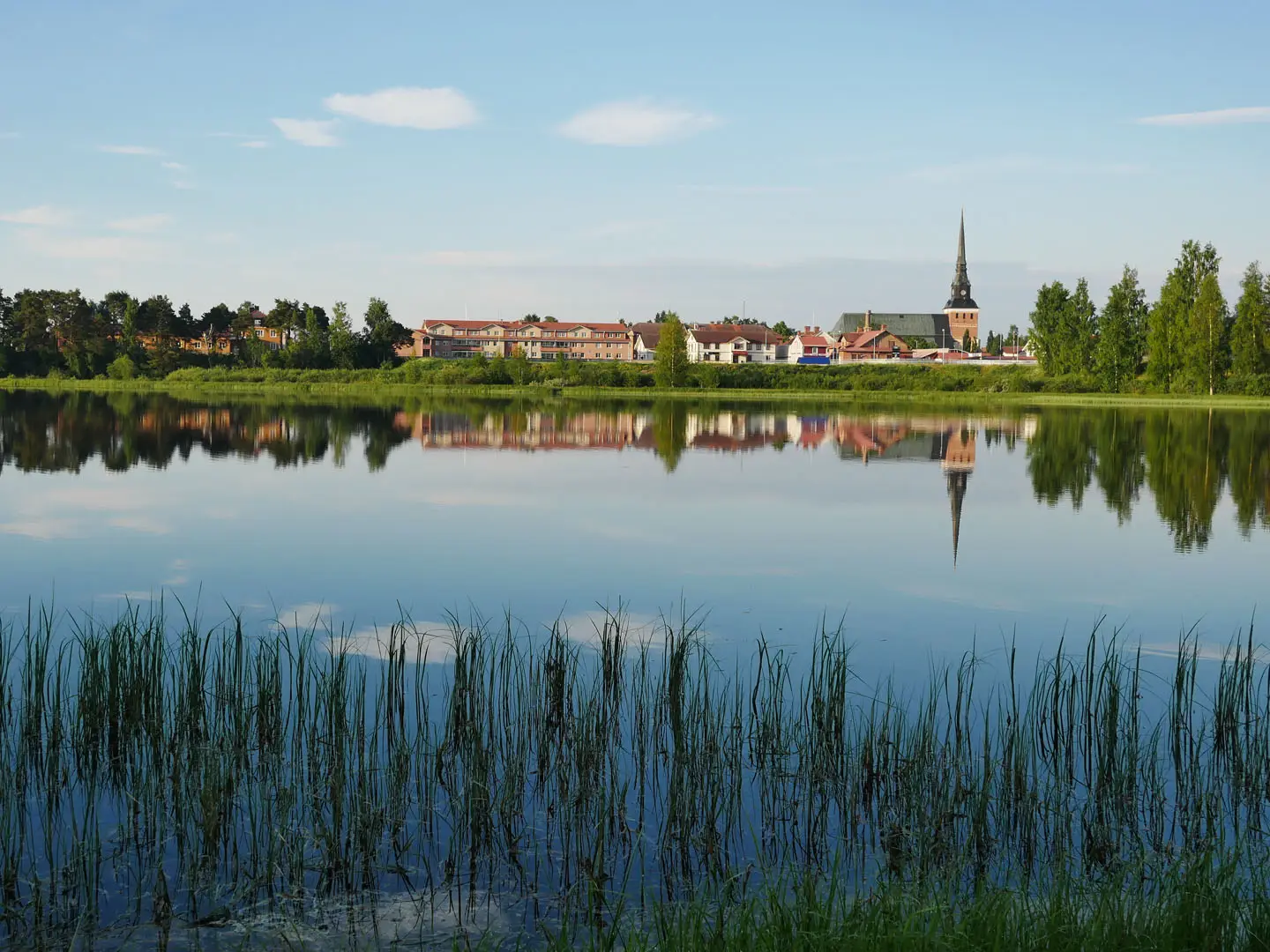
- Mora finish on Vasagatan: The walk ends at the Vasaloppet finish in Mora, a lakeside town with Vasaloppsmuseet, the museum dedicated to the race and local history.
- Honour-system cabins and shelters: Nine simple year-round cabins and a series of lean-tos make this an unusually practical hut-to-hut forest walk. Cabins are first-come, self-service and cost SEK 100 per bed per night.
Challenges to expect
The walking is not technically hard, but 90 km still requires multi-day fitness and food planning. The opening climb out of Salen is the only sustained ascent; after that the challenge is steady mileage on forest tracks, singletrack, boardwalks and short asphalt sections. Mosquitoes and midges can be heavy in high summer, especially around bogs and forest. Cabins are not bookable, so carry a backup camping option.
HikeList Score
Vasaloppsleden (Vasalopp Trail) scored 81/100 on HikeList's trail-quality metrics.
See score breakdownHide breakdown
- Ideal length 85
- Balanced challenge 100
- Scenery & wildness 71
- Varied terrain 89
- Accommodation 67
- Food & support 72
- Path quality 84
- Season flexibility 89
Computed from length, challenge, scenery & wildness, terrain variety, accommodation, food & support, path quality and season flexibility.
 Sweden
Show more data Show less
- Forest
- Bog
- Lowland
- Dirt
- Gravel
- Boardwalk
- Paved
- Huts
- Shelters
- Wild Camping Spots
- Family Friendly
- Pet Friendly
- Restrooms
- Water Sources
- Campsites
- Shelters
Photos from hikers
Taken on the trail by people who've reviewed Vasaloppsleden (Vasalopp Trail).
Reviews
How would you rate Vasaloppsleden (Vasalopp Trail)?
Tap a star to start your review — you could be the first.