Towy Valley Walk
How would you rate Towy Valley Walk?
Tap a star to share your experience and help other hikers.
Towy Valley Walk: Easy Tywi Valley Path Guide
HikeList Score
Towy Valley Walk scored 75/100 on HikeList's trail-quality metrics.
See score breakdownHide breakdown
- Ideal length 55
- Balanced challenge 64
- Scenery & wildness 90
- Varied terrain 87
- Accommodation 91
- Food & support 88
- Path quality 37
- Season flexibility 63
Computed from length, challenge, scenery & wildness, terrain variety, accommodation, food & support, path quality and season flexibility.
The Towy Valley Walk is the Tywi Valley Path, a 21 km traffic-free walking and cycling route in Carmarthenshire, Wales. It runs between Carmarthen and Ffairfach on the edge of Llandeilo, following a former railway line beside the Rivers Tywi and Cothi. This is an easy, level, fully tarmacked point-to-point trail, suitable for families, wheelchairs, mobility scooters and relaxed day walkers. Most walkers complete it as a half-day to full-day outing.
Route Overview
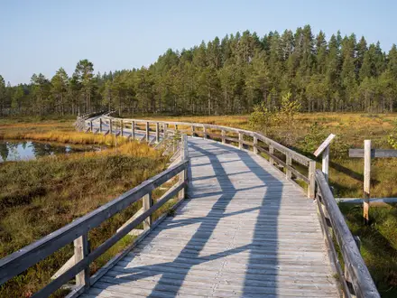
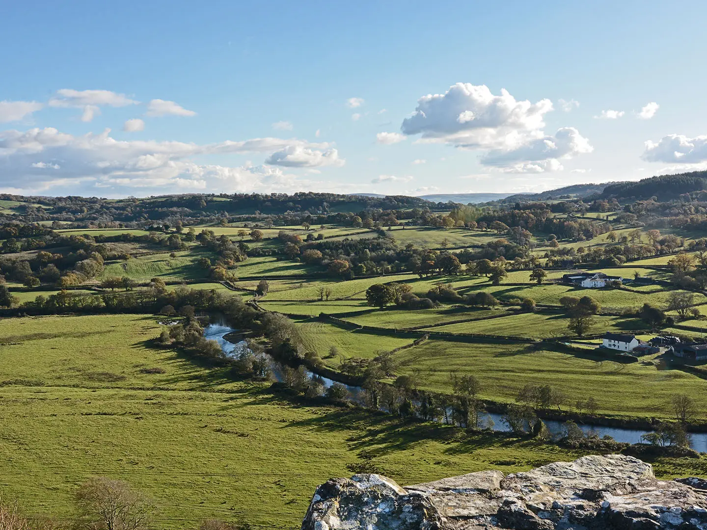
The route is usually described west to east from Carmarthen, near Carmarthen Museum at Abergwili, to Ffairfach by Llandeilo, though it works in either direction. It follows the lowland Tywi Valley floor through pasture, woodland, wetland and riverside sections, using bridges and boardwalks where needed to protect sensitive habitats. Both Carmarthen and Llandeilo have railway stations on links including the Heart of Wales Line, making a one-way “ride and ramble” practical. For a tougher Welsh upland trail, compare the Beacons Way; for a coastal multi-day option, see the Anglesey Coastal Path.
Railway Heritage and Tywi Valley History
The path reuses the trackbed of a railway through the Tywi Valley that closed in 1963 during the Beeching era, turning a former transport corridor into a level green route. The wider valley has deep Welsh history: Dryslwyn and Dinefwr were medieval strongholds linked with the princes of Deheubarth, while Carmarthen, or Caerfyrddin, has Roman origins and is one of the oldest towns in Wales. The modern path was built with UK Government funding and fully opened in May 2026.
Notable highlights
- National Botanic Garden of Wales: A major botanic garden near Llanarthne, home to the Great Glasshouse. It is one of the main visitor attractions close to the path.
- Dryslwyn Castle: A ruined native Welsh castle on a steep isolated hill above the Tywi. It gives hikers a clear historical landmark and wide valley views.
- Paxton’s Tower: A Gothic-style folly, also known as Nelson’s Tower, set on a hilltop overlooking the valley. It is a prominent landmark visible from much of the route.
- Dinefwr / Newton House: A National Trust estate near Llandeilo with a 17th-century mansion, medieval Dinefwr Castle and a deer park. It is one of the key historic landscapes near the eastern end.
- Aberglasney Gardens: A historic garden near Llangathen, known for its restored cloister garden and yew tunnel. It makes a worthwhile add-on close to the path.
- Merlin’s Hill (Bryn Myrddin): A wooded hill near Abergwili linked in legend to Merlin. It is also an Iron Age hillfort site overlooking Carmarthen.
Challenges to expect
This is an easy route, but it is not a remote footpath: expect a shared-use tarmac surface with cyclists, e-bikes, families and mobility scooters. The path is largely level, so the main planning issue is point-to-point logistics between Carmarthen and Llandeilo/Ffairfach. Weather can still matter in the open valley, and wet boardwalks or bridges may need care. For a short waterfall walk instead, see the Aber Falls Walk.
HikeList Score
Towy Valley Walk scored 75/100 on HikeList's trail-quality metrics.
See score breakdownHide breakdown
- Ideal length 55
- Balanced challenge 64
- Scenery & wildness 90
- Varied terrain 87
- Accommodation 91
- Food & support 88
- Path quality 37
- Season flexibility 63
Computed from length, challenge, scenery & wildness, terrain variety, accommodation, food & support, path quality and season flexibility.
 United Kingdom
 Wales
WalesShow more data Show less
- Lowland
- River Valley
- Riverside
- Woodland
- Wetland
- Paved
- Tarmac
- Hotels
- Guesthouses
- Self Catering
- Family Friendly
- Pet Friendly
- Restrooms
- Water Sources
- Campsites
- Picnic Areas
In these collections
Photos from hikers
Taken on the trail by people who've reviewed Towy Valley Walk.
Reviews
How would you rate Towy Valley Walk?
Tap a star to start your review — you could be the first.