Þórsmörk Panorama Trail
How would you rate Þórsmörk Panorama Trail?
Tap a star to share your experience and help other hikers.
Þórsmörk Panorama Trail: Short Valahnúkur Loop
HikeList Score
Þórsmörk Panorama Trail scored 75/100 on HikeList's trail-quality metrics.
See score breakdownHide breakdown
- Ideal length 51
- Balanced challenge 100
- Scenery & wildness 85
- Varied terrain 76
- Accommodation 58
- Food & support 72
- Path quality 98
- Season flexibility 63
Computed from length, challenge, scenery & wildness, terrain variety, accommodation, food & support, path quality and season flexibility.
The Þórsmörk Panorama Trail is a waymarked day hike in Þórsmörk Nature Reserve, Iceland: about 5 km, usually 1.5–2.5 hours, with roughly 300 m of ascent. It suits hikers who want a short but serious highland walk, mixing birch woodland, boardwalks and a steep rocky climb to Valahnúkur summit. The route is easy to moderate, but access is remote: reaching Þórsmörk normally means a summer 4x4 mountain bus or a capable 4x4 for the glacial river fords.
Route Overview
Start from Húsadalur / Volcano Huts or Langidalur / Skagfjörðsskáli and follow the blue-marked Þórsmörk Panorama loop between the two hut areas. The circuit climbs out of the birch woodland to the rocky summit of Valahnúkur, then loops back through lower forest paths, with views over the Krossá valley and towards Eyjafjallajökull, Mýrdalsjökull, Tindfjöll and Markarfljót. The summit can also be done as a shorter out-and-back from Langidalur. This is not a multi-day trek, though Þórsmörk is also the southern end of the Laugavegur and the start of the Fimmvörðuháls Trail.
Þórsmörk: Thor’s Wood and a Volcanic Valley
Þórsmörk means “Thor’s Wood”, named for the Norse god Thor. The sheltered, mountain-ringed valley was valued as natural shelter for people and livestock, and is now a protected nature reserve and major hiking base. Its landscape is shaped by Eyjafjallajökull and Katla volcanism, including the 2010 Eyjafjallajökull eruption, which covered Þórsmörk in ash and altered local river channels.
Notable highlights
- Valahnúkur summit (458 m): The high point of the loop and the main reason to walk it. An orientation table helps identify the Krossá valley, Eyjafjallajökull, Mýrdalsjökull, Tindfjöll, Merkurrani and Markarfljót.
- Sönghellir, the “singing cave”: A moss-lined hollow known for its acoustics. Reaching it involves clambering over a few rocks, making it a small but memorable detour.
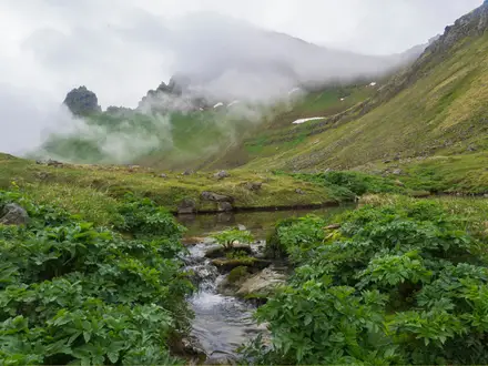
- Þórsmörk birch woodland: The lower trail winds through sheltered native birch forest, unusually lush for Iceland because of the valley’s microclimate. Log walkways cross some boggier sections.
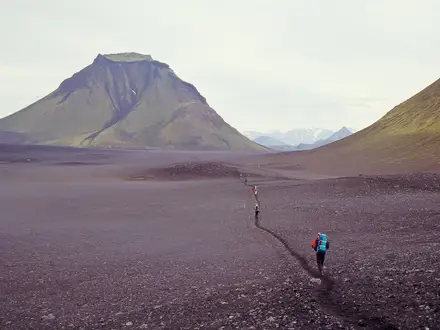
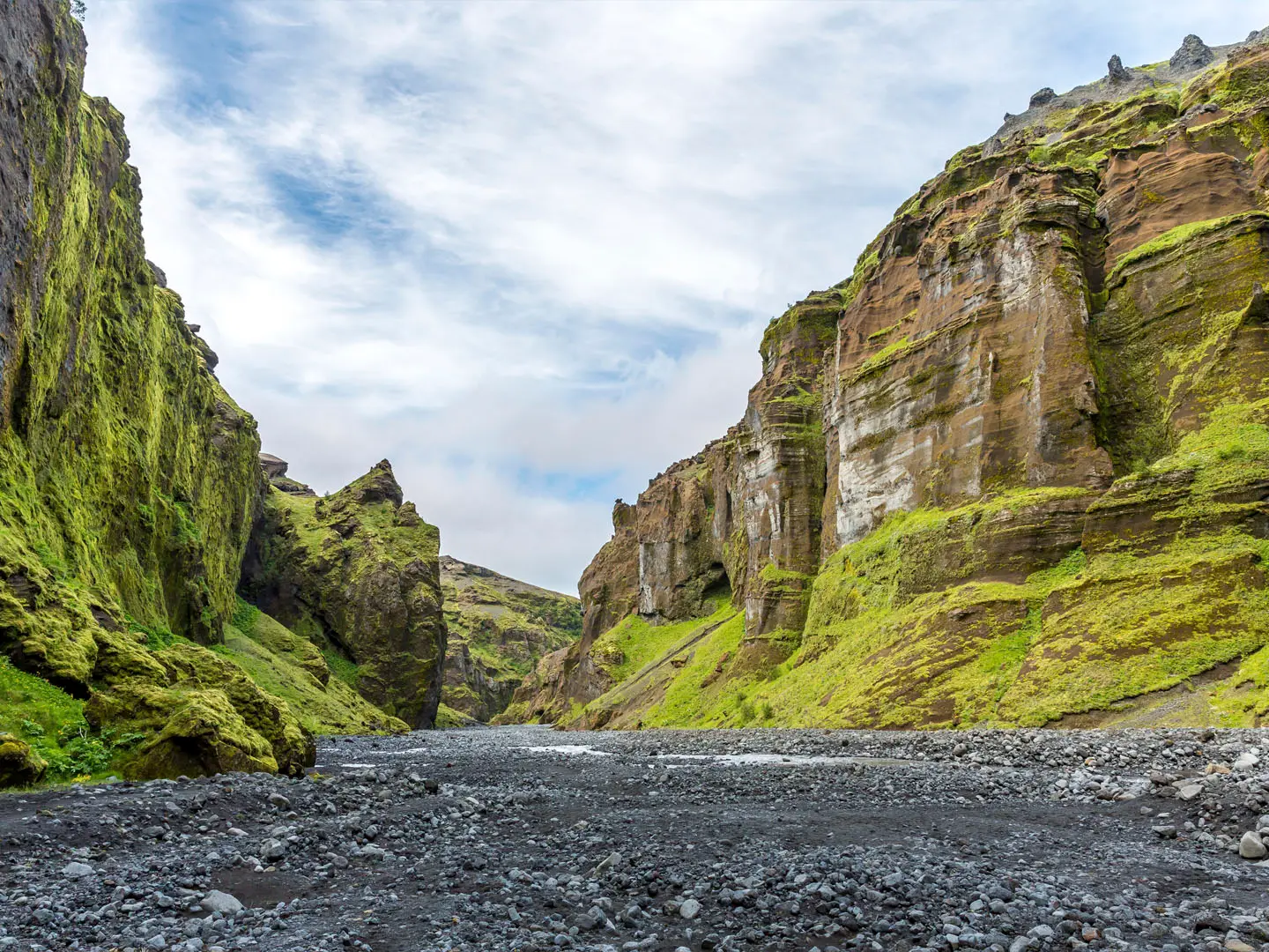
- Krossá river valley: The braided glacier-fed Krossá runs below the summit. Its shifting channels and ash-and-green surroundings define the classic Þórsmörk panorama.
- Eyjafjallajökull backdrop: Þórsmörk sits below Eyjafjallajökull, the glacier volcano associated with the 2010 eruption. The glacier and its outwash form part of the view from Valahnúkur.
Challenges to expect
The walking is short, but the setting is remote. Expect dirt forest paths, boardwalks and a short steep rocky scramble to Valahnúkur. Weather can make the exposed summit feel more serious than the distance suggests. The main logistical challenge is access: F249 and the Krossá ford are summer-only 4x4 terrain, so many hikers use the mountain bus. If you are gathering shorter Icelandic day hikes, it pairs well with the Glymur Waterfall Trail near Reykjavík or the Hverfjall Crater Loop in the north.
HikeList Score
Þórsmörk Panorama Trail scored 75/100 on HikeList's trail-quality metrics.
See score breakdownHide breakdown
- Ideal length 51
- Balanced challenge 100
- Scenery & wildness 85
- Varied terrain 76
- Accommodation 58
- Food & support 72
- Path quality 98
- Season flexibility 63
Computed from length, challenge, scenery & wildness, terrain variety, accommodation, food & support, path quality and season flexibility.
 Iceland
Show more data Show less
- Forest
- Mountainous
- River Valley
- Dirt
- Rocky
- Huts
- Campsites
- Family Friendly
- Restrooms
- Water Sources
- Campsites
- Shelters
Photos from hikers
Taken on the trail by people who've reviewed Þórsmörk Panorama Trail.
Reviews
How would you rate Þórsmörk Panorama Trail?
Tap a star to start your review — you could be the first.