The Old Man of Coniston Circuit
How would you rate The Old Man of Coniston Circuit?
Tap a star to share your experience and help other hikers.
The Old Man of Coniston Circuit: a classic Coniston fell walk
HikeList Score
The Old Man of Coniston Circuit scored 80/100 on HikeList's trail-quality metrics.
See score breakdownHide breakdown
- Ideal length 55
- Balanced challenge 80
- Scenery & wildness 98
- Varied terrain 59
- Accommodation 92
- Food & support 81
- Path quality 98
- Season flexibility 89
Computed from length, challenge, scenery & wildness, terrain variety, accommodation, food & support, path quality and season flexibility.
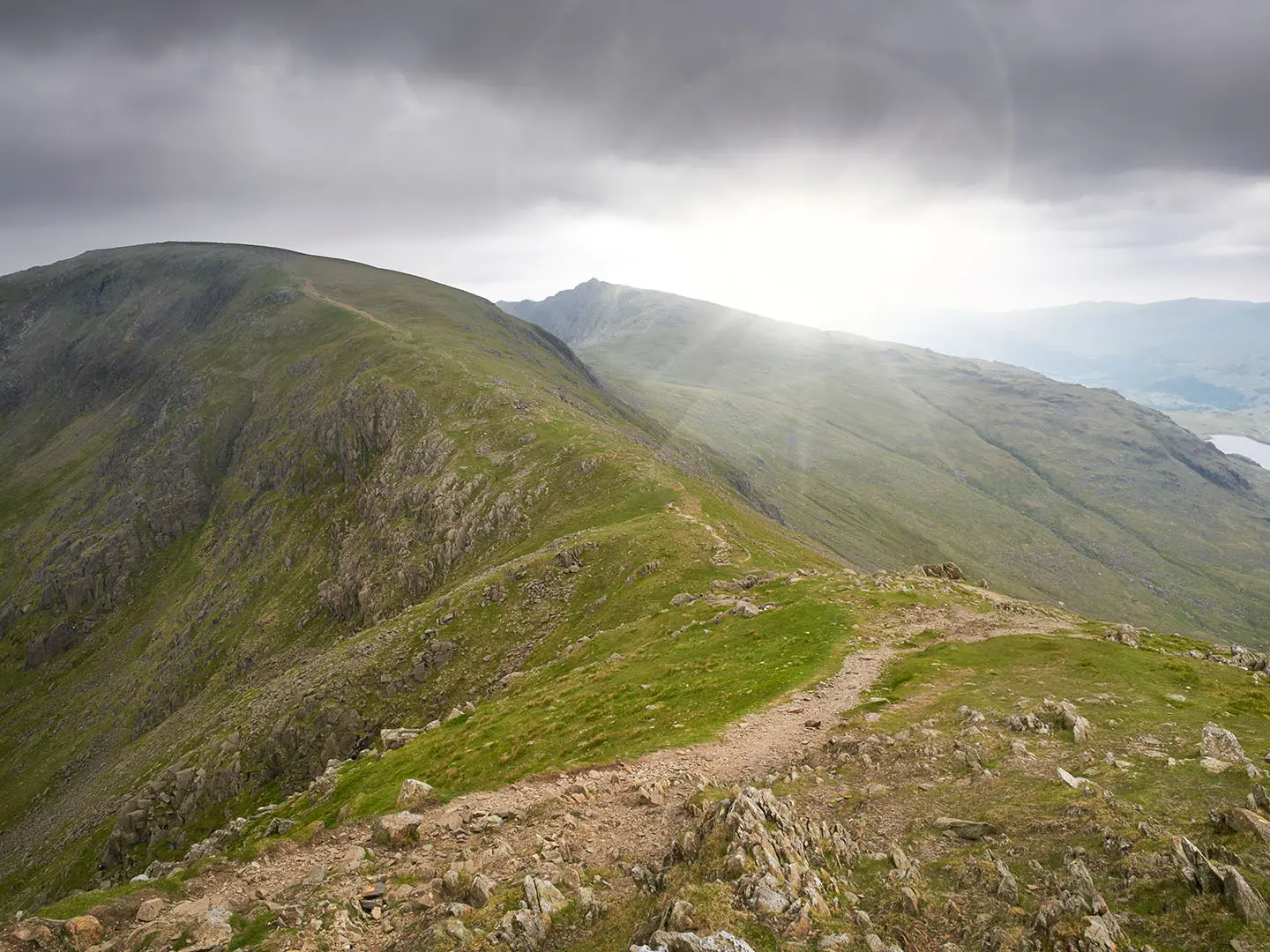
The Old Man of Coniston Circuit is a hard 12 km one-day loop in the southern Lake District, Cumbria, England. Starting and finishing in Coniston village, it climbs the Old Man of Coniston at 803 m, then usually continues over Brim Fell and Swirl How before descending past Levers Water. Expect about 900 m of ascent, steep rocky paths, exposed ridge walking and fast-changing mountain weather. It suits fit hillwalkers with navigation skills, not casual low-level walkers.
Route Overview
The route is a circular fell walk from Coniston village, commonly using the Old Station or Walna Scar Road area as the start. Many walkers head into Coppermines Valley, climb past mine workings and Low Water, then reach the Old Man of Coniston summit. The fuller ridge circuit continues over Brim Fell to Swirl How, drops towards Levers Hawse and descends by Levers Water and the Miners' Track back to Coniston. Parking charges apply at Old Station and Walna Scar car parks; starting at Walna Scar shortens the climb. For other UK mountain routes, compare the Beinn Eighe Mountain Trail or the longer Beacons Way.
Mining, slate and Lakeland history
The Old Man of Coniston is a Furness Fells mountain formed from Ordovician Borrowdale Volcanic Group rock. Its slopes carry a long industrial history: slate quarrying dates back to the 12th-13th centuries and was established by the 1500s, while copper, slate and some cobalt and nickel mining continued for around 800 years, peaking in the 19th century. The mine ruins, spoil heaps and old tracks are part of the walk. The fell is also the county top of historic Lancashire and a popular Wainwright summit.
Notable highlights
- Old Man of Coniston summit (803 m): The high point of the walk, marked by a large slate cairn and platform. In clear weather it gives wide views over Coniston Water towards Morecambe Bay, with longer views possible to the Isle of Man and Scottish hills.
- Coppermines Valley: A worked industrial landscape of mine ruins, spoil heaps and old tramways. It gives the approach a different feel from a purely wild fell walk.
- Low Water: A corrie tarn directly below the summit crags on the standard ascent. Its position beneath the rocky upper fell makes it one of the most memorable points on the climb.
- Brim Fell to Swirl How ridge: A high-level ridge section linking two Wainwright summits. This is the reason to choose the full circuit rather than a shorter out-and-back.
- Levers Water: A mountain tarn in a steep-sided bowl below Swirl How. It is a strong visual landmark on the descent back towards Coniston.
- Swallows and Amazons link: The fell inspired “Kanchenjunga” in Arthur Ransome’s Swallows and Amazons books, which are closely associated with Coniston Water.
Challenges to expect
This is a short but serious mountain walk: steep ascent, rocky and eroded paths, loose scree, exposed tops and a high ridge where poor visibility can make navigation difficult. Weather can change quickly, and winter conditions may require ice axe and crampons. There are no huts or resupply points on the route, so carry food, water and full hill kit. For a gentler waterfall walk, see the Aber Falls Walk; for a longer island route, see the Arran Coastal Way.
HikeList Score
The Old Man of Coniston Circuit scored 80/100 on HikeList's trail-quality metrics.
See score breakdownHide breakdown
- Ideal length 55
- Balanced challenge 80
- Scenery & wildness 98
- Varied terrain 59
- Accommodation 92
- Food & support 81
- Path quality 98
- Season flexibility 89
Computed from length, challenge, scenery & wildness, terrain variety, accommodation, food & support, path quality and season flexibility.
 United Kingdom
 England
Show more data Show less
- Mountainous
- Rocky
- Dirt
- Gravel
- Hotels
- Campsites
- Hostels
- Wild Camping Spots
- Family Friendly
- Pet Friendly
- Restrooms
- Water Sources
- Campsites
In these collections
Photos from hikers
Taken on the trail by people who've reviewed The Old Man of Coniston Circuit.
Reviews
How would you rate The Old Man of Coniston Circuit?
Tap a star to start your review — you could be the first.