Silistar to Sinemorets Coastal Trail
How would you rate Silistar to Sinemorets Coastal Trail?
Tap a star to share your experience and help other hikers.
Silistar to Sinemorets Coastal Trail: Black Sea Cliff Walk
HikeList Score
Silistar to Sinemorets Coastal Trail scored 80/100 on HikeList's trail-quality metrics.
See score breakdownHide breakdown
- Ideal length 55
- Balanced challenge 100
- Scenery & wildness 98
- Varied terrain 64
- Accommodation 83
- Food & support 61
- Path quality 98
- Season flexibility 89
Computed from length, challenge, scenery & wildness, terrain variety, accommodation, food & support, path quality and season flexibility.
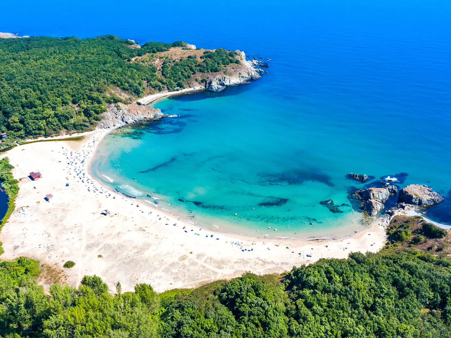
The Silistar to Sinemorets Coastal Trail is a 7 km point-to-point day walk on Bulgaria’s far-southern Black Sea coast, inside Strandzha Nature Park. Usually walked between Sinemorets and Silistar Beach, it takes about 2 hours of walking and fits easily into a half day. The grade is moderate: the opening beach section is simple, but later the path becomes narrow, rocky and exposed above the sea. It suits confident walkers who want wild coves, cliffs and undeveloped coast rather than a long-distance trek.
Route Overview
The classic line runs between Sinemorets, from the southern end of Butamyata Beach, and Silistar Beach, near the Silistar River mouth. Although the listing title reads Silistar to Sinemorets, the route is commonly described south-to-north from Sinemorets to Silistar, and can be walked in either direction. Key places on the coast include Lipite Beach, Listi Beach, Sisyphus Rock, Seal Cave and the Split Rock, before the final approach to Silistar. It is a point-to-point coastal path, not a formal loop; plan your return or pickup before setting off. For another Bulgarian Black Sea walk, compare Beglik Tash to Primorsko; inland alternatives include the Cherven Eco-Trail.
Pirates, seals and volcanic cliffs
Listi Beach takes its name from the Greek listis, meaning robber, and the bays around Listi and Silistar are associated with late-medieval “Lazi” pirates who are said to have used this coast as shelter. Seal Cave was historically home to monk seals. The wider Strandzha region has long been inhabited and is rich in folklore, while the cliffs on this walk are volcanic in origin, formed from rock linked to the long-extinct Goliama Papia volcano.
Notable highlights
- Butamyata Beach & Veleka River mouth: The walk starts at Sinemorets’s Butamyata Beach. Just north of the village, the Veleka River meets the Black Sea in a sandbar-and-lagoon landscape known for birdlife.
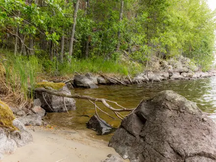
- Lipite Beach: Reached after about 20 minutes on the easier opening section, Lipite is a quiet, forest-backed cove and a good swim stop before the rougher cliff path begins.
- Listi Beach (about 500 m long): A secluded beach around the middle of the route, linked in local tradition with the “Lazi/listis” pirates. Its remoteness is part of the appeal.
- Volcanic rock formations: Sisyphus Rock, Seal Cave and the Split Rock break up the cliffline. They are part of the volcanic coastal geology associated with the extinct Goliama Papia volcano.
- Protected Area Silistar: The whole stretch lies within Strandzha Nature Park and the Natura 2000 network, helping keep this coast undeveloped and important for wetland and coastal habitats.
- Silistar Beach (about 550 m long): The endpoint is the southernmost large beach on the Bulgarian coast, with clear water, rocky capes, dunes and protected sea daffodils.
Challenges to expect
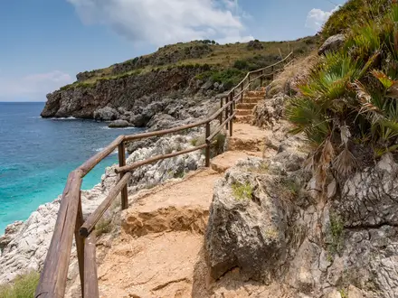
Do not treat this as an easy beach stroll. Beyond Lipite Beach the route has repeated ascents and descents, rocky ground and narrow clifftop goat paths, in places around 20 cm wide above the sea. There are no formal trail markings, so carry a GPS or offline map. Shade is limited on exposed sections, summer heat can be strong, ticks are a risk in spring and summer, and there are no huts on the route. For a different short Bulgarian hike, see the Belogradchik Rocks Trail.
HikeList Score
Silistar to Sinemorets Coastal Trail scored 80/100 on HikeList's trail-quality metrics.
See score breakdownHide breakdown
- Ideal length 55
- Balanced challenge 100
- Scenery & wildness 98
- Varied terrain 64
- Accommodation 83
- Food & support 61
- Path quality 98
- Season flexibility 89
Computed from length, challenge, scenery & wildness, terrain variety, accommodation, food & support, path quality and season flexibility.
 Bulgaria
Show more data Show less
- Coastal
- Forest
- Dirt
- Rocky
- Hotels
- Guesthouses
- Wild Camping Spots
- Family Friendly
- Pet Friendly
- Campsites
Photos from hikers
Taken on the trail by people who've reviewed Silistar to Sinemorets Coastal Trail.
Reviews
How would you rate Silistar to Sinemorets Coastal Trail?
Tap a star to start your review — you could be the first.