Sierra de Espuña Circular
How would you rate Sierra de Espuña Circular?
Tap a star to share your experience and help other hikers.
Sierra de Espuña Circular: El Berro Day Loop
HikeList Score
Sierra de Espuña Circular scored 80/100 on HikeList's trail-quality metrics.
See score breakdownHide breakdown
- Ideal length 55
- Balanced challenge 100
- Scenery & wildness 98
- Varied terrain 64
- Accommodation 66
- Food & support 81
- Path quality 98
- Season flexibility 76
Computed from length, challenge, scenery & wildness, terrain variety, accommodation, food & support, path quality and season flexibility.
The Sierra de Espuña Circular is a moderate, waymarked day walk from El Berro in Parque Regional de Sierra Espuña, Murcia, south-east Spain. Treat this as the longer El Berro circuit: about 18 km, 4.5–6 hours, with roughly 525 m of ascent. It suits hikers wanting a full but manageable forest-and-badlands loop on PR and GR trails, not a high-summit route. The shorter PR-MU 79 alone is around 10.5 km.
Route Overview
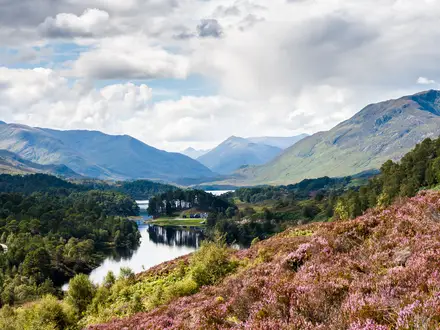
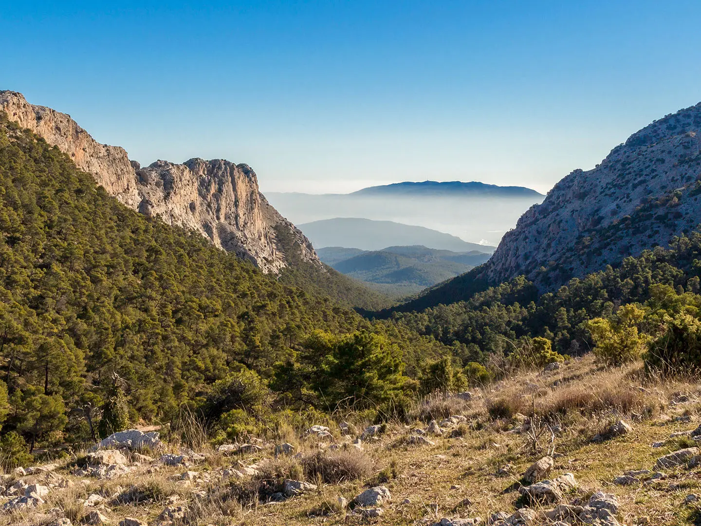
The loop starts and finishes at the public car park beside Camping Sierra Espuña and the village park in El Berro, the park’s north-eastern trailhead. The fuller circuit links PR-MU 79 with PR-MU 69 and GR-MU 252, using white-yellow PR and white-red GR waymarks. It runs through pine forest and old forest roads near La Perdiz, Casa de Leiva and the Leiva walls, then follows woodland and ridge paths such as the Senda de la Aguica and Lomo sections. Expect views towards Barranco de Gebas and Barranco de las Brujas, while the route stays below the higher summits.
Sierra Espuña’s Reforestation Story
Sierra Espuña became a natural site of national interest in 1931 and a Regional Park in 1992, protecting land across Alhama de Murcia, Totana and Mula. Its defining history is ecological recovery: by the late 19th century the range had lost much of its tree cover and was close to desertification. Forest engineer Ricardo Codorniu Stararico began major reforestation work from 1889, creating the pine-covered landscape hikers see today. The El Berro loop is a modern recreational circuit, not a historic long-distance trail.
Notable highlights
- Barranco de Gebas badlands: The loop gives distant views over eroded clay ravines and gullies known as the Murcian badlands, a sharp contrast to the pine forest of Sierra Espuña.
- Ricardo Codorniu pine forests: Much of the walk passes through Aleppo and Mediterranean pine woodland linked to the large-scale reforestation led by Ricardo Codorniu.
- Casa de Leiva and the Leiva walls: These historic forestry features sit in the Leiva area and reflect the terracing and stabilisation work carried out on the hillsides.
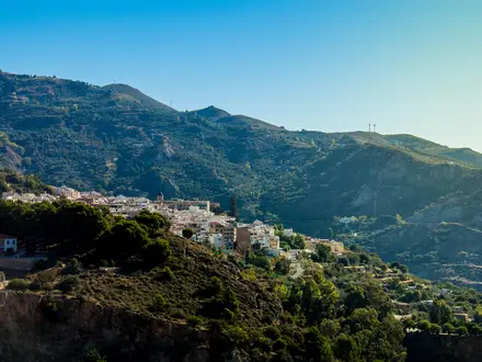
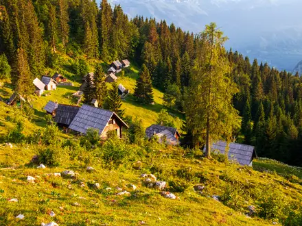
- El Berro village: A small serrana village at about 600 m, El Berro is the start/finish point and has a campsite, rural accommodation and places to eat.
- Morrón de Alhama backdrop: The loop skirts the lower slopes below Morrón de Alhama, one of the limestone summits that frames the northern part of the walk.
Challenges to expect
This is moderate rather than hard: the main effort is the 18 km distance and about 525 m of ascent. Surfaces are mostly good forest tracks and narrow woodland paths, with some rocky or stony sections and short asphalt/forest-road stretches. Waymarking is generally clear, but take care at junctions and open sections. Spring and autumn are best; high summer in Murcia can be very hot, especially near exposed badlands.
HikeList Score
Sierra de Espuña Circular scored 80/100 on HikeList's trail-quality metrics.
See score breakdownHide breakdown
- Ideal length 55
- Balanced challenge 100
- Scenery & wildness 98
- Varied terrain 64
- Accommodation 66
- Food & support 81
- Path quality 98
- Season flexibility 76
Computed from length, challenge, scenery & wildness, terrain variety, accommodation, food & support, path quality and season flexibility.
Show more data Show less
- Mountainous
- Forest
- Dirt
- Rocky
- Hotels
- Campsites
- Pet Friendly
- Water Sources
- Campsites
- Picnic Areas
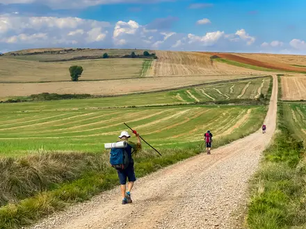
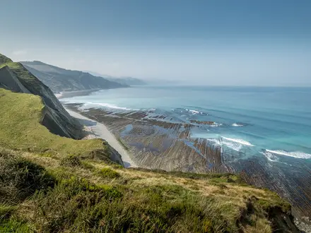
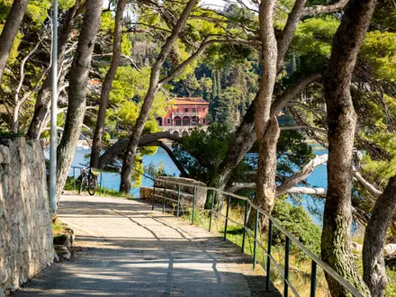
Photos from hikers
Taken on the trail by people who've reviewed Sierra de Espuña Circular.
Reviews
How would you rate Sierra de Espuña Circular?
Tap a star to start your review — you could be the first.