South Tyne Trail
How would you rate South Tyne Trail?
Tap a star to share your experience and help other hikers.
South Tyne Trail: North Pennines River and Railway Walk
HikeList Score
South Tyne Trail scored 82/100 on HikeList's trail-quality metrics.
See score breakdownHide breakdown
- Ideal length 63
- Balanced challenge 100
- Scenery & wildness 85
- Varied terrain 83
- Accommodation 75
- Food & support 88
- Path quality 80
- Season flexibility 89
Computed from length, challenge, scenery & wildness, terrain variety, accommodation, food & support, path quality and season flexibility.
The South Tyne Trail is a 36.5 km point-to-point walking and cycling route in the North Pennines, northern England, from the River South Tyne’s moorland source near Tynehead and Garrigill to Haltwhistle. It is usually walked over 2 days and is rated moderate: mostly gentle former railway trackbed, but with an exposed upland start. It suits hikers wanting a short long-distance trail with river-valley walking, industrial heritage, easy gradients and useful transport at Haltwhistle.
Route Overview
Walk it north, downstream, from the source on the Tynehead moors, through Garrigill to Alston, then on via Kirkhaugh, Slaggyford, Knarsdale, Lambley, Featherstone and Rowfoot to Haltwhistle. The first section to Alston is about 15.5 km; the second to Haltwhistle is about 21 km. Much of the northern two-thirds uses the disused Alston-Haltwhistle railway, giving steady grades on gravel, grass and some tarmac. Haltwhistle has a rail station and good onward links, making the point-to-point logistics straightforward. For broader UK trail comparisons, see the river-valley Annandale Way or hillier Beacons Way.
Railway and Lead-Mining History
The northern two-thirds of the South Tyne Trail follow the former Alston-Haltwhistle branch line, built by the Newcastle & Carlisle Railway and opened on 17 November 1852 to carry coal and lead from the Alston Moor mines. The line closed in 1976. The wider valley was a major lead-mining district for centuries, and mine levels, smelt-mill flues, spoil heaps and metal-tolerant flora remain part of the landscape. Before the railway, goods moved by packhorse and later by roads improved by engineer John McAdam.
Notable highlights
- Lambley Viaduct: A Grade II* listed railway viaduct from 1852, about 260 m long on nine arches and at least 33 m above the River South Tyne. It is now open to walkers and carries National Cycle Route 68, with wide valley views.
- South Tynedale Railway: A heritage 2 ft narrow-gauge railway using part of the old trackbed between Alston and Slaggyford. Steam and diesel trains make a useful paid side attraction, not a required part of the walk.
- Alston: A practical midpoint and a historic market town with steep cobbled streets, a market cross, cafes, pubs and shops. It is a natural overnight stop on the 2-day itinerary.
- Ashgill Force and Dorthgill waterfalls: Upper-valley waterfalls near the source, with Ashgill Force dropping into the South Tyne gorge. The area is known for limestone-loving wildflowers in spring and early summer.
- Source on the high Pennines: The start lies on wild moorland near Cross Fell, though the trail does not climb the summit. Expect a remote feel, upland birds and more exposed weather than in the valley.
- Lead-mining remains and SSSIs: Old mine levels, Great Sulphur Vein workings and spoil landscapes show the valley’s industrial past. The metal-rich ground also supports specialist plants.
Challenges to expect
The gradients are generally mild, especially on the old railway, but the upper source section is open moorland and can feel remote in poor weather. Expect rain, wind, mud after wet spells and boggier ground near the source. The Alston-Slaggyford section is better surfaced and easier-going. Resupply is most practical in Alston and Haltwhistle, with smaller options in the valley settlements.
HikeList Score
South Tyne Trail scored 82/100 on HikeList's trail-quality metrics.
See score breakdownHide breakdown
- Ideal length 63
- Balanced challenge 100
- Scenery & wildness 85
- Varied terrain 83
- Accommodation 75
- Food & support 88
- Path quality 80
- Season flexibility 89
Computed from length, challenge, scenery & wildness, terrain variety, accommodation, food & support, path quality and season flexibility.
 United Kingdom
 England
Show more data Show less
- Moorland
- River Valley
- Pastoral
- Gravel
- Dirt
- Paved
- Hotels
- Campsites
- Huts
- Family Friendly
- Pet Friendly
- Restrooms
- Water Sources
- Campsites
- Picnic Areas
Photos from hikers
Taken on the trail by people who've reviewed South Tyne Trail.
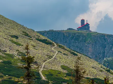
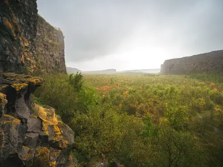
Start on the high moorland near the source of the River South Tyne, then follow the upper valley via Garrigill to Alston. This is the wilder day, with exposed moorland conditions before the route reaches the market town.
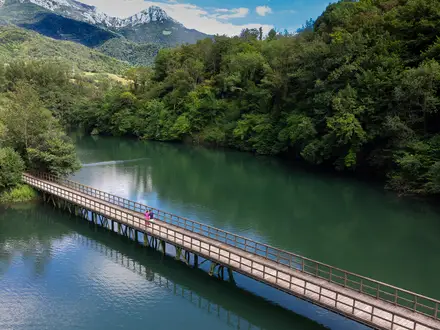
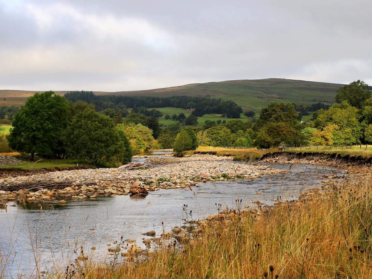
Continue downstream through Kirkhaugh, Slaggyford, Knarsdale, Lambley, Featherstone and Rowfoot to Haltwhistle. This section largely follows the disused Alston-Haltwhistle railway, including the Lambley Viaduct, with gentle gradients and straightforward onward transport at Haltwhistle.
Reviews
How would you rate South Tyne Trail?
Tap a star to start your review — you could be the first.