Scheldt River Trail
How would you rate Scheldt River Trail?
Tap a star to share your experience and help other hikers.
Scheldt River Trail: Easy Walking Through the Scheldt Valley
HikeList Score
Scheldt River Trail scored 68/100 on HikeList's trail-quality metrics.
See score breakdownHide breakdown
- Ideal length 59
- Balanced challenge 50
- Scenery & wildness 59
- Varied terrain 71
- Accommodation 83
- Food & support 88
- Path quality 80
- Season flexibility 89
Computed from length, challenge, scenery & wildness, terrain variety, accommodation, food & support, path quality and season flexibility.
The Scheldt River Trail is best understood as flexible riverside walking, not a single official waymarked trail. In East Flanders, Belgium, a practical Ghent to Dendermonde walk is about 40 km, taking 1–2 days on easy, flat towpaths, dykes and wetland paths. It suits walkers wanting low-effort distance, birdlife, historic towns and public-transport-friendly stages through the Nationaal Park Scheldevallei, the Scheldt Valley National Park between Ghent and Antwerp.
Route Overview
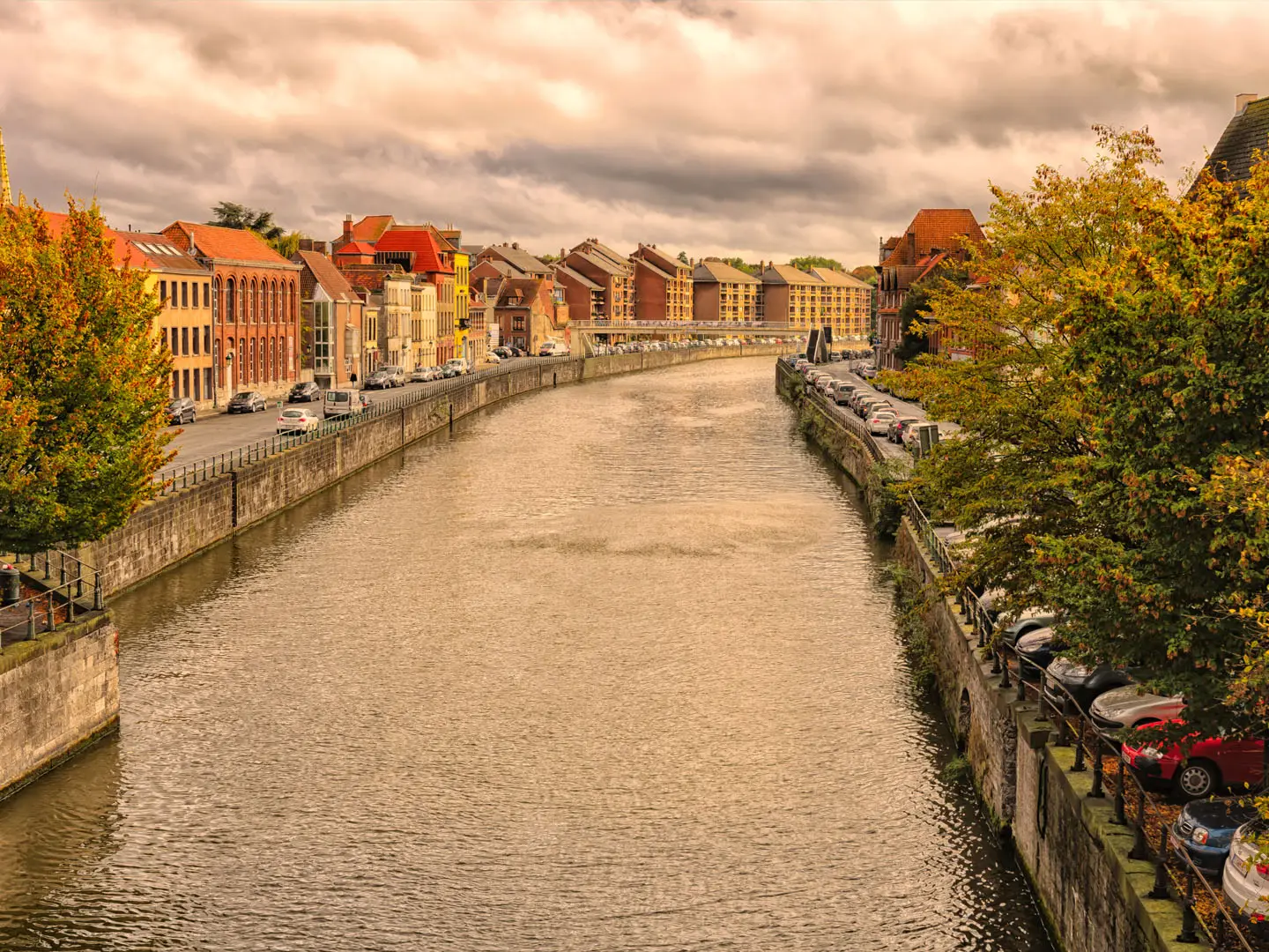
A common linear version starts in Ghent and follows the lower, tidal Sea Scheldt downstream towards Dendermonde, where the Dender meets the Scheldt. The route can pass Destelbergen, Heusden, Wetteren, Wichelen, Schellebelle, the Kalkense Meersen, Berlare and the Donkmeer before finishing in Dendermonde. Expect towpaths and junction-node walking networks rather than one continuous branded blaze; a Wandelnetwerk map, node plan or GPS track is useful. Many walkers make it a long day, a relaxed two-day inn-to-inn walk, or shorter loops. For city walking before you set out, see the Ghent City Trail; further north, the Antwerp Harbour Trail explores the Scheldt’s urban-industrial side.
History of the Scheldt Valley
The Scheldt has long been a strategic trade and military river in the Low Countries. Ghent, Dendermonde and Antwerp grew around river commerce, while control of the river and its mouth was contested for centuries between France, the Habsburg and Spanish Netherlands, and the Dutch Republic. The modern walking interest is more recent: the valley between Ghent and Antwerp was recognised as Nationaal Park Scheldevallei in 2023, with junction-node networks linking towpaths, wetlands and floodplain paths. There is no historic single “Scheldt River Trail”.
Notable highlights
Scheldt Valley National Park: Recognised in 2023, this corridor protects around 8,000 ha of floodplain, polders, marshes and river dunes along the Sea Scheldt. It is the main reason to walk here rather than treat the river as just a transport corridor.
Ghent: The walk can start in this medieval Flemish city at the confluence of the Lys and Scheldt. Gravensteen castle, St Bavo’s Cathedral and the canal-side old town make it worth time before leaving for the open river plain.
Kalkense Meersen: A roughly 950 ha river-meadow nature area around Wetteren, Wichelen and Schellebelle. Signed paths cross wet grassland, reclaimed Scheldt meanders and grazing areas with Galloway cattle.
Donkmeer, Berlare: A large Flemish lake formed from a cut-off Scheldt meander and former peat pits. It is known for birdwatching, a grey-heron colony and a historic duck decoy.
Dendermonde: The usual downstream finish sits where the Dender joins the Scheldt. Its Grote Markt, Belfry and Ros Beiaard legend give the walk a clear historic endpoint.
Sea Scheldt tidal nature: Below Ghent the river is tidal, with reed beds, mudflats and salt-marsh edges. For another easy Belgian waterside walk, compare the Bruges to Damme Canal Trail.
Challenges to expect
The walking is easy, with negligible ascent and mostly hard, level surfaces, but navigation is the main issue: this is not a single GR-style marked line like the GR 12. Use junction-node maps or GPS. Dykes can feel exposed in wind and rain, winter sections may be muddy, and urban/suburban stretches leaving Ghent and approaching Dendermonde are part of the route.
HikeList Score
Scheldt River Trail scored 68/100 on HikeList's trail-quality metrics.
See score breakdownHide breakdown
- Ideal length 59
- Balanced challenge 50
- Scenery & wildness 59
- Varied terrain 71
- Accommodation 83
- Food & support 88
- Path quality 80
- Season flexibility 89
Computed from length, challenge, scenery & wildness, terrain variety, accommodation, food & support, path quality and season flexibility.
 Belgium
Show more data Show less
- Wetlands
- Urban
- Paved
- Gravel
- Dirt
- Hotels
- Hostels
- Campsites
- Family Friendly
- Pet Friendly
- Restrooms
- Water Sources
- Campsites
- Picnic Areas
Photos from hikers
Taken on the trail by people who've reviewed Scheldt River Trail.
Reviews
How would you rate Scheldt River Trail?
Tap a star to start your review — you could be the first.