Ruta de los Puertos de Áliva
How would you rate Ruta de los Puertos de Áliva?
Tap a star to share your experience and help other hikers.
Ruta de los Puertos de Áliva: Fuente Dé Descent Guide
HikeList Score
Ruta de los Puertos de Áliva scored 80/100 on HikeList's trail-quality metrics.
See score breakdownHide breakdown
- Ideal length 55
- Balanced challenge 100
- Scenery & wildness 85
- Varied terrain 83
- Accommodation 66
- Food & support 81
- Path quality 98
- Season flexibility 89
Computed from length, challenge, scenery & wildness, terrain variety, accommodation, food & support, path quality and season flexibility.
The Ruta de los Puertos de Áliva is a 14.5 km one-day descent in Picos de Europa National Park, Cantabria, northern Spain. Officially signed as PR-PNPE 24, it starts with the Fuente Dé cable car to El Cable, then walks back down through high pasture, limestone tracks and woodland to Fuente Dé. It is moderate overall: easy underfoot and mostly downhill, but long enough to need basic mountain fitness, good visibility and a full day plan.
Route Overview
This is a point-to-point descent route: ride the Fuente Dé teleférico from the valley floor to El Cable at about 1,834 m, then walk back to Fuente Dé. From the Mirador del Cable, a short climb reaches Horcadina de Covarrobles, the high point at about 1,930 m, before the track drops across the Puertos de Áliva meadows. The route passes the Hotel Refugio de Áliva, Chalet Real and Ermita de la Virgen de las Nieves, then descends by Vega del Naranco and the slopes below Pico Valdecoro into beech and oak woodland. For a longer northern Spain trip, compare it with the coastal Camino del Norte in Cantabria or the full Camino del Norte.
Grazing, Mining and the Fuente Dé Cable Car
The Áliva “puertos” are long-established summer grazing grounds between the Central and Eastern massifs of the Picos de Europa. Later, the Real Compañía Asturiana de Minas worked zinc ore in the Áliva area and built the Chalet Real in 1912. King Alfonso XIII used the area for chamois hunting, including visits in 1905 and 1920. The Fuente Dé cable car opened in 1966, making this high-level descent one of the classic day walks of the Picos de Europa.
Notable highlights
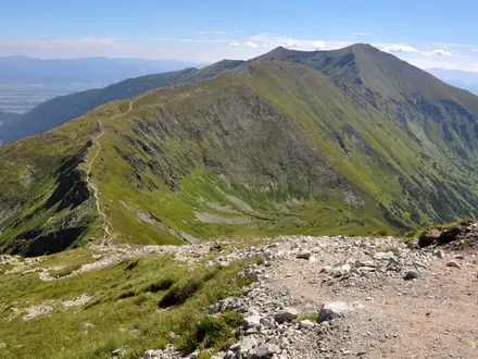
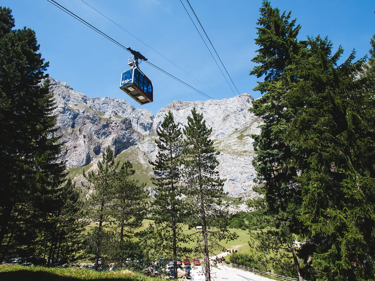
- Fuente Dé cable car and Mirador del Cable: The teleférico gains about 750 m to the El Cable station at roughly 1,834 m. The viewpoint gives immediate access to the limestone walls of the Central Massif and makes the walk almost entirely downhill.
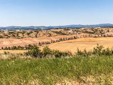
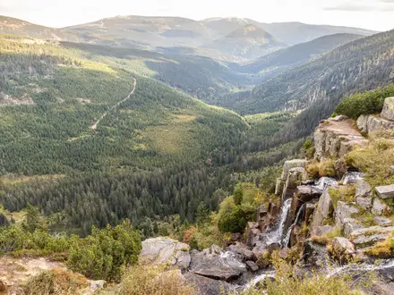
- Puertos de Áliva meadows: These broad high pastures sit between the Central and Eastern massifs. They are the open, green centre of the route and contrast sharply with the bare limestone peaks above.
- Chalet Real: This prefabricated English-style hunting lodge was built in 1912 by the Real Compañía Asturiana de Minas. It is tied to King Alfonso XIII’s use of Áliva for chamois hunting and later sheltered anti-Franco maquis guerrillas.
- Áliva zinc mines: Abandoned mine workings on the flank of Peña Vieja show the area’s industrial past. The remains are passed during the descent through the Áliva area.
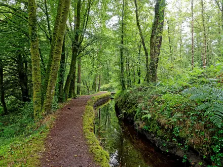
- Beech and oak woodland descent: The lower route narrows into deciduous woodland below Pico Valdecoro. It gives shade after the exposed high pastures and is especially notable in autumn.
Challenges to expect
The walking is not technical: expect wide limestone and gravel tracks, then narrower forest path, with no scrambling. The main challenges are the length, the long descent on the legs, cable-car logistics and mountain weather. Fog can roll over the high meadows at any time of year, so carry navigation and avoid starting if visibility is poor. For a hut-to-hut mountain challenge elsewhere in Spain, see Carros de Foc.
HikeList Score
Ruta de los Puertos de Áliva scored 80/100 on HikeList's trail-quality metrics.
See score breakdownHide breakdown
- Ideal length 55
- Balanced challenge 100
- Scenery & wildness 85
- Varied terrain 83
- Accommodation 66
- Food & support 81
- Path quality 98
- Season flexibility 89
Computed from length, challenge, scenery & wildness, terrain variety, accommodation, food & support, path quality and season flexibility.
 Spain
SpainShow more data Show less
- Mountainous
- Pasture
- Forest
- Limestone
- Gravel
- Dirt
- Huts
- Hotels
- Family Friendly
- Pet Friendly
- Restrooms
- Water Sources
- Shelters
Photos from hikers
Taken on the trail by people who've reviewed Ruta de los Puertos de Áliva.
Reviews
How would you rate Ruta de los Puertos de Áliva?
Tap a star to start your review — you could be the first.