Połonina Wetlińska Trail
How would you rate Połonina Wetlińska Trail?
Tap a star to share your experience and help other hikers.
Połonina Wetlińska Trail: Classic Bieszczady Ridge Hike
HikeList Score
Połonina Wetlińska Trail scored 79/100 on HikeList's trail-quality metrics.
See score breakdownHide breakdown
- Ideal length 55
- Balanced challenge 100
- Scenery & wildness 98
- Varied terrain 71
- Accommodation 67
- Food & support 59
- Path quality 98
- Season flexibility 89
Computed from length, challenge, scenery & wildness, terrain variety, accommodation, food & support, path quality and season flexibility.
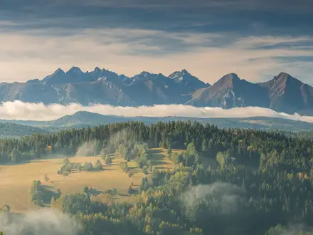
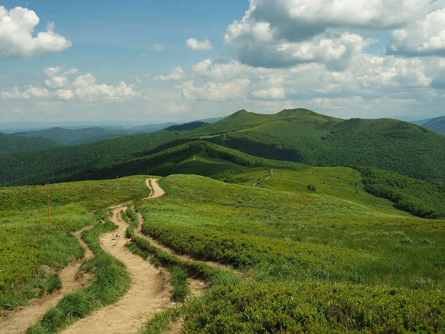
Połonina Wetlińska Trail is a 13.5 km, 1-day moderate hike onto one of the iconic open połonina ridges of the Bieszczady Mountains in south-east Poland. It sits near Wetlina and Brzegi Górne, mostly inside Bieszczady National Park, and suits hikers who want a steep forest climb followed by broad, exposed ridge walking. For wider trip planning, compare it with the Five Lakes Valley Trail, Giewont Summit Trail and Karkonosze Ridge Trail.
Route Overview
Main access points are Przełęcz Wyżna pass, Brzegi Górne and Wetlina, all off the Great Bieszczady Loop Road. The shortest approach is the yellow trail from Przełęcz Wyżna to Chatka Puchatka, about 2.5 km one way and 1–1.5 hours. From Wetlina, the yellow trail climbs from 625 m to Przełęcz Orłowicza, then the red Main Beskid Trail follows the open ridge towards Hasiakowa Skała, Chatka Puchatka and Osadzki Wierch. The route is listed as a popular out-and-back, but the common Wetlina loop via Smerek and the ridge is about 16 km. Paid car parks operate at the main trailheads.
Połoniny, Pasture and Chatka Puchatka
Połoniny are high meadows above the forest line, and Połonina Wetlińska’s open character reflects long-standing livestock grazing as well as natural treeline. Chatka Puchatka began as a post-war military border observation hut on Hasiakowa Skała. In the 1960s, Kraków scouts took it over and founded the legendary “Wetlina Republic”. The name “Chatka Puchatka” was given by round-the-world sailor Leonid Teliga in 1967. The shelter was rebuilt and reopened as a Bieszczady National Park tourist shelter in 2022.
Notable highlights
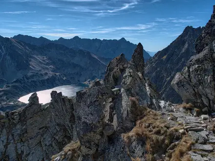
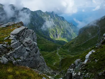
- The open połonina ridge (~8 km): Treeless alpine meadows above about 1050 m give wide panoramas across the Bieszczady. The exposure is the main appeal, but it also means little shelter from wind or sun.
- Chatka Puchatka shelter (1228 m): The highest mountain shelter in the Bieszczady stands on Hasiakowa Skała. It now functions as a basic BdPN tourist shelter with refreshment and emergency refuge rather than full overnight lodging.
- Osadzki Wierch (1253 m): This is the highest point hikers can stand on along the marked route. The true summit, Roh at 1255 m, is off-trail and not open to the public.
- Smerek (1222 m): A sharp peak at the western end of the range, often added to turn the outing into a longer Wetlina or Kalnica loop.
- Dawn and autumn light: The ridge is known for sunrise mist filling the valleys and for golden autumn grass across the open meadows.
Challenges to expect
Expect a steep, steady climb through beech forest before the ridge opens out. Above the treeline there is almost no shelter from wind, sun or sudden weather, and some sections are rocky or eroded. Winter is a much more demanding outing because of snow and severe wind. Bieszczady National Park entry tickets are required, and the ridge shelter should not be treated as full overnight accommodation.
HikeList Score
Połonina Wetlińska Trail scored 79/100 on HikeList's trail-quality metrics.
See score breakdownHide breakdown
- Ideal length 55
- Balanced challenge 100
- Scenery & wildness 98
- Varied terrain 71
- Accommodation 67
- Food & support 59
- Path quality 98
- Season flexibility 89
Computed from length, challenge, scenery & wildness, terrain variety, accommodation, food & support, path quality and season flexibility.
Show more data Show less
- Mountainous
- Forest
- Dirt
- Rocky
- Grass
- Huts
- Campsites
- Wild camping spots
- Family Friendly
- Pet Friendly
- Restrooms
- Campsites
- Shelters
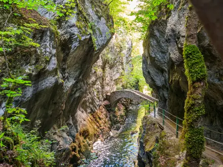
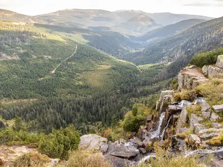
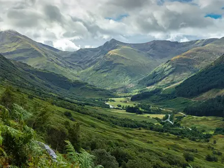
Photos from hikers
Taken on the trail by people who've reviewed Połonina Wetlińska Trail.
For the longer Wetlina option, climb the yellow trail from Wetlina to Przełęcz Orłowicza, then follow the red Main Beskid Trail along the ridge towards Hasiakowa Skała, Chatka Puchatka and Osadzki Wierch, with Smerek often added for the loop. The shortest access is from Przełęcz Wyżna to Chatka Puchatka, about 2.5 km one way.
Reviews
How would you rate Połonina Wetlińska Trail?
Tap a star to start your review — you could be the first.