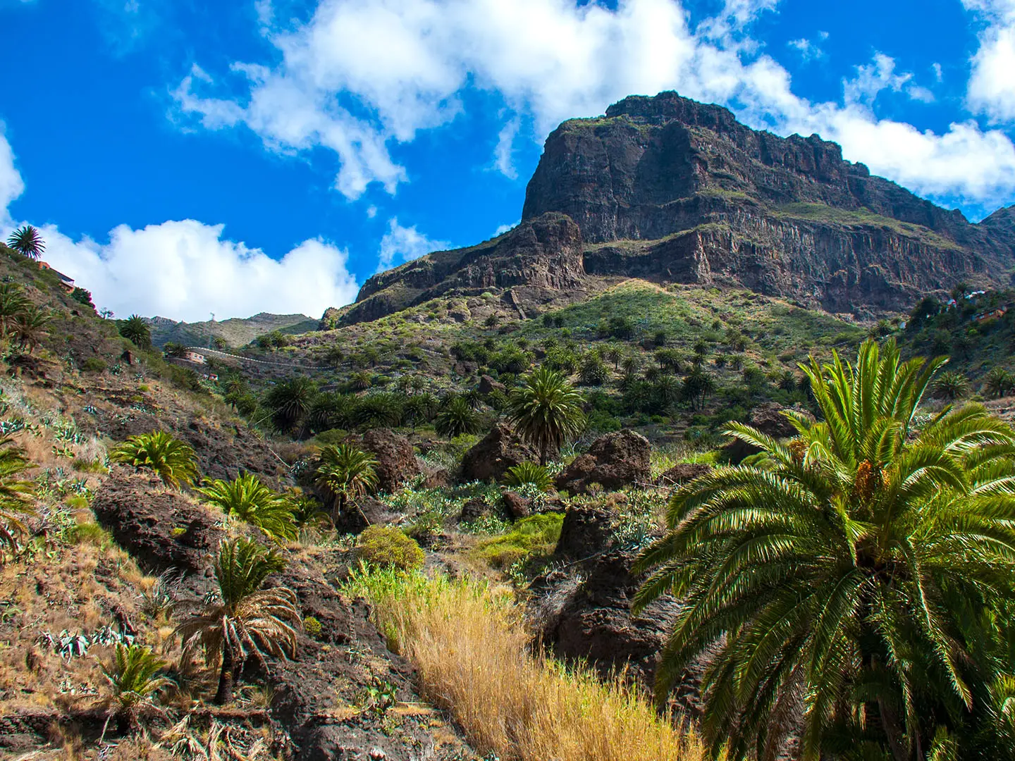
Masca Gorge Trail
How would you rate Masca Gorge Trail?
Tap a star to share your experience and help other hikers.
Masca Gorge Trail: Tenerife’s Regulated Gorge Hike
HikeList Score
Masca Gorge Trail scored 73/100 on HikeList's trail-quality metrics.
See score breakdownHide breakdown
- Ideal length 55
- Balanced challenge 74
- Scenery & wildness 98
- Varied terrain 64
- Accommodation 57
- Food & support 61
- Path quality 98
- Season flexibility 89
Computed from length, challenge, scenery & wildness, terrain variety, accommodation, food & support, path quality and season flexibility.
The Masca Gorge Trail, officially the Camino del barranco de Masca, is a regulated 5 km downhill day hike in Barranco de Masca, Teno Rural Park, north-west Tenerife, Spain. It descends from Masca village to Masca Beach and is best treated as hard: the route is rocky, sometimes slippery, and includes boulders, steps, stream crossings and short hands-on sections. It suits sure-footed hikers who want a dramatic volcanic gorge hike with fixed logistics: permit, timed entry, helmet and compulsory boat exit.
Route Overview
The walk starts at Masca village (Caserío de Masca), around 650 m in the Teno Mountains, and runs downhill only to Masca Beach, a black-sand cove at the Atlantic end of the gorge. Under the current regulated system it is a point-to-point hike: you may not walk back up with a descent ticket, and you must leave Masca Bay by boat to Los Gigantes port. Access is via Titsa bus route 355 from Santiago del Teide to the Masca Visitors’ Centre; arrive about 30 minutes before your booked slot for checks. For longer Spanish routes, compare the coastal Camí de Ronda, the Pyrenean Carros de Foc, or the Camino Francés.
Masca: Guanche refuge and lost village
Masca was one of the last Guanche refuges before the Castilian conquest of Tenerife, completed in 1496, and lay in the Menceyato of Adeje. Its remote, defensible gorge made it a natural stronghold. The hamlet later became known as a “lost village”, with no road access until the 1980s, when it could still be reached only on foot or by mule. The gorge sits in the Teno Massif, an old volcanic landscape protected since 1987 and designated as a Rural Park in 1994.
Notable highlights
- Masca village (~650 m): The whitewashed start point clings to a ridge in the Teno Mountains. Its history as a former Guanche stronghold and roadless hamlet gives the walk strong cultural context before the descent begins.
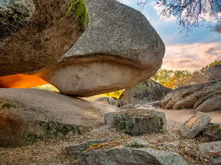
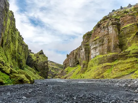
- Teno Massif basalt walls: The gorge cuts through Miocene basaltic lava in one of Tenerife’s oldest landscapes. For hikers, the main impression is the enclosed, volcanic scale of the barranco.
- Stream crossings and rock tunnel: The route repeatedly crosses the barranco’s stream bed and passes through a natural rock tunnel or narrows. After rain, this section can become a waterfall area, so conditions matter.
- Rock gate near the beach: A large natural rock “gate” marks the lower gorge before it opens towards the coast. It is a clear landmark late in the walk.
- Masca Beach: The trail ends at a secluded black-sand cove where the gorge meets the Atlantic. From here the compulsory boat transfer runs to Los Gigantes, beneath the island’s well-known cliffs.
- Endemic flora: The protected Teno landscape supports Canarian endemic plants among the volcanic rock, adding interest beyond the geology.
Challenges to expect
Expect a slow 5 km descent rather than an easy beach walk. The official safety information rates the descent as high difficulty because of rocky ground, ramps, steps, slippery stretches and exposed sections with rope assistance. There are boulders, stream or rivulet crossings and some scrambling. Flash-flood risk after heavy rain is serious, and the trail closes in bad weather. Logistics are also strict: timed permit, helmet, bus access and boat exit.
HikeList Score
Masca Gorge Trail scored 73/100 on HikeList's trail-quality metrics.
See score breakdownHide breakdown
- Ideal length 55
- Balanced challenge 74
- Scenery & wildness 98
- Varied terrain 64
- Accommodation 57
- Food & support 61
- Path quality 98
- Season flexibility 89
Computed from length, challenge, scenery & wildness, terrain variety, accommodation, food & support, path quality and season flexibility.
 Spain
SpainShow more data Show less
- Mountainous
- Coastal
- Rocky
- Dirt
- Hotels
- Family Friendly
- Restrooms
Photos from hikers
Taken on the trail by people who've reviewed Masca Gorge Trail.
Reviews
How would you rate Masca Gorge Trail?
Tap a star to start your review — you could be the first.