Llyn Brenig Circular Walk
How would you rate Llyn Brenig Circular Walk?
Tap a star to share your experience and help other hikers.
Llyn Brenig Circular Walk: Complete Lakeside Route Guide
HikeList Score
Llyn Brenig Circular Walk scored 81/100 on HikeList's trail-quality metrics.
See score breakdownHide breakdown
- Ideal length 55
- Balanced challenge 100
- Scenery & wildness 98
- Varied terrain 76
- Accommodation 66
- Food & support 88
- Path quality 92
- Season flexibility 63
Computed from length, challenge, scenery & wildness, terrain variety, accommodation, food & support, path quality and season flexibility.
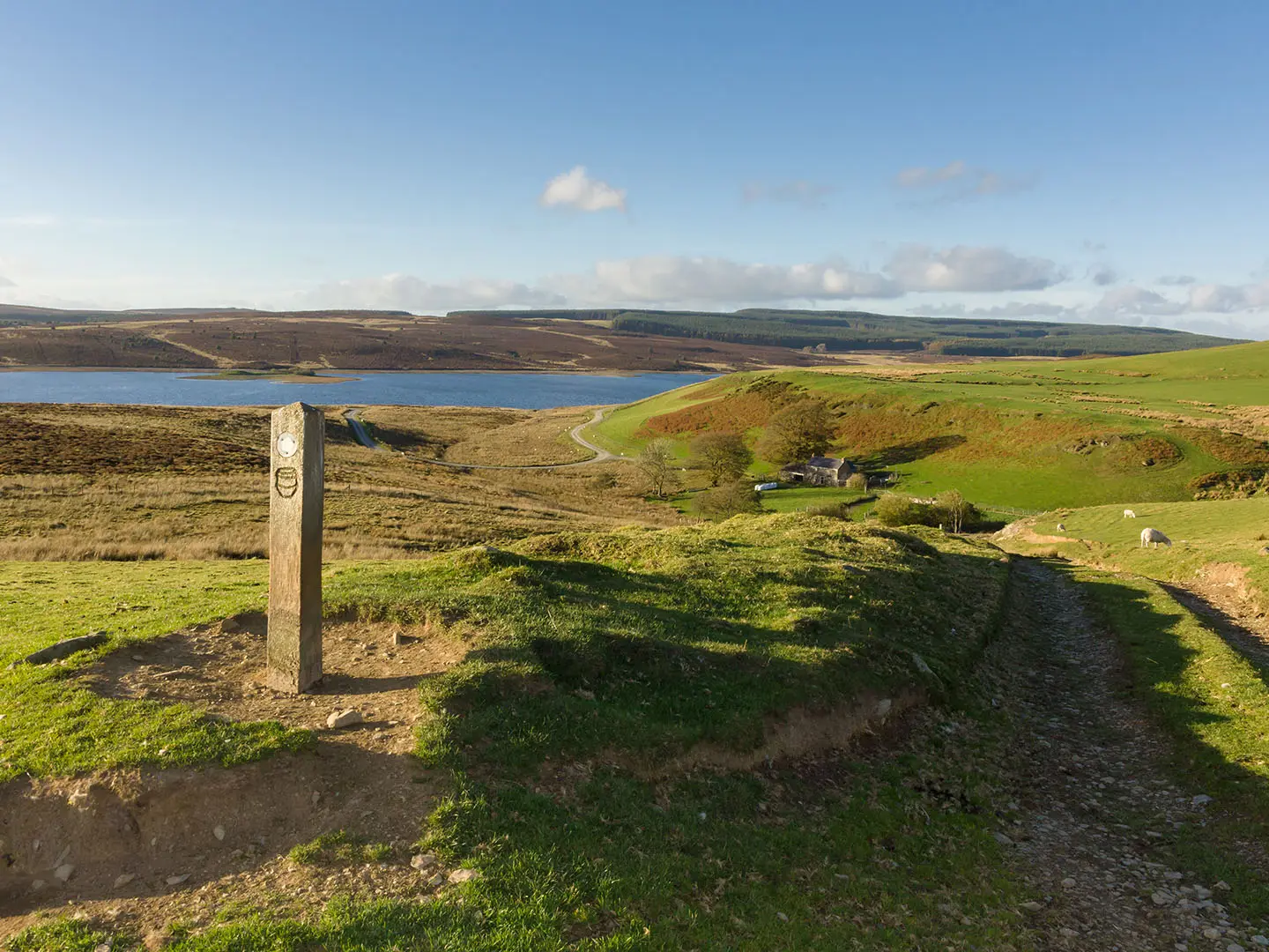
The Llyn Brenig Circular Walk is a waymarked 15.5 km loop around Llyn Brenig, an upland reservoir on the Denbigh Moors / Mynydd Hiraethog in North Wales. It starts and finishes at Llyn Brenig Visitor Centre and is a moderate one-day walk, usually taking around 3 to 4.5 hours. Expect mostly surfaced lakeside paths, forestry tracks and open moorland rather than steep climbing. It suits walkers wanting a straightforward full-day circuit with facilities, wildlife, archaeology and wide views toward Eryri.
Route Overview
Start at Llyn Brenig Visitor Centre, the main access point for the waymarked Brenig Walking Trail, with parking, toilets, café, exhibition and route information. The walk forms a full loop of the reservoir, following the lakeshore, passing the earth-and-stone dam across the Afon Brenig, entering Hiraethog Forest and crossing more open sections of the Denbigh Moors. On the northern shore, the wider trail network includes the Archaeological Trail area, with Bronze Age sites, Hen Ddinbych and Hafoty Sion Llwyd nearby. The site is remote, so most walkers arrive by car and use the visitor centre car park. For other North Wales walks, compare the shorter Aber Falls Walk or the longer Anglesey Coastal Path.
Llyn Brenig history: reservoir, archaeology and the River Dee
Llyn Brenig was created by Welsh Water in the 1970s, with construction from 1973 to 1976 and first filling in 1979. It regulates the River Dee, working with Llyn Celyn to protect water supplies for north-east Wales and north-west England. Before flooding, the upland landscape was surveyed and key Bronze Age monuments were excavated by archaeologist Frances Lynch. Several archaeological sites survived on higher ground because a planned second enlargement of the reservoir was never carried out.
Notable highlights
- Llyn Brenig reservoir and dam: The lake covers about 920 acres and is held by an earth-and-stone dam up to 45 m high across the Afon Brenig. For walkers, the dam gives the route one of its clearest engineered-landscape viewpoints.
- Bronze Age archaeology: The northern shore has an Archaeological Trail with prehistoric burial and ritual monuments, including a Bronze Age ring cairn where three cremations were found. These sites add real historical interest to what is otherwise an easy-to-follow lakeside circuit.
- Hafoty Sion Llwyd: This derelict upland farmstead sits among the remains of post-medieval summer dwellings, or hafodydd. They reflect the seasonal movement of livestock onto the high pastures in summer.
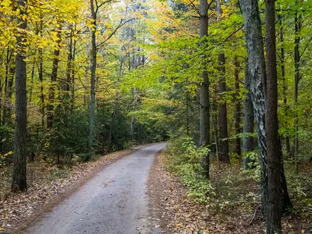
- Hiraethog Forest and upland birdlife: The trail passes through conifer plantation and open moorland, with picnic spots along the shore. The wider Brenig area is known for ospreys, red kites and other upland birds.
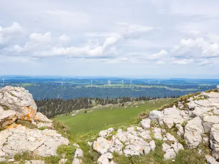
- Views toward Eryri: From the more open ground on the Denbigh Moors, the route opens to views west toward the mountains of Eryri / Snowdonia National Park.
- A manageable North Wales day walk: If you want a longer Welsh hill route after this moderate circuit, the Beacons Way is a very different multi-day option in South Wales.
Challenges to expect
This is moderate rather than mountainous, but it is still an exposed upland moorland walk at around 370 m. Wind, rain and fast-changing weather can make the open sections feel much tougher, especially in winter. Surfaces are generally good, with surfaced paths and forestry tracks, but expect some undulation and a full 15.5 km distance. There is no on-route accommodation; use the visitor centre facilities before or after the circuit.
HikeList Score
Llyn Brenig Circular Walk scored 81/100 on HikeList's trail-quality metrics.
See score breakdownHide breakdown
- Ideal length 55
- Balanced challenge 100
- Scenery & wildness 98
- Varied terrain 76
- Accommodation 66
- Food & support 88
- Path quality 92
- Season flexibility 63
Computed from length, challenge, scenery & wildness, terrain variety, accommodation, food & support, path quality and season flexibility.
 United Kingdom
 Wales
WalesShow more data Show less
- Lakeside
- Moorland
- Forest
- Surfaced Paths
- Forestry Tracks
- Campsites
- Hotels
- Family Friendly
- Pet Friendly
- Restrooms
- Water Sources
- Campsites
- Picnic Areas
In these collections
Photos from hikers
Taken on the trail by people who've reviewed Llyn Brenig Circular Walk.
Reviews
How would you rate Llyn Brenig Circular Walk?
Tap a star to start your review — you could be the first.