Limestone Link
How would you rate Limestone Link?
Tap a star to share your experience and help other hikers.
Limestone Link: Cotswolds to Mendips on a 3-Day Walk
HikeList Score
Limestone Link scored 83/100 on HikeList's trail-quality metrics.
See score breakdownHide breakdown
- Ideal length 70
- Balanced challenge 100
- Scenery & wildness 85
- Varied terrain 83
- Accommodation 83
- Food & support 74
- Path quality 80
- Season flexibility 89
Computed from length, challenge, scenery & wildness, terrain variety, accommodation, food & support, path quality and season flexibility.
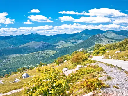
The Limestone Link is a 58 km waymarked point-to-point walk in south-west England, linking the Cotswold Way at Cold Ashton with the West Mendip Way at Shipham. Allow 3 days for a comfortable end-to-end itinerary. It is a moderate route, but most of the walking is gentle: field paths, woodland, canal towpath and quiet lanes through valleys and villages south of Bath, with the main effort on the climbs onto the Cotswold and Mendip limestone edges.
Route Overview
The route can be walked either way between Cold Ashton, South Gloucestershire, and Shipham, Somerset, near Dolebury Warren. East to west, it leaves the Cotswold escarpment and St Catherine’s Valley for Batheaston, follows the River Avon and Kennet & Avon Canal past Bathampton, Claverton and Dundas Aqueduct, then turns through Monkton Combe, Midford and the Cam Brook / Somerset Coal Canal valley. The western half passes Camerton, Hallatrow, West Harptree, Compton Martin and Blagdon before Burrington Combe and Shipham. It is point-to-point, so arrange your own return travel; no verified transport details are included here. For gentler towpath walking, compare the Ashby Canal Trail; for another lowland valley route, see the Amber Valley Route.
History of the Limestone Link
The Limestone Link is a modern recreational route rather than an ancient trackway. It was devised by Cyril Trenfield, walked and written up by the Yatton Ramblers, and first published in 1989, with a printed guide booklet following in 2007. The idea was to create a walkers’ link between the Cotswolds and the Mendips, using the quieter valleys south of Bath. Along the way it touches older layers of landscape history, including Dolebury Warren hillfort, the Kennet & Avon Canal and the former Somerset coalfield around Camerton.
Notable highlights
- Dundas Aqueduct & the Kennet & Avon Canal (level canal walking): The trail uses the Kennet & Avon Canal towpath past Bathampton and Claverton to the John Rennie-designed Dundas Aqueduct, where the canal crosses the River Avon. It is one of the easiest, most reliable underfoot sections of the route.
- Somerset Coal Canal & the Cam Brook valley (industrial landscape): South of Bath, the path follows the Cam Brook and the line of the disused Somerset Coal Canal through Midford and Camerton. This is a quiet valley walk with visible links to the area’s former coalfield.
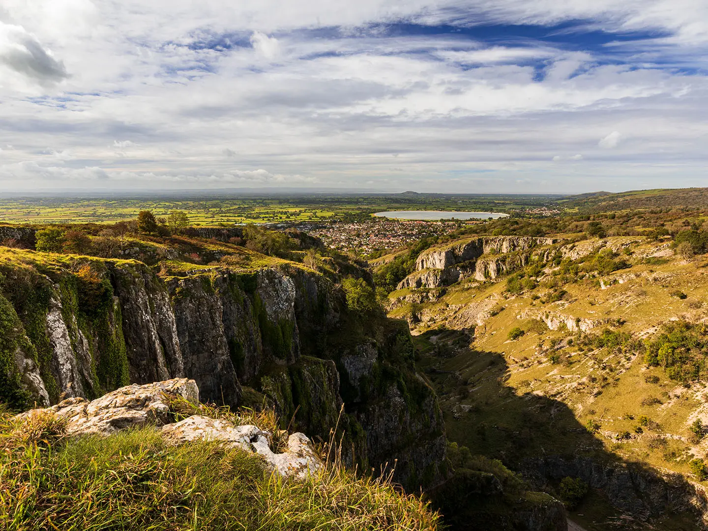
- Burrington Combe (Mendip limestone gorge): Near the Shipham end, the route enters classic Mendip karst country of limestone crags, caves and steep-sided scenery. The gorge is also associated with the hymn “Rock of Ages”.
- Dolebury Warren hillfort (Mendip ridge views): This Iron Age hillfort lies near the western terminus above Churchill and Rowberrow. It gives a strong upland finish, with open views over the Chew Valley and towards the Bristol Channel.
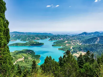
- Chew Valley & the Mendip edge (open views): Around West Harptree, Compton Martin and Blagdon, the route follows the northern fringe of the Mendip Hills National Landscape. Expect broad views across the Chew Valley and its reservoirs.
- Cold Ashton & the Cotswold escarpment (eastern limestone bookend): The Cold Ashton trailhead sits on the Cotswold Way beside the Cotswold escarpment. It marks the eastern limestone landscape that the route links to the Mendips.
Challenges to expect
This is mostly non-technical lowland walking, but it is not just a flat canal route. Expect climbs onto the Cotswold escarpment at Cold Ashton and the Mendip plateau near Shipham, plus muddy field and valley paths after rain. Waymarking uses an ammonite symbol, with boards and QR markers, but carry a map or GPS. Accommodation is inn/B&B style, so book village stops ahead. For a much harder upland contrast, see the Beacons Way.
HikeList Score
Limestone Link scored 83/100 on HikeList's trail-quality metrics.
See score breakdownHide breakdown
- Ideal length 70
- Balanced challenge 100
- Scenery & wildness 85
- Varied terrain 83
- Accommodation 83
- Food & support 74
- Path quality 80
- Season flexibility 89
Computed from length, challenge, scenery & wildness, terrain variety, accommodation, food & support, path quality and season flexibility.
Show more data Show less
- Hills
- River Valley
- Farmland
- Dirt
- Gravel
- Paved
- Hotels
- Inns
- B And B
- Family Friendly
- Pet Friendly
- Water Sources
- Campsites
Photos from hikers
Taken on the trail by people who've reviewed Limestone Link.
Reviews
How would you rate Limestone Link?
Tap a star to start your review — you could be the first.