Leie River Trail
How would you rate Leie River Trail?
Tap a star to share your experience and help other hikers.
Leie River Trail: Ghent to Deinze Along the Lys
HikeList Score
Leie River Trail scored 73/100 on HikeList's trail-quality metrics.
See score breakdownHide breakdown
- Ideal length 55
- Balanced challenge 50
- Scenery & wildness 82
- Varied terrain 100
- Accommodation 74
- Food & support 81
- Path quality 84
- Season flexibility 89
Computed from length, challenge, scenery & wildness, terrain variety, accommodation, food & support, path quality and season flexibility.
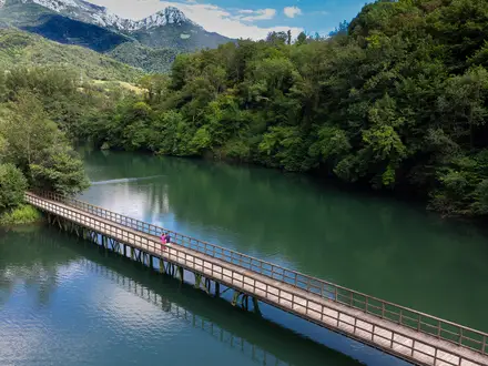
The Leie River Trail is a practical name for a flat point-to-point walk in East Flanders, Belgium, following the Leie/Lys corridor between Ghent and Deinze. It is not a single official branded trail, but the ~40 km route aligns closely with the GR 128 stage between Deinze and Ghent and local signed riverside paths. Allow one long day, roughly 8 hours, or split it into shorter sections. Difficulty is easy: the ground is flat, with distance and mud after rain the main demands.
Route Overview
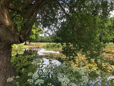
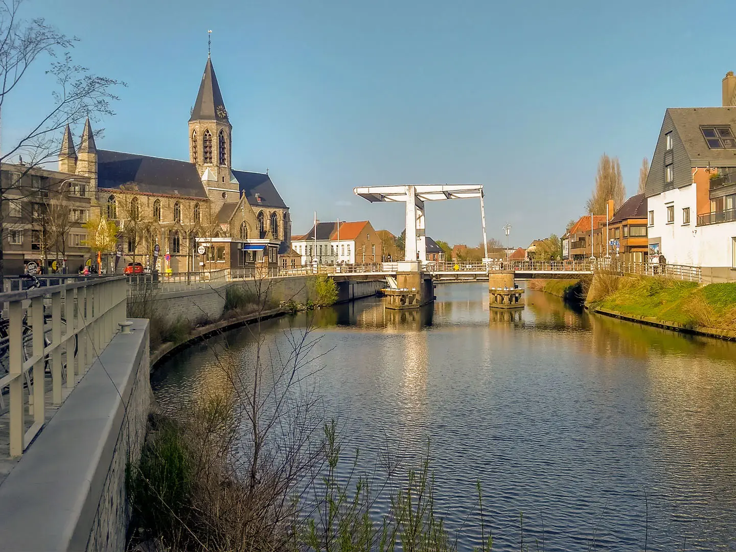
Walk either direction between Ghent and Deinze. From the Ghent end the riverside line passes Afsnee, Drongen, Sint-Martens-Latem, Deurle, Bachte-Maria-Leerne near Ooidonk Castle, Sint-Martens-Leerne and into Deinze. The GR 128 stage 6 version runs Deinze–Ghent and ends at Gent-Sint-Pieters station. Expect a mix of urban quays, meadow paths, villa-lined riverbanks, wetlands and short woodland or nature-reserve sections. Small foot and cycle ferries, including the Baarle ferry near Sint-Martens-Latem, are part of the valley’s character. For an urban add-on, use the Ghent City Trail; for another lowland waterway walk, compare the Bruges to Damme Canal Trail.
Leie River History and the Latem Artists
The Leie/Lys was a medieval trade artery carrying cloth, grain and flax towards Ghent, with flax-retting underpinning the region’s linen industry. From the mid-19th century, painters were drawn to the meandering river and water-meadows around Deurle, Astene and Sint-Martens-Latem. By the 1890s and 1900s, Sint-Martens-Latem had become a major artists’ colony, producing the Latem groups associated with Flemish Symbolism and later Expressionism. The major WWI and WWII Lys fighting was further upstream, not on this Ghent–Deinze section.
Notable highlights
- Ghent: Medieval port city at the Leie/Scheldt confluence, known for the Gravensteen castle, guild houses and canal-side streets. It grew rich through the medieval cloth trade carried on the Leie.
- Sint-Martens-Latem: Riverside village and Belgium’s best-known artists’ colony. The Latem schools formed here around figures including George Minne, Albijn Van den Abeele, Gustave De Smet, Constant Permeke and Albert Servaes.
- Deurle: Small neighbouring art village with museums including the Museum Gust De Smet and the Museum Léon De Smet. It is a worthwhile cultural stop close to the river route.
- Ooidonk Castle: Flemish-Renaissance moated water castle at Bachte-Maria-Leerne near Deinze, on a broad Leie bend. It was rebuilt in Spanish-Flemish style and remains privately inhabited.
- Latemse Meersen: Protected riverside water-meadows between Sint-Martens-Latem and the Leie. Expect grazing wetlands, willows and birdlife on a signed nature-walk area.
- Leie ferries: Small foot and cycle ferries, such as the Baarle ferry, provide crossings along the river. They are useful for route variations and give the walk a distinctive local feel.
Challenges to expect
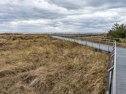
The walking is flat and technically easy, but the full ~40 km makes it a long day. Surfaces vary from paved quays to gravel, dirt and unpaved field paths, with muddy or slippery sections after rain. The Warmoezenierspad bank path can narrow at high water. Summer has limited shade on open meadows. Because “Leie River Trail” is not an official waymarked route name, navigate with GR 128 and local riverside signage; for a hillier Belgian river route, see GR 126 (Semois & Meuse Rivers).
HikeList Score
Leie River Trail scored 73/100 on HikeList's trail-quality metrics.
See score breakdownHide breakdown
- Ideal length 55
- Balanced challenge 50
- Scenery & wildness 82
- Varied terrain 100
- Accommodation 74
- Food & support 81
- Path quality 84
- Season flexibility 89
Computed from length, challenge, scenery & wildness, terrain variety, accommodation, food & support, path quality and season flexibility.
 Belgium
Show more data Show less
- River Valley
- Wetlands
- Meadows
- Woodland
- Urban Fringe
- Paved
- Gravel
- Dirt
- Unpaved Field Paths
- Hotels
- Hostels
- Family Friendly
- Pet Friendly
- Restrooms
- Water Sources
- Picnic Areas
Photos from hikers
Taken on the trail by people who've reviewed Leie River Trail.
Reviews
How would you rate Leie River Trail?
Tap a star to start your review — you could be the first.