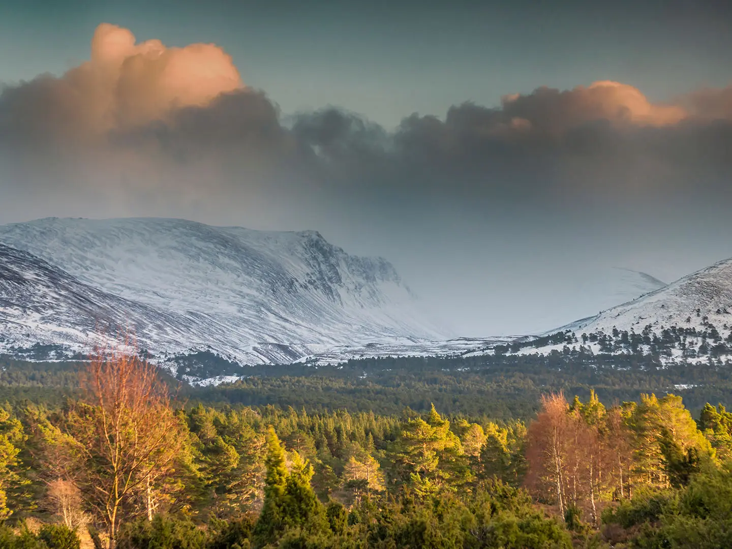
Lairig Ghru Traverse
How would you rate Lairig Ghru Traverse?
Tap a star to share your experience and help other hikers.
Lairig Ghru Traverse: Cairngorms Pass Hiking Guide
HikeList Score
Lairig Ghru Traverse scored 76/100 on HikeList's trail-quality metrics.
See score breakdownHide breakdown
- Ideal length 59
- Balanced challenge 56
- Scenery & wildness 98
- Varied terrain 71
- Accommodation 75
- Food & support 81
- Path quality 98
- Season flexibility 89
Computed from length, challenge, scenery & wildness, terrain variety, accommodation, food & support, path quality and season flexibility.
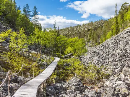
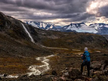
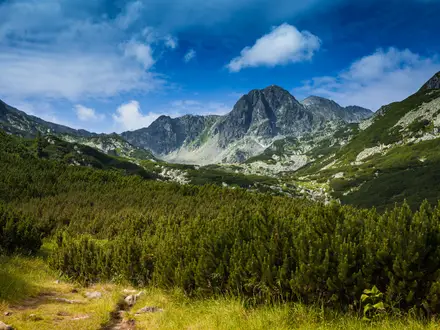
The Lairig Ghru Traverse is a 30 km point-to-point mountain crossing through the Cairngorms in Scotland, linking Aviemore/Coylumbridge with Linn of Dee. It is not a waymarked long-distance trail but an ancient high pass between Ben Macdui, Braeriach and Cairn Toul. Plan for a strenuous 8–12 hour day, or split it over 2 days with Corrour Bothy. This is for confident hikers comfortable with remote terrain, rough boulders, river crossings and fast-changing mountain weather.
Route Overview
Most walkers start at Aviemore or Coylumbridge and head south through Rothiemurchus Forest before the route roughens into the high, boulder-strewn pass. The alternative Glenmore approach crosses the Chalamain Gap, a boulder-choked defile requiring careful footing. Key points include the Sinclair Memorial Hut site, the Pools of Dee at about 835 m, March Burn on the watershed, Corrour Bothy on the River Dee side, Luibeg Burn and Linn of Dee. The core traverse ends at Linn of Dee; continuing on tarmac to Braemar makes the full route about 43 km. For other Scottish routes, compare the Beinn Eighe Mountain Trail, Arran Coastal Way and Assynt Coastal Path.
An Ancient Cairngorms Through-Route
The Lairig Ghru, or Gaelic Làirig Dhrù, has long been a practical passage through the Cairngorms. It was used by cattle raiders, remembered in place names such as Allt Preas nam Meirleach, and later as a drove road for moving cattle south until about 1873. Locals once cleared boulders from the summit section to ease cattle passage. The Scottish Rights of Way and Recreation Society signposted the route in 1885 to help protect public access.
Notable highlights
- Pools of Dee (~835 m): A chain of small spring-fed tarns at the high point of the pass, set among stark glacial boulders. They were long mistaken for the source of the River Dee.
- Corrour Bothy: A simple Mountain Bothies Association refuge beneath Cairn Toul and the Devil’s Point. It is the classic overnight stop if you split the traverse over 2 days.
- Rothiemurchus pinewoods: The northern approach passes through a major remnant of ancient Caledonian Forest, with Scots pine and species such as capercaillie and crested tit.
- Clach nan Taillear — the Tailors’ Stone: A roadside boulder linked to the story of three tailors who died while attempting a New Year wager across Rothiemurchus, Abernethy and Dalwhinnie.
- The Cairngorm giants: The pass threads between Ben Macdui, Braeriach and Cairn Toul, with Carn a’ Mhaim flanking the southern section.
Challenges to expect
Expect a committing mountain expedition rather than a signed trail. The going changes from good forest paths to rough, rocky and boulder-strewn ground, with long exposed sections and no facilities in the pass. Navigation can be awkward around the summit moraines, and Luibeg Burn is hazardous in spate. Outside late spring to early autumn, treat it as a serious winter mountaineering route.
HikeList Score
Lairig Ghru Traverse scored 76/100 on HikeList's trail-quality metrics.
See score breakdownHide breakdown
- Ideal length 59
- Balanced challenge 56
- Scenery & wildness 98
- Varied terrain 71
- Accommodation 75
- Food & support 81
- Path quality 98
- Season flexibility 89
Computed from length, challenge, scenery & wildness, terrain variety, accommodation, food & support, path quality and season flexibility.
 United Kingdom
 Scotland
Show more data Show less
- Mountainous
- Forest
- Rocky
- Dirt
- Gravel
- Huts
- Hotels
- Wild Camping Spots
- Pet Friendly
- Water Sources
- Campsites
- Shelters
In these collections
Photos from hikers
Taken on the trail by people who've reviewed Lairig Ghru Traverse.
Reviews
How would you rate Lairig Ghru Traverse?
Tap a star to start your review — you could be the first.