Hafren Forest Trail
How would you rate Hafren Forest Trail?
Tap a star to share your experience and help other hikers.
Hafren Forest Trail: Waterfalls on the Young Severn
HikeList Score
Hafren Forest Trail scored 76/100 on HikeList's trail-quality metrics.
See score breakdownHide breakdown
- Ideal length 55
- Balanced challenge 60
- Scenery & wildness 85
- Varied terrain 83
- Accommodation 83
- Food & support 88
- Path quality 92
- Season flexibility 89
Computed from length, challenge, scenery & wildness, terrain variety, accommodation, food & support, path quality and season flexibility.
The Hafren Forest Trail is best treated as a 7.5 km day-walking loop in Hafren Forest, Powys, Mid Wales, about 6 miles west of Llanidloes. It is easy to moderate, mostly on well-graded forest tracks and paths, and suits walkers wanting waterfalls, woodland and short loops rather than a multi-day trail. The route uses the Rhyd-y-benwch car park and sits within a Natural Resources Wales network of waymarked walks. For other Welsh walking ideas, compare the Aber Falls Walk and Beacons Way.
Route Overview
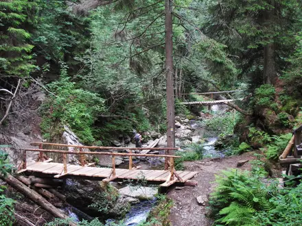
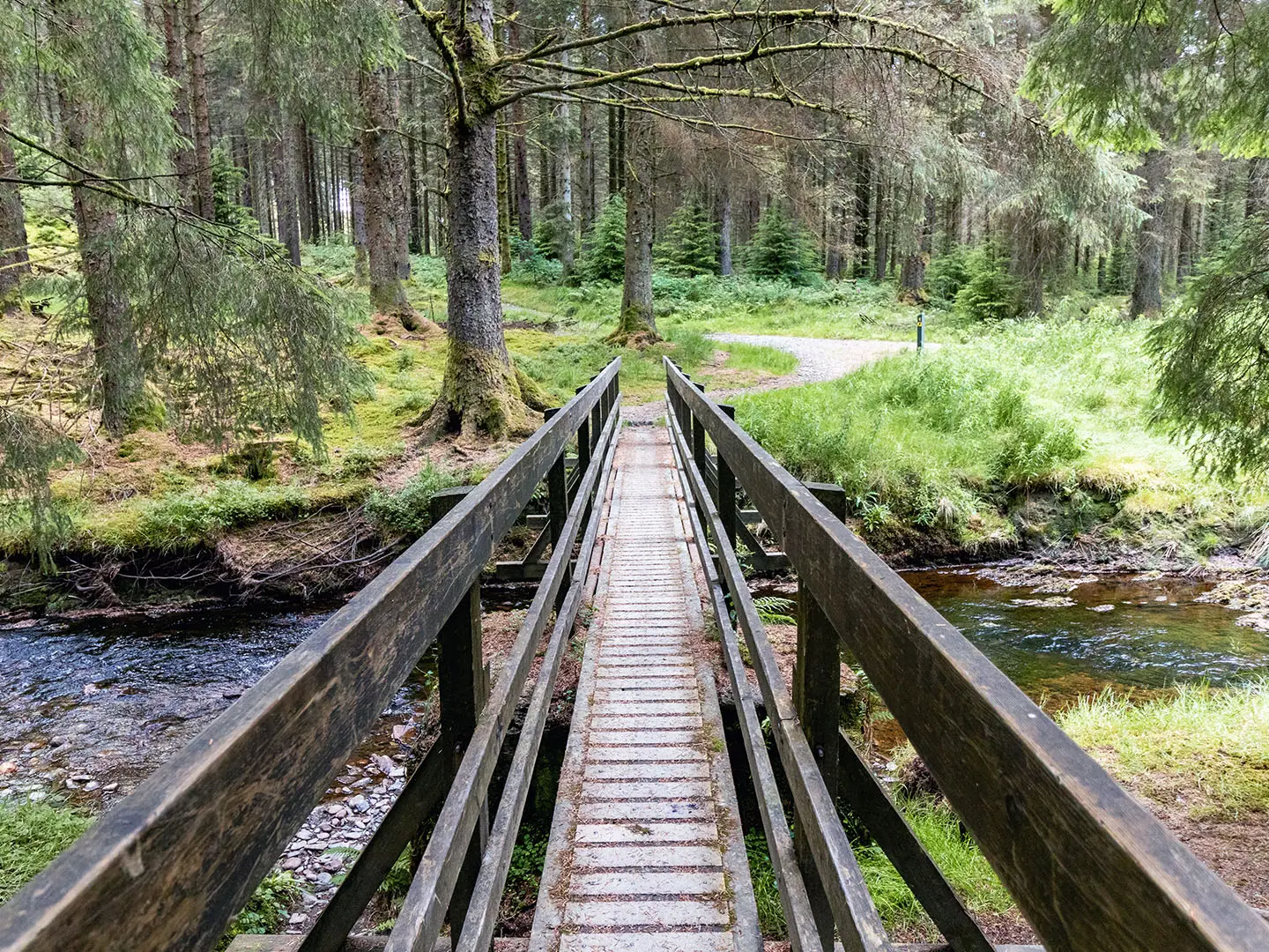
Start and finish at Rhyd-y-benwch, the shared Hafren Forest car park and trailhead. The representative 7.5 km circular links forest roads, compact gravel paths, footbridges and waterfall viewpoints on the young River Severn, taking in features such as the Cascades boardwalk, Severn-Break-its-Neck and Blaen Hafren Falls. Natural Resources Wales also waymarks shorter and longer options from the same car park: the 0.9 km accessible Cascades Walk, the 2.3 km Severn-Break-its-Neck trail, the 6 km Blaen Hafren Falls trail and the strenuous 13 km Source of the Severn route. This listing is not a single official NRW named trail. If you want a very different Welsh line, the Anglesey Coastal Path is a coastal alternative.
Hafren Forest history and the River Severn name
Before forestry, this was open upland sheep pasture with lead mining. The Forestry Commission began planting the conifer forest from the 1930s, with commercial forestry from about 1937, and the area is now managed by Natural Resources Wales for timber, wildlife and recreation. The forest takes its name from the Afon Hafren, the River Severn. In Welsh legend, recorded by Geoffrey of Monmouth around 1136, Hafren — Latinised as Sabrina — was a princess drowned in the river, which then took her name.
Notable highlights
- Severn-Break-its-Neck waterfall: The Severn’s first true waterfall, reached by the 2.3 km moderate trail via a wildflower meadow and footbridge.
- The Cascades boardwalk: A level, accessible boardwalk along the infant River Severn to a raised viewing platform over the cascades; this is the wheelchair- and buggy-friendly section.
- Blaen Hafren Falls: A forest waterfall on the upper Severn and the focus of NRW’s 6 km moderate loop through the plantation.
- Source of the River Severn: The source lies on Pumlumon at about 610 m and is reached only on the strenuous 13 km source route, not on the standard forest loops.
- Pumlumon / Plynlimon backdrop: Mid Wales’ highest mountain rises beyond the forest’s western edge and is associated with the sources of the Severn, Wye and Rheidol.
- Forest wildlife: Look for red kites, buzzards and ospreys overhead, dippers along the river, and deer within the plantation.
Challenges to expect
The main 7.5 km forest loop is straightforward, but expect wet Mid Wales conditions, loose stones, steps and potentially muddy sections. The forest paths are waymarked, yet this is a network of loops rather than one single trail, so check the NRW route you intend to follow. Do not confuse the waterfall loop with the strenuous Source of the Severn route, which climbs onto boggy higher ground that can be cloud-covered.
HikeList Score
Hafren Forest Trail scored 76/100 on HikeList's trail-quality metrics.
See score breakdownHide breakdown
- Ideal length 55
- Balanced challenge 60
- Scenery & wildness 85
- Varied terrain 83
- Accommodation 83
- Food & support 88
- Path quality 92
- Season flexibility 89
Computed from length, challenge, scenery & wildness, terrain variety, accommodation, food & support, path quality and season flexibility.
 United Kingdom
 Wales
WalesShow more data Show less
- Forest
- River
- Waterfalls
- Compact Gravel
- Loose Stones
- Boardwalk
- B&Bs
- Inns
- Campsites
- Family Friendly
- Pet Friendly
- Restrooms
- Water Sources
- Campsites
- Picnic Areas
Photos from hikers
Taken on the trail by people who've reviewed Hafren Forest Trail.
Reviews
How would you rate Hafren Forest Trail?
Tap a star to start your review — you could be the first.