Glymur Waterfall Trail
How would you rate Glymur Waterfall Trail?
Tap a star to share your experience and help other hikers.
Glymur Waterfall Trail: Rugged Canyon Hike to Iceland’s Second-Highest Waterfall
HikeList Score
Glymur Waterfall Trail scored 74/100 on HikeList's trail-quality metrics.
See score breakdownHide breakdown
- Ideal length 55
- Balanced challenge 100
- Scenery & wildness 88
- Varied terrain 94
- Accommodation 49
- Food & support 45
- Path quality 98
- Season flexibility 76
Computed from length, challenge, scenery & wildness, terrain variety, accommodation, food & support, path quality and season flexibility.
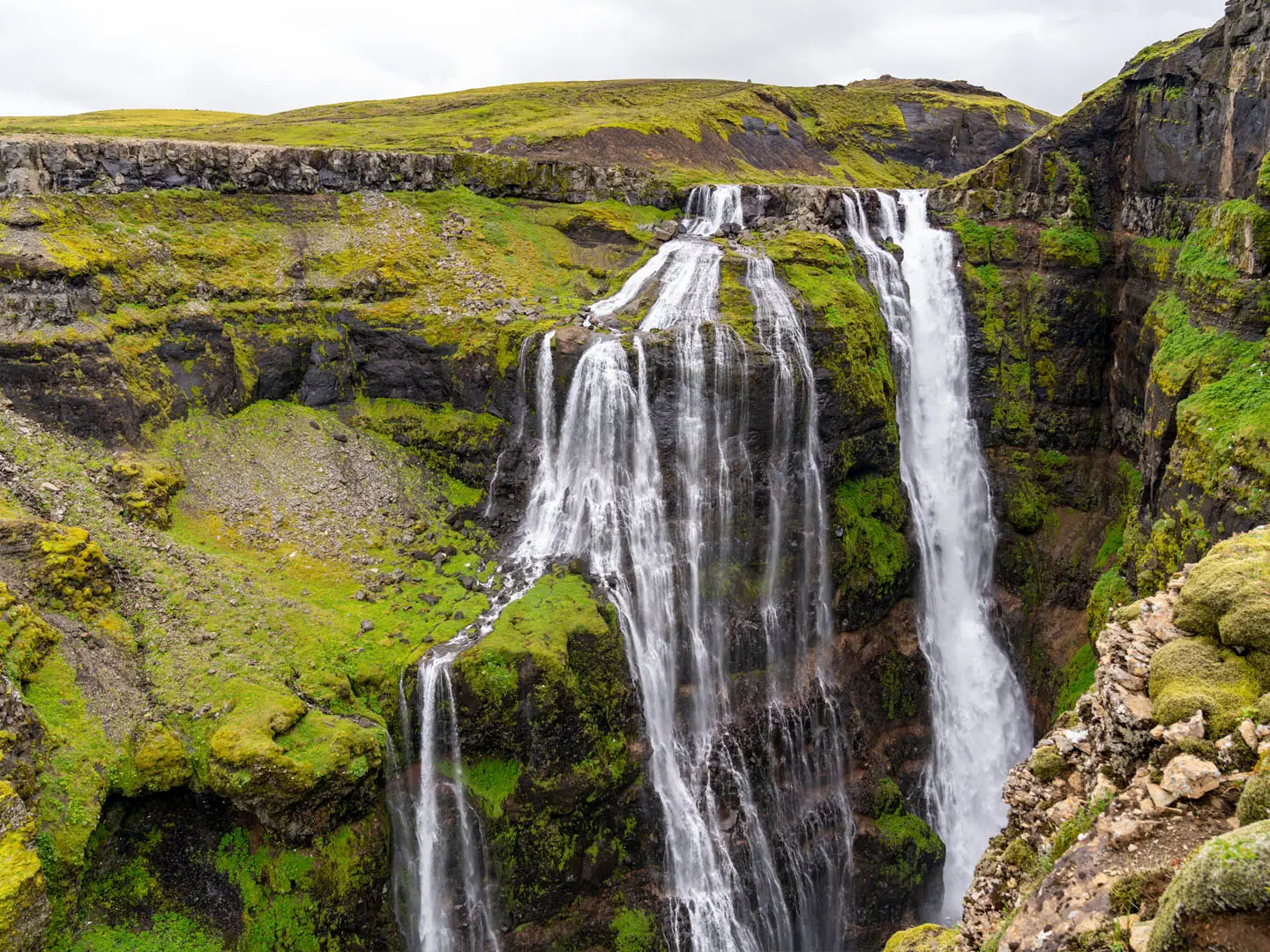
The Glymur Waterfall Trail is a 7 km day hike in Hvalfjordur, West Iceland, about an hour north of Reykjavik. This moderate route climbs from Botnsdalur up a steep canyon to viewpoints over 198 m Glymur, long regarded as Iceland’s tallest waterfall and now ranked second after Morsarfoss. Expect rocky ground, exposed sections and two river crossings if you do the loop. It suits confident day hikers planning a short, rugged outing in Iceland, not small children or anyone uneasy with heights.
Route Overview
Start and finish at the Botnsa / Glymur car park at the head of Botnsdalur valley, at the inner end of Hvalfjordur. The path follows the Botnsa river through mossy birch scrub, passes Thvottahellir cave, then crosses the river on a seasonal log bridge with a rope/cable handrail. From there it climbs steep, rocky canyon paths to several viewpoints over the gorge, Hvalfjordur and Glymur. You can turn back from the main viewpoint for an out-and-back, or continue as the popular loop by wading the upper river above the falls and descending the opposite bank. For other Iceland day-hike ideas, compare the Dynjandi Waterfall Trail or the Eldborg Crater Loop.
Glymur Folklore and the Whale Fjord Legend
Glymur means roughly “rumble” or “loud echo”, a fitting name for a waterfall hidden in a narrow canyon. Local folklore tells of Raudhofdi, or Redhead, a man turned into a whale by an elf-woman. A priest is said to have lured him up the Botnsa river, where he died in Hvalvatn, Whale Lake, above the falls. The names Hvalvatn and Hvalfjordur, Whale Fjord, echo that story.
Notable highlights
- Glymur waterfall (198 m): The main goal of the hike, Glymur drops into a deep, narrow gorge and was long considered Iceland’s highest waterfall. It is now ranked second after Morsarfoss.
- Thvottahellir cave: A small cave near the riverbank that the path passes through early in the walk, shortly before the first crossing.
- Botnsa log bridge crossing: A single seasonal log spans the river with a rope/cable handrail. It is usually installed around mid-to-late June and removed by early October.
- Canyon viewpoints over Hvalfjordur: The climb gives several airy viewpoints down the moss-lined gorge and out across Whale Fjord.
- Loop via the upper crossing: Wading the river above the falls lets you return down the opposite bank instead of retracing the ascent.
- West Iceland waterfall contrast: If you are building a wider itinerary, the Dynjandi Waterfall Trail offers another short waterfall walk in Iceland, while the Fimmvörðuháls Trail is a much longer mountain route.
Challenges to expect
The trail is short but not casual. Expect steep, narrow dirt paths, rocky and scrambly sections, exposed canyon edges and river crossings. The first crossing depends on the seasonal log bridge; the loop adds an unbridged wade above the falls. June to September is the normal season. In winter the route is effectively impassable because of snow, ice, short daylight and the removed log bridge.
HikeList Score
Glymur Waterfall Trail scored 74/100 on HikeList's trail-quality metrics.
See score breakdownHide breakdown
- Ideal length 55
- Balanced challenge 100
- Scenery & wildness 88
- Varied terrain 94
- Accommodation 49
- Food & support 45
- Path quality 98
- Season flexibility 76
Computed from length, challenge, scenery & wildness, terrain variety, accommodation, food & support, path quality and season flexibility.
 Iceland
Show more data Show less
- Mountainous
- Canyon
- Gorge
- Birch Scrub
- Dirt
- Rocky
- River Beds
- Wild camping spots
- Accommodation Not Required
- Family Friendly
- Pet Friendly
- Restrooms
Photos from hikers
Taken on the trail by people who've reviewed Glymur Waterfall Trail.
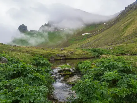
From the Botnsa / Glymur car park, follow the Botnsa river through birch and moss to Thvottahellir cave, cross the seasonal log bridge, then climb the steep canyon path to viewpoints over Glymur and Hvalfjordur. Return the same way, or make the loop by wading the river above the falls and descending the far bank.
Reviews
How would you rate Glymur Waterfall Trail?
Tap a star to start your review — you could be the first.