England Coast Path
How would you rate England Coast Path?
Tap a star to share your experience and help other hikers.
England Coast Path: A Complete Hiking Guide
HikeList Score
England Coast Path scored 79/100 on HikeList's trail-quality metrics.
See score breakdownHide breakdown
- Ideal length 52
- Balanced challenge 90
- Scenery & wildness 71
- Varied terrain 89
- Accommodation 83
- Food & support 94
- Path quality 84
- Season flexibility 100
Computed from length, challenge, scenery & wildness, terrain variety, accommodation, food & support, path quality and season flexibility.
The King Charles III England Coast Path is a National Trail around the whole coast of England, linking the Scottish and Welsh borders in a 4,328 km (2,700 mile) point-to-point route — when fully complete, the longest managed coastal walking route in the world. A continuous thru-hike is a major undertaking, estimated at 210-300 days, though most walkers tackle it in sections. It is moderate rather than technical: mostly low-level coast walking, but long, exposed, and repeatedly up and down cliffs, steps, beaches and sea walls. It suits experienced long-distance walkers and section hikers who can plan around tides, accommodation and diversions.
Route Overview
The route runs around England’s coastline between Berwick-upon-Tweed and Gretna on the Scottish border, and Queensferry and Aust on the Welsh border. It is officially organised into five regional sections: North-East, East, South-East, South-West and North-West. Key coastlines include Northumberland, Yorkshire, the Wash, North Norfolk, the Thames Estuary, the White Cliffs of Dover, the Seven Sisters, Dorset’s Jurassic Coast, Devon, Cornwall, the Severn Estuary and the Cumbrian coast. It absorbs existing trails including the South West Coast Path and Norfolk Coast Path. For another national coastal comparison, see the Wales Coast Path.
History of the England Coast Path
The path was created under the Marine and Coastal Access Act 2009, which gave Natural England a legal duty to secure a continuous walking route and coastal access margin around England’s open coast. The first stretch, at Weymouth Bay, opened in 2012 after a long Ramblers campaign for a coastal path. In 2023 it was renamed the King Charles III England Coast Path to mark the coronation, and it was formally inaugurated by the King at the Seven Sisters in March 2026.
Notable highlights
- Seven Sisters: White chalk sea cliffs on the East Sussex coast, with the well-known coastguard cottages below. King Charles III launched the trail here in March 2026.
- White Cliffs of Dover: Iconic chalk cliffs facing the Channel, long associated with arrival in England. The path follows the cliff tops, with views towards France in clear weather.
- South West Coast Path: The 630-mile / 1,010 km Devon and Cornwall section is folded into the England Coast Path. Expect rugged Atlantic cliffs, coves and fishing harbours.
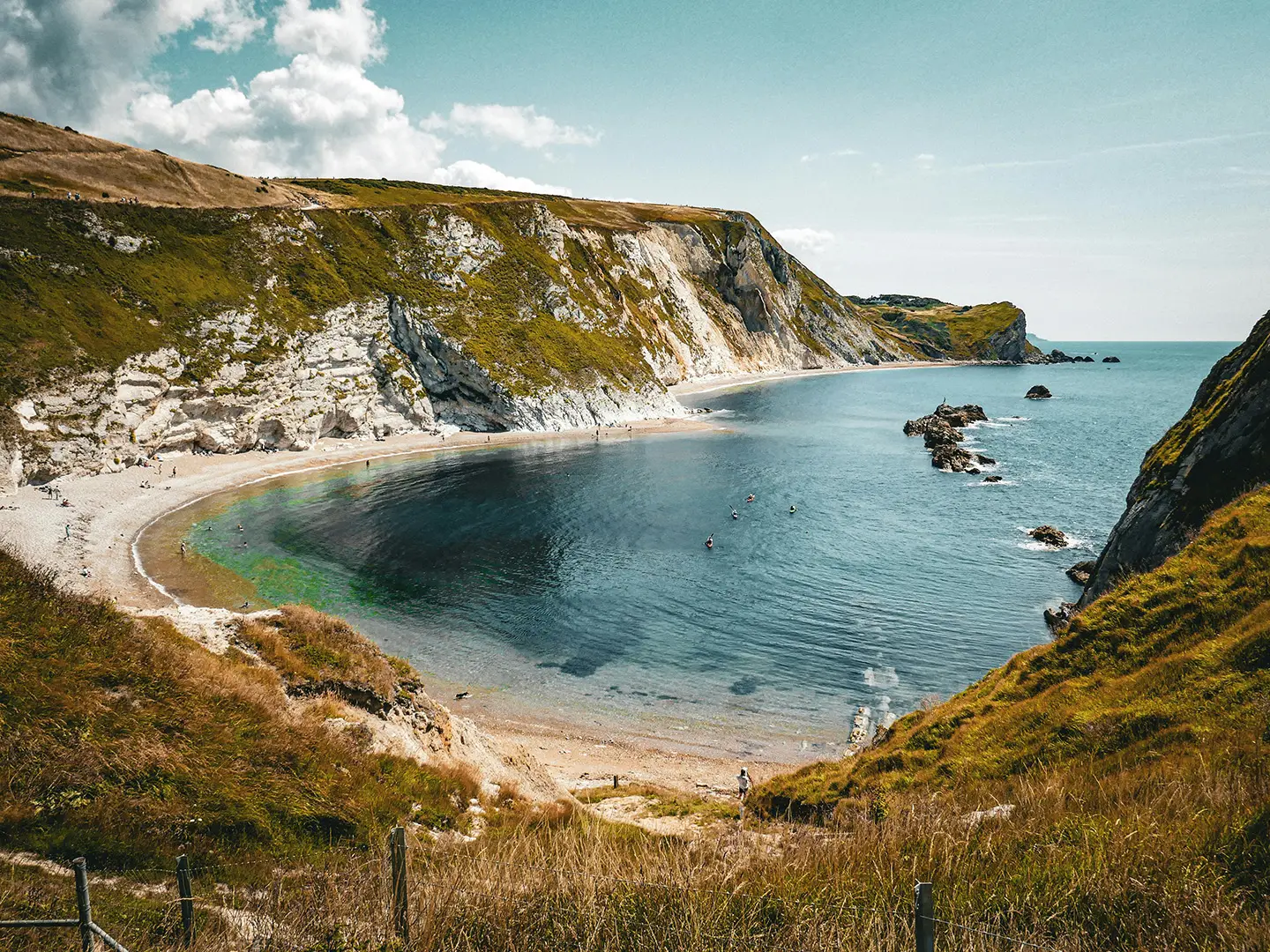
- Jurassic Coast: England’s only natural World Heritage Site, with Dorset and East Devon cliffs recording around 185 million years of geology. Durdle Door and Lulworth Cove are key landmarks.
- Northumberland castles: The north-east coast passes broad sandy beaches and fortresses such as Bamburgh and Dunstanburgh, with nearby seabird islands.
- North Norfolk saltmarshes and the Wash: Big-sky marsh, mudflat and shingle landscapes important for wintering and migrating wildfowl and waders.
Challenges to expect
The difficulty is scale rather than altitude. Expect long exposed coast days, wind, mud in winter, occasional erosion diversions, sand and shingle, paved promenades, steep cliff steps and repeated headlands. Navigation is helped by the National Trail acorn and King Charles III England Coast Path signage, but access restrictions, wildlife-sensitive areas and the coastal margin still need attention. Summer accommodation in resorts can book up fast.
HikeList Score
England Coast Path scored 79/100 on HikeList's trail-quality metrics.
See score breakdownHide breakdown
- Ideal length 52
- Balanced challenge 90
- Scenery & wildness 71
- Varied terrain 89
- Accommodation 83
- Food & support 94
- Path quality 84
- Season flexibility 100
Computed from length, challenge, scenery & wildness, terrain variety, accommodation, food & support, path quality and season flexibility.
Show more data Show less
- Coastal
- Grassland
- Beach
- Dirt
- Paved
- Rocky
- Sand
- Hotels
- Guesthouses
- Campsites
- Family Friendly
- Dog Friendly On Leash
- Restrooms
- Potable Water Sources
- Established Campsites
- Picnic Areas
- Public Transport Access Points
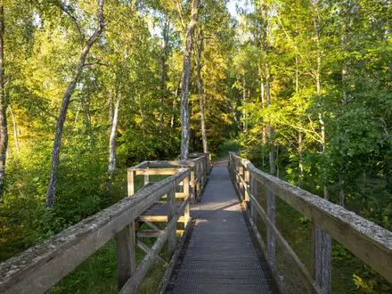
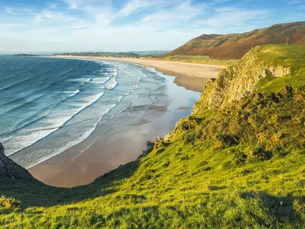
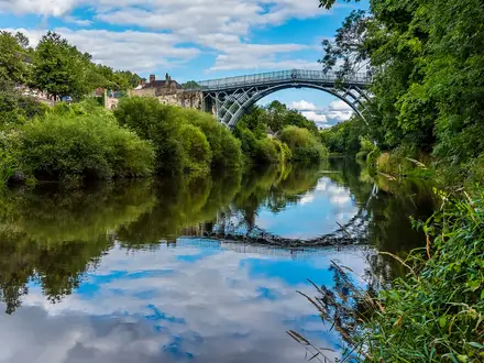
Photos from hikers
Taken on the trail by people who've reviewed England Coast Path.
Reviews
How would you rate England Coast Path?
Tap a star to start your review — you could be the first.