Engelberg Valley Trail
How would you rate Engelberg Valley Trail?
Tap a star to share your experience and help other hikers.
Engelberg Valley Trail: Aa Gorge Walk Guide
HikeList Score
Engelberg Valley Trail scored 77/100 on HikeList's trail-quality metrics.
See score breakdownHide breakdown
- Ideal length 55
- Balanced challenge 60
- Scenery & wildness 98
- Varied terrain 83
- Accommodation 74
- Food & support 81
- Path quality 98
- Season flexibility 89
Computed from length, challenge, scenery & wildness, terrain variety, accommodation, food & support, path quality and season flexibility.
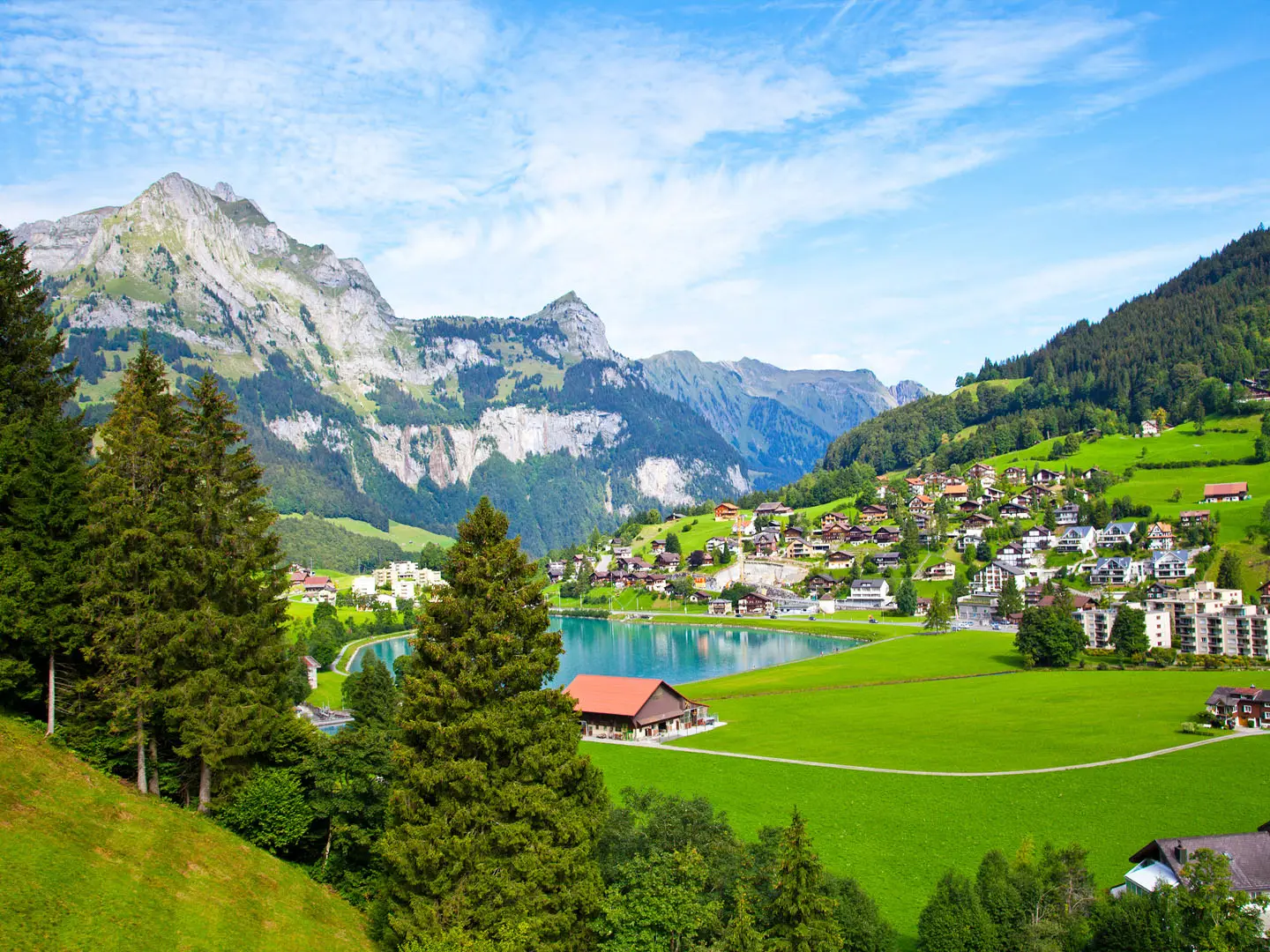
The Engelberg Valley Trail is a short, easy 9 km point-to-point walk in Central Switzerland, following the real waymarked Engelberger Aa Gorge trail between Engelberg and Grafenort. Most hikers walk it downhill from Engelberg, taking about a few hours rather than a full day. It suits families, dog walkers and hikers wanting a shaded river-gorge walk with bridges, picnic spots and simple rail logistics. For more Swiss hiking ideas, see our Switzerland hiking guide.
Route Overview
Start at Engelberg railway station on the Zentralbahn line and follow the valley down past Eugenisee into the Engelberger Aa Gorge. The route is also signed locally as the Erlebnisweg Engelberger Aaschlucht or Schluchtenweg, and coincides with ViaSbrinz / Sbrinz Route 40. It crosses the Engelberger Aa on a sequence of stone, metal and suspension bridges, passes Tonis Balm picnic shelter and Obermatt, then finishes at Grafenort railway station. Grafenort is a request stop, so press the button for the train. For a much longer Swiss crossing, compare the Alpine Pass Route or the Aletsch Glacier Panorama Trail.
Engelberg, ViaSbrinz and the old valley route
Engelberg grew around its Benedictine abbey, founded in 1120 and later rebuilt in early-Baroque style after a major fire. The valley path is also part of the historic Sbrinz Route, now waymarked as ViaSbrinz, which followed the old mule-trade line carrying Sbrinz cheese and goods across the central Swiss Alps toward Italy. At Grafenort, the Baroque Herrenhaus, Holy Cross Chapel and old inn give the walk a historic finish close to the station.
Notable highlights
- Engelberger Aa Gorge (Aaschlucht): The core of the walk, with forest, boulders, turquoise pools and small waterfalls along the river.
- The nine bridges: A mix of stone, metal and suspension-style crossings zig-zag the path across the Engelberger Aa and define the route’s character.
- Tonis Balm: A covered fireplace and picnic shelter tucked under a rock overhang, with tables, benches and a grill.
- Eugenisee: A small lake near the Engelberg end, passed early when walking downhill.
- Engelberg Abbey: The Benedictine monastery that shaped Engelberg’s history and is worth visiting before or after the walk.
- Grafenort heritage buildings: The Baroque manor, Holy Cross Chapel and old inn mark the lower end of the route near Grafenort station.
Challenges to expect
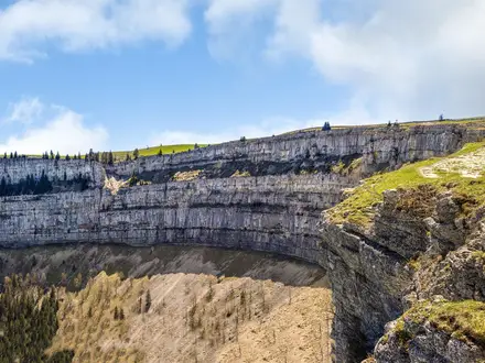
This is an easy T1 hiking route, but it is still a natural gorge path. Expect earth, roots, gravel, rocky sections and slippery ground after rain. The upper gorge needs sure-footedness, and the route should be avoided during heavy rain or thunderstorms because of rockfall risk. There are benches and picnic spots, but no toilets on the trail itself. For a different short Swiss day hike, see the Creux du Van Circular Trail.
HikeList Score
Engelberg Valley Trail scored 77/100 on HikeList's trail-quality metrics.
See score breakdownHide breakdown
- Ideal length 55
- Balanced challenge 60
- Scenery & wildness 98
- Varied terrain 83
- Accommodation 74
- Food & support 81
- Path quality 98
- Season flexibility 89
Computed from length, challenge, scenery & wildness, terrain variety, accommodation, food & support, path quality and season flexibility.
Show more data Show less
- Mountainous
- Forest
- River
- Dirt
- Gravel
- Rocky
- Hotels
- Lodges
- Family Friendly
- Pet Friendly
- Restrooms
- Water Sources
- Picnic Areas
Photos from hikers
Taken on the trail by people who've reviewed Engelberg Valley Trail.
Reviews
How would you rate Engelberg Valley Trail?
Tap a star to start your review — you could be the first.