Dune du Pilat Trails
How would you rate Dune du Pilat Trails?
Tap a star to share your experience and help other hikers.
Dune du Pilat Trails: Europe’s Tallest Sand Dune Walk
HikeList Score
Dune du Pilat Trails scored 78/100 on HikeList's trail-quality metrics.
See score breakdownHide breakdown
- Ideal length 55
- Balanced challenge 100
- Scenery & wildness 78
- Varied terrain 57
- Accommodation 83
- Food & support 75
- Path quality 98
- Season flexibility 100
Computed from length, challenge, scenery & wildness, terrain variety, accommodation, food & support, path quality and season flexibility.
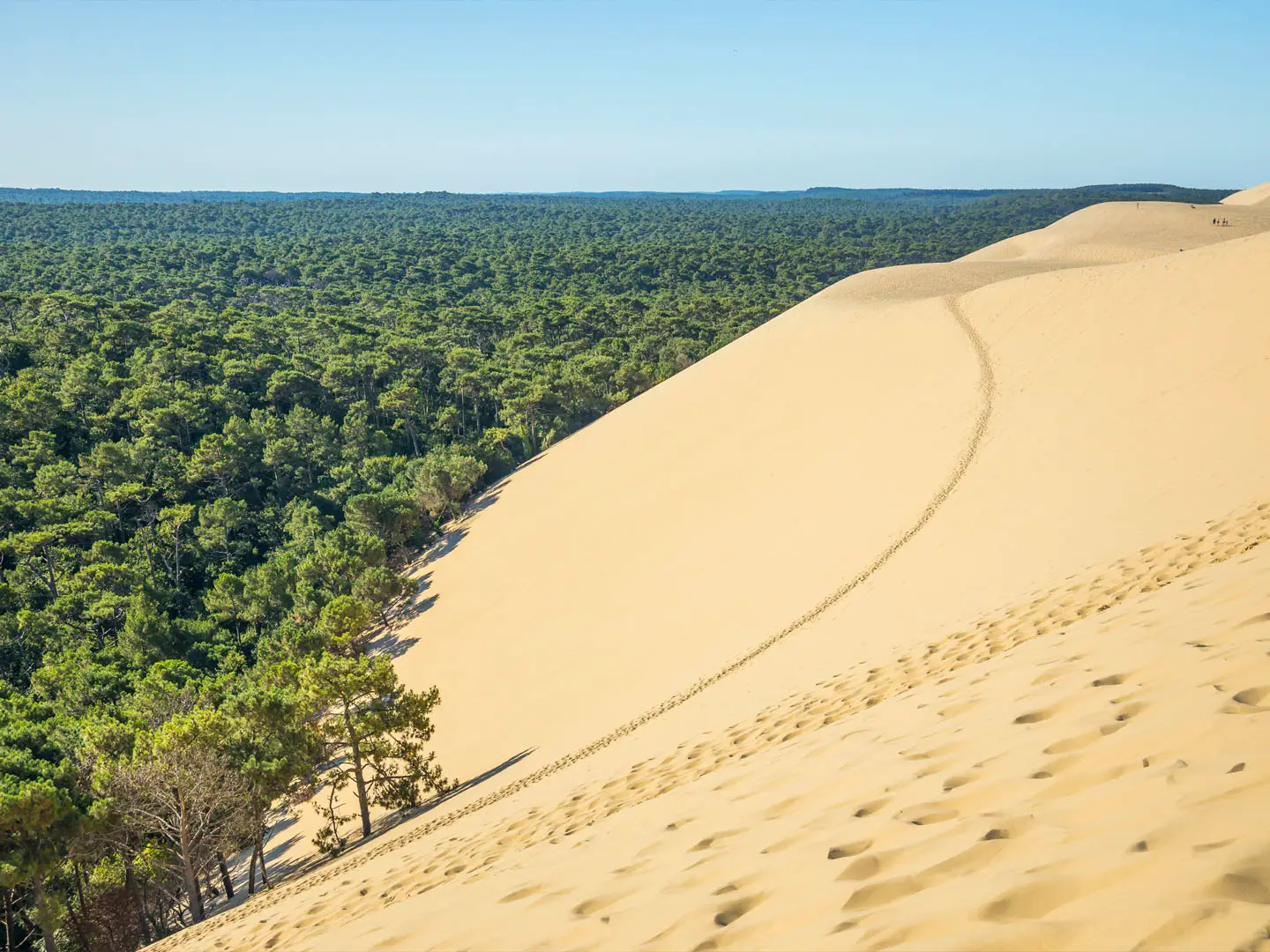
The Dune du Pilat Trails are short sand walks on Europe’s tallest dune at La Teste-de-Buch, near Arcachon Bay in France. This is a 2.7 km representative out-and-back, usually taking 1–2 hours in one day. It is moderate rather than technical: the distance is short, but the loose, steep sand makes the climb tiring. It suits families, photographers and walkers wanting a quick coastal viewpoint over the Atlantic, Banc d’Arguin and the Landes pine forest.
Route Overview
Start from the main visitor car park, about 400 m from the dune, then walk to the eastern base and climb to the crest. From April to early or mid-November a temporary 160-step wooden staircase makes the ascent easier; outside that period you climb directly up soft sand. Once on top, turn along the ridge for as far as you want before returning the same way. There is no fixed waymarked long-distance trail here: 2.7 km represents a climb plus a crest walk, not an official route. For a longer Arcachon-area trip, compare the Bordeaux to Arcachon Trail, or contrast this short sand walk with the Canal du Midi Towpath.
History of the Dune du Pilat
The Dune du Pilat began forming more than 4,000 years ago, on ground linked with protohistoric salt-working camps. Iron Age finds date to around 800 BC, and archaeological digs began in 1922. Older maps from 1708 and 1786 show the sand much farther south and offshore. The dune was formerly called “Les Sabloneys” and was renamed in the 1930s by developer Daniel Meller. In the 19th century, the surrounding Landes pine forest was planted partly to help stabilise drifting sand.
Notable highlights
Crest panorama: From the top you see the Atlantic Ocean and Banc d’Arguin to the west, Arcachon Bay and Cap Ferret to the north, and the Landes pine forest inland to the east.
Banc d’Arguin: This shifting sandbank at the foot of the dune is a protected national nature reserve and important bird sanctuary, with nesting birds in spring and summer.
Landes de Gascogne forest: The dark pine forest behind the dune is the largest maritime-pine forest in Western Europe, planted in the 19th century partly to stabilise moving sand.
Moving dune: Wind and tides push the dune inland by 1 to 5.5 m each year, gradually burying forest, roads and remnants of WWII Atlantic Wall bunkers.
Seasonal staircase: The 160-step wooden staircase, usually installed from April to early or mid-November, makes the otherwise strenuous sand climb much easier.
Sunrise and sunset light: The west-facing crest is well known for Atlantic sunsets, while early morning can mean quieter sand and softer light.
Challenges to expect
Expect loose, shifting sand from start to finish, with a steep eastern climb that feels harder than the short distance suggests. In winter or outside the staircase season, the ascent is a direct scramble up soft sand. July and August are busy, and parking can be difficult. There is no shade on the open dune, so carry water and protect yourself from sun and wind.
HikeList Score
Dune du Pilat Trails scored 78/100 on HikeList's trail-quality metrics.
See score breakdownHide breakdown
- Ideal length 55
- Balanced challenge 100
- Scenery & wildness 78
- Varied terrain 57
- Accommodation 83
- Food & support 75
- Path quality 98
- Season flexibility 100
Computed from length, challenge, scenery & wildness, terrain variety, accommodation, food & support, path quality and season flexibility.
 France
Show more data Show less
- Coastal
- Sand Dune
- Sand
- Hotels
- Guesthouses
- Campsites
- Family Friendly
- Pet Friendly
- Restrooms
- Picnic Areas
- Campsites
Photos from hikers
Taken on the trail by people who've reviewed Dune du Pilat Trails.
Reviews
How would you rate Dune du Pilat Trails?
Tap a star to start your review — you could be the first.