Dart Valley Trail
How would you rate Dart Valley Trail?
Tap a star to share your experience and help other hikers.
Dart Valley Trail: Totnes to Dartmouth by the River Dart
HikeList Score
Dart Valley Trail scored 84/100 on HikeList's trail-quality metrics.
See score breakdownHide breakdown
- Ideal length 59
- Balanced challenge 100
- Scenery & wildness 85
- Varied terrain 83
- Accommodation 83
- Food & support 88
- Path quality 98
- Season flexibility 89
Computed from length, challenge, scenery & wildness, terrain variety, accommodation, food & support, path quality and season flexibility.
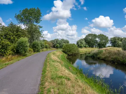
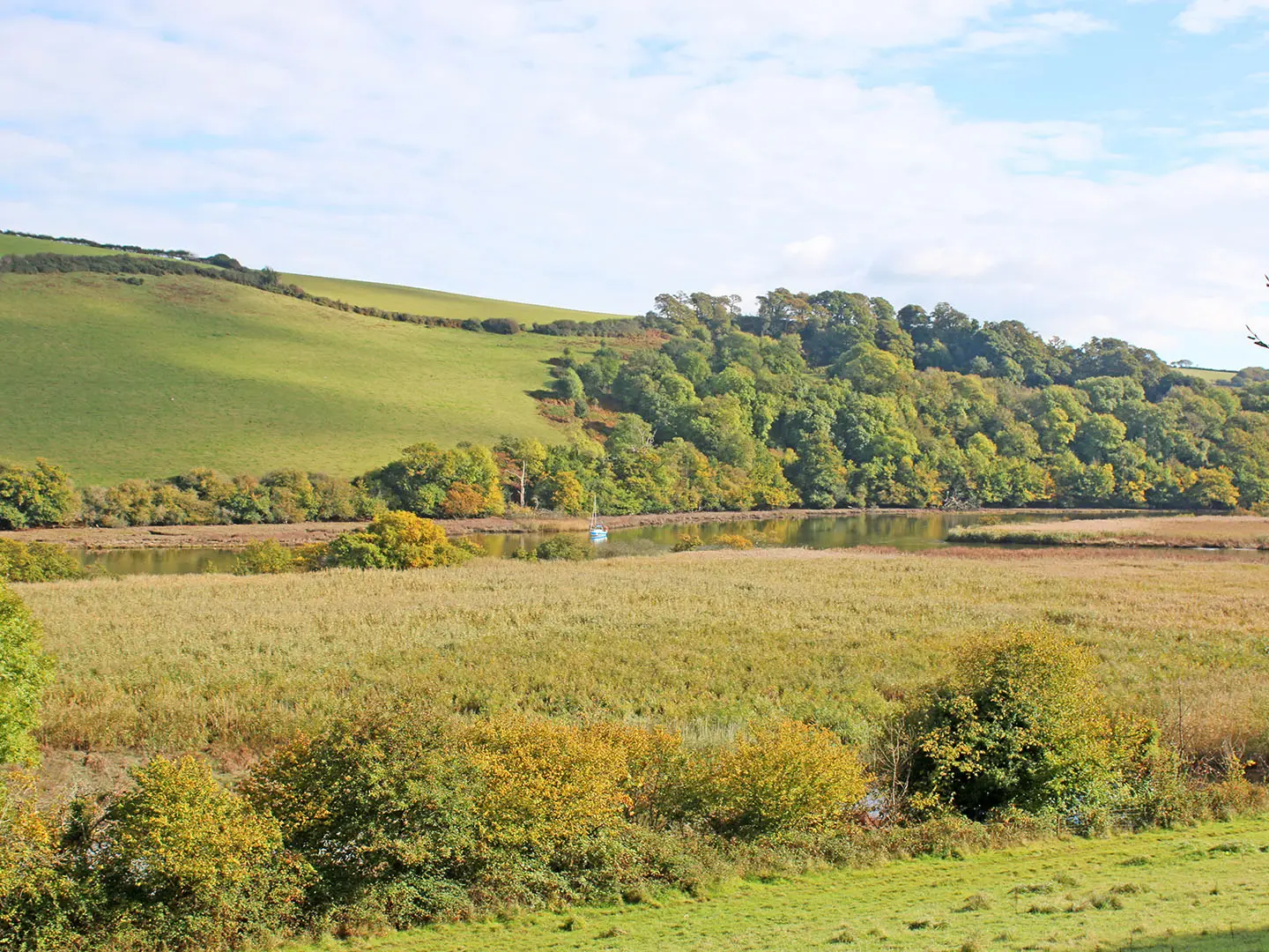
The Dart Valley Trail is a 27 km waymarked riverside walk in South Devon, England, linking Totnes with Dartmouth and Kingswear through the South Devon National Landscape. It is a moderate point-to-point route, usually walked in 1-2 days. Expect wooded riverbanks, field paths, tidal creeks, villages, ferries and repeated short climbs rather than mountain terrain. Fit walkers can do it in a long day, but two days better suit ferry timings, muddy sections and time at Dittisham, Greenway and Dartmouth.
Route Overview
Most walkers go downstream from Totnes to Dartmouth, though the LDWA lists the route Dartmouth-to-Totnes. From Totnes it follows the wooded west bank past the Sharpham Estate, Ashprington, Cornworthy and Bow Creek near Tuckenhay, then reaches Dittisham. The Greenway Ferry crosses to Greenway Quay, after which the east-bank path continues through woodland past Noss to Kingswear. A passenger ferry then links Kingswear with Dartmouth at the river mouth and the South West Coast Path. Ferries are part of the logistics, so check times before committing. If comparing other UK waterside walks, see the Ashby Canal Trail, the Anglesey Coastal Path or the Ayrshire Coastal Path.
History along the River Dart
The Dart has long been a working waterway. Crossings between Dittisham and Greenway have been made since the Bronze Age, while Totnes and Dartmouth developed as medieval trading and shipbuilding ports. Old quays, lime kilns and mills still mark the banks. Greenway was later Agatha Christie’s holiday home, bought in 1938. The Dart Valley Trail itself is a modern recreational route, registered with the LDWA and supported by a 2018 Trail Wanderer guidebook.
Notable highlights
- Totnes: The inland end of the trail and an ancient Saxon and Norman market town at the highest navigable point of the Dart. Its castle, medieval East Gate and independent shops make it the obvious place to start or stay.
- Sharpham Estate: A riverside estate south of Totnes with a vineyard, gardens and views over a horseshoe bend of the Dart. It is a worthwhile short detour if time allows.
- Bow Creek and Tuckenhay: A quiet tidal creek off the main river, with marshland, wooded water-meadow, old quays and riverside inns. This is one of the calmer rural stretches of the walk.
- Dittisham: A steep-laned fishing village on the west bank, known locally for its plums and waterfront pubs. It is also the crossing point for the Greenway Ferry.
- Greenway: Agatha Christie’s former holiday home above the east bank, now a National Trust property. The gardens run down to Greenway Quay, where the ferry lands.
- Dartmouth and Kingswear: The coastal end of the trail, reached by ferry from Kingswear. Dartmouth is a historic port at the mouth of the Dart and links directly with the South West Coast Path.
Challenges to expect
The trail is low-level but not flat: the full route has about 705 m of ascent, with repeated short, steep wooded climbs, steps and stiles. Field paths and woodland tracks can be muddy after rain, and navigation is worth checking at junctions where paths overlap. Ferries at Totnes, Dittisham-Greenway and Kingswear-Dartmouth are essential to some variants and may be seasonal or timetable-dependent.
HikeList Score
Dart Valley Trail scored 84/100 on HikeList's trail-quality metrics.
See score breakdownHide breakdown
- Ideal length 59
- Balanced challenge 100
- Scenery & wildness 85
- Varied terrain 83
- Accommodation 83
- Food & support 88
- Path quality 98
- Season flexibility 89
Computed from length, challenge, scenery & wildness, terrain variety, accommodation, food & support, path quality and season flexibility.
 United Kingdom
 England
Show more data Show less
- Forest
- River
- Rural
- Dirt
- Grass
- Gravel
- Hotels
- Guesthouses
- Campsites
- Family Friendly
- Pet Friendly
- Restrooms
- Water Sources
- Campsites
- Picnic Areas
Photos from hikers
Taken on the trail by people who've reviewed Dart Valley Trail.
Reviews
How would you rate Dart Valley Trail?
Tap a star to start your review — you could be the first.