Bollin Valley Way
How would you rate Bollin Valley Way?
Tap a star to share your experience and help other hikers.
Bollin Valley Way: Cheshire’s Low-Level River Walk
HikeList Score
Bollin Valley Way scored 63/100 on HikeList's trail-quality metrics.
See score breakdownHide breakdown
- Ideal length 59
- Balanced challenge 50
- Scenery & wildness 59
- Varied terrain 71
- Accommodation 57
- Food & support 81
- Path quality 80
- Season flexibility 89
Computed from length, challenge, scenery & wildness, terrain variety, accommodation, food & support, path quality and season flexibility.
The Bollin Valley Way is a 37 km point-to-point walk in North West England, following the River Bollin from Macclesfield Riverside Park to the Manchester Ship Canal near Partington. It is an easy, low-level route by grade, with 254 m of ascent, but the full distance makes it a long 9–12 hour day. Most walkers will find it more comfortable over 2 days. Expect riverside meadows, woodland, farmland, villages, urban-fringe paths and an unusual passage under Manchester Airport’s runway 2.
Route Overview
The route starts at Macclesfield Riverside Park and heads north-west through Prestbury, Wilmslow and Styal before continuing past Hale, Bowdon, Dunham Massey and Warburton to the Manchester Ship Canal near Partington. It is a linear, waymarked spine route, so plan transport or a pick-up at the finish rather than expecting a loop. The Bollin Valley Partnership divides it into three sections: Macclesfield to Twinneys Bridge, Twinneys Bridge to Ashley Heath, and Ashley Heath to Partington. If you like lowland linear routes, compare it with the Amber Valley Route or the canal-side Ashby Canal Trail.
Industrial heritage on the River Bollin
The Bollin Valley Way’s history is tied to river-powered industry and public access rather than ancient roads. Macclesfield was once a major silk town, while Quarry Bank Mill at Styal, founded in 1784, was a pioneering cotton mill of the Industrial Revolution. The path and the wider Bollin Valley footpath network are managed by the Bollin Valley Partnership, a countryside management service created in 1972 to protect the valley and improve access.
Notable highlights
- Quarry Bank Mill, Styal: A major National Trust property on the route, this Georgian water-powered cotton mill sits beside the River Bollin in wooded grounds and gives the walk its strongest industrial heritage link.
- Passing under Manchester Airport: One of the route’s oddest moments is the tunnel section beneath runway 2, where the path passes below airport infrastructure and aircraft activity.
- Dunham Massey: The Way crosses the National Trust estate near the finish, with a Georgian house, deer park and formal gardens nearby if you choose to visit.
- River Bollin and Styal woods: The most attractive walking is along the river corridor, especially through the wooded valley around Styal, with meadows, viaducts and regular waterside views.
- Manchester Ship Canal finish: The end near Partington and Warburton is a clear change in character, from rural valley walking to the industrial waterway edge of Greater Manchester.
Challenges to expect
The Bollin Valley Way is easy underfoot by long-distance path standards, but it is still about 37 km if walked in one push. The main challenges are distance, muddy low-lying riverside paths after rain, mixed surfaces and urban-fringe navigation around Wilmslow, Manchester Airport, Hale and Partington. Waymarking helps, but carry OS Explorer 268 and 276 or a reliable offline map.
HikeList Score
Bollin Valley Way scored 63/100 on HikeList's trail-quality metrics.
See score breakdownHide breakdown
- Ideal length 59
- Balanced challenge 50
- Scenery & wildness 59
- Varied terrain 71
- Accommodation 57
- Food & support 81
- Path quality 80
- Season flexibility 89
Computed from length, challenge, scenery & wildness, terrain variety, accommodation, food & support, path quality and season flexibility.
Show more data Show less
- Forest
- Urban
- Dirt
- Gravel
- Paved
- Hotels
- Family Friendly
- Pet Friendly
- Restrooms
- Water Sources
- Picnic Areas
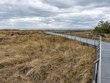
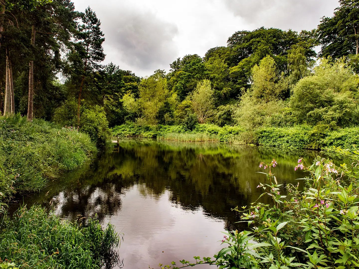
Photos from hikers
Taken on the trail by people who've reviewed Bollin Valley Way.
Start at Macclesfield Riverside Park and follow the Bollin valley north-west towards Prestbury, continuing through riverside and village-edge walking to Twinneys Bridge at Styal.
Continue through Styal, passing Quarry Bank Mill, then follow the route under Manchester Airport runway 2 via tunnels before reaching Rossmill Woodland and Ashley Heath.
The final section passes Hale, Bowdon, Dunham Massey, Warburton, Dunham Woodhouses and Mossbrow before finishing by the Manchester Ship Canal near Partington.
Reviews
How would you rate Bollin Valley Way?
Tap a star to start your review — you could be the first.