Tour du Mont Blanc (Italian Segment)
How would you rate Tour du Mont Blanc (Italian Segment)?
Tap a star to share your experience and help other hikers.
Tour du Mont Blanc Italian Segment: A High Alpine TMB Traverse
HikeList Score
Tour du Mont Blanc (Italian Segment) scored 84/100 on HikeList's trail-quality metrics.
See score breakdownHide breakdown
- Ideal length 70
- Balanced challenge 80
- Scenery & wildness 78
- Varied terrain 100
- Accommodation 92
- Food & support 88
- Path quality 98
- Season flexibility 76
Computed from length, challenge, scenery & wildness, terrain variety, accommodation, food & support, path quality and season flexibility.
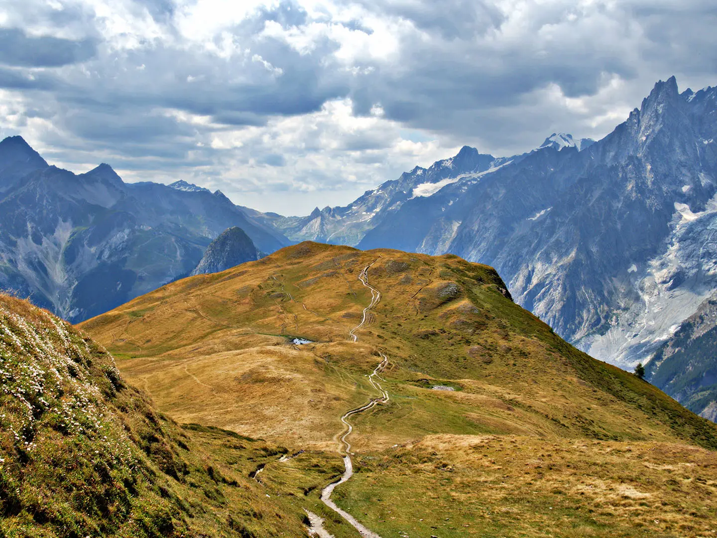
The Tour du Mont Blanc Italian Segment is a roughly 45 km, 3-day point-to-point section of the TMB through the Aosta Valley in Italy. It links the France/Italy border at Col de la Seigne with Courmayeur, Val Veny, Val Ferret and the Switzerland border at Grand Col Ferret. This is hard, strenuous mountain trekking: expect sustained climbs and descents, rocky paths, high passes and fast-changing alpine weather. It suits fit hikers already comfortable with hut-to-hut walking.
Route Overview
In the standard anticlockwise Tour du Mont Blanc direction, the Italian side runs from Col de la Seigne into Val Veny, past Rifugio Elisabetta Soldini and Lac Combal, then down towards Courmayeur. From Courmayeur the route climbs via Rifugio Bertone onto the Val Ferret balcony path, passes Rifugio Bonatti and Rifugio Elena, then exits Italy over Grand Col Ferret. This is a point-to-point segment of the wider TMB loop, not a standalone circuit. Verified transport details are not included in the brief, so plan access around Courmayeur and your onward TMB leg. For other Italian hut-to-hut routes, compare the Gran Paradiso Trek, Alta Via 1 or Alta Via 2.
History of the Italian TMB Route
Col de la Seigne and the Ferret valleys were used as trans-alpine crossings between the Aosta Valley, France and Switzerland by shepherds, traders and travellers before modern roads. The Tour du Mont Blanc developed as a recognised walking circuit during the growth of alpinism and mountain tourism around Chamonix and Courmayeur in the 19th and 20th centuries. The official route has changed over time, and several variants still exist. Rifugio Bonatti commemorates Walter Bonatti, one of Italy’s best-known mountaineers.
Notable highlights
- Courmayeur: A lively mountaineering town in the Aosta Valley and the largest town on the whole TMB. It is the main services and accommodation hub for the Italian section.
- Val Veny: A glacial valley on the south side of Mont Blanc, with alpine meadows, glacier views and the approach to Rifugio Elisabetta Soldini.
- Lac Combal: A turquoise glacial lake and floodplain in Val Veny. It is a popular rest stop with open views towards the surrounding peaks.
- Col de la Seigne (2,516 m): The France/Italy border pass. In the anticlockwise direction it gives the first major descent into Italy and Val Veny.
- Val Ferret and Rifugio Bonatti: Val Ferret is a broad pastoral valley facing the Grandes Jorasses and Mont Dolent. Rifugio Bonatti, at about 2,025–2,030 m, sits on the balcony path with wide views across the massif.
- Grand Col Ferret (2,537 m): The Italy/Switzerland border pass and the high point of this segment. It marks the exit from Italy towards the Swiss Val Ferret.
Challenges to expect
Expect a strenuous alpine route with long climbs, steep descents and rough rock, scree, dirt and gravel underfoot. The two major passes, Col de la Seigne and Grand Col Ferret, are high enough for lingering snow early in the season and rapid weather changes at any time. Refuge beds need booking well ahead, especially in July and August. Wild camping in Italy is heavily restricted, so plan hut or campsite nights in advance.
HikeList Score
Tour du Mont Blanc (Italian Segment) scored 84/100 on HikeList's trail-quality metrics.
See score breakdownHide breakdown
- Ideal length 70
- Balanced challenge 80
- Scenery & wildness 78
- Varied terrain 100
- Accommodation 92
- Food & support 88
- Path quality 98
- Season flexibility 76
Computed from length, challenge, scenery & wildness, terrain variety, accommodation, food & support, path quality and season flexibility.
 Italy
ItalyShow more data Show less
- Mountainous
- Alpine Pasture
- Forest
- Glacial Valleys
- Dirt
- Rocky
- Scree
- Gravel
- Snow
- Huts
- Hotels
- Guesthouses
- Campsites
- Pet Friendly
- Restrooms
- Water Sources
- Campsites
- Shelters
Photos from hikers
Taken on the trail by people who've reviewed Tour du Mont Blanc (Italian Segment).
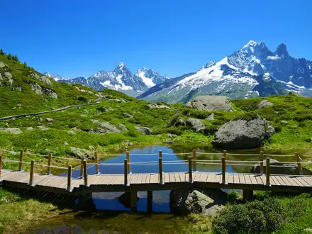
Enter Italy at Col de la Seigne, descend into upper Val Veny, pass Rifugio Elisabetta Soldini and Lac Combal, then continue through Val Veny towards Courmayeur. The Rifugio Elisabetta to Courmayeur section is verified at about 17 km; the full day distance from the pass is not verified in the brief.
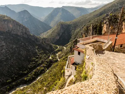
Leave Courmayeur and climb towards Rifugio Bertone, then follow the Val Ferret balcony route to Rifugio Bonatti. This stage gives sustained views towards the Grandes Jorasses and the eastern side of the Mont Blanc massif.
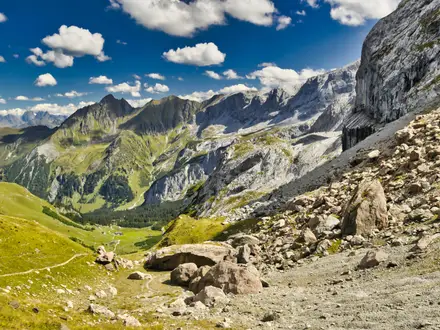
Continue along Val Ferret, passing towards Rifugio Elena before the final ascent to Grand Col Ferret. The pass is the high point of the Italian segment and marks the border crossing into Switzerland.
Reviews
How would you rate Tour du Mont Blanc (Italian Segment)?
Tap a star to start your review — you could be the first.