The Cinder Track
How would you rate The Cinder Track?
Tap a star to share your experience and help other hikers.
The Cinder Track: Scarborough to Whitby on a Coastal Rail Trail
HikeList Score
The Cinder Track scored 76/100 on HikeList's trail-quality metrics.
See score breakdownHide breakdown
- Ideal length 59
- Balanced challenge 60
- Scenery & wildness 85
- Varied terrain 83
- Accommodation 92
- Food & support 75
- Path quality 80
- Season flexibility 89
Computed from length, challenge, scenery & wildness, terrain variety, accommodation, food & support, path quality and season flexibility.
The Cinder Track is a 35 km point-to-point rail trail on the North Yorkshire coast in England, linking Scarborough and Whitby. It is an easy walk or ride on gentle former railway gradients, usually done as a long one-day walk or split over 1-2 days. It suits walkers, families, cyclists and horse riders, but the middle sections can be rough, stony and muddy after rain, so it feels harder than the gradient suggests.
Route Overview
Start in Scarborough behind Sainsbury's off Falsgrave Road, by Safe Ways Park, then follow the old railway north through Scalby, Burniston, Cloughton and Hayburn Wyke. The route continues via Staintondale to Ravenscar, the high point at 192 m, before dropping towards Fyling Hall, Robin Hood's Bay, Hawsker, Stainsacre and Larpool Viaduct into Whitby. It is a point-to-point route on National Cycle Network Route 1, with trains and buses at both ends for the return. For other coastal route ideas, compare the Anglesey Coastal Path or Arran Coastal Way; for an easier traffic-free feel, see the Ashby Canal Trail.
From Scarborough & Whitby Railway to Public Trail
The Cinder Track follows the trackbed of the Scarborough & Whitby Railway, constructed between 1872 and 1885 and opened on 16 July 1885. The scenic but steeply graded coastal line was listed in the 1963 Beeching Report and closed on 8 March 1965. Track lifting began in 1968, with the final Hawsker-Whitby section removed by 1972. Around 1990 the corridor reopened as a public walking, cycling and horse-riding path, with later section upgrades under the Scarborough Town Deal from 2020.
Notable highlights
- Larpool Viaduct (13-arch brick viaduct): Carries the trail 37 m above the River Esk on the approach to Whitby. It is the most dramatic built structure on the route and gives a clear sense of the old railway line.
- Ravenscar (192 m high point): The summit of the former line, with a National Trust visitor centre and wide views over Robin Hood's Bay. It is also a natural break point between the Scarborough and Whitby halves.
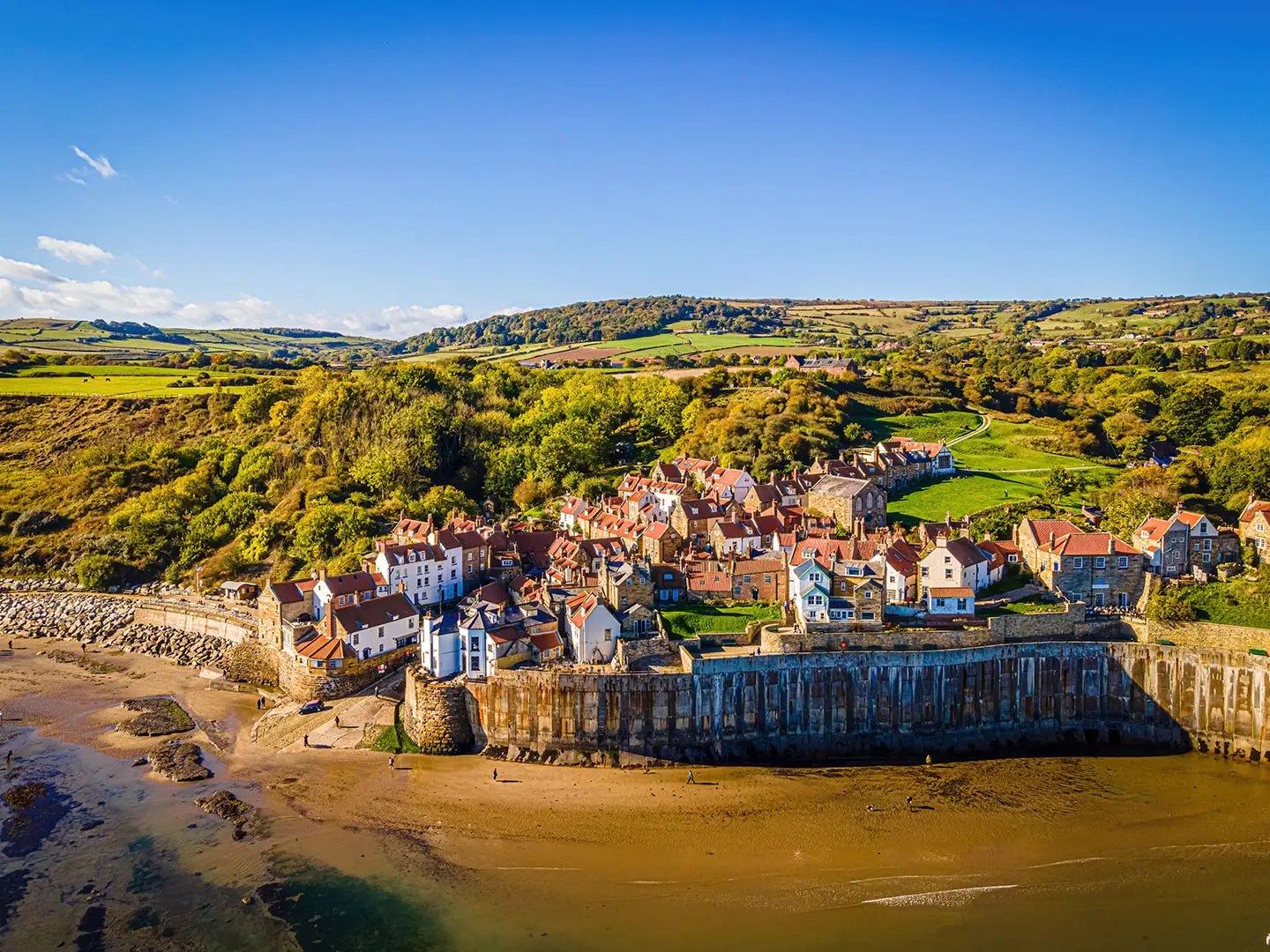
- Robin Hood's Bay: A steep old fishing and smuggling village just off the trail, known for its tightly packed cottages dropping towards the shore. It is one of the best refreshment stops on the route.
- Hayburn Wyke: A wooded coastal ravine where a stream runs down to the sea, with a small waterfall and the Hayburn Wyke Inn nearby. Expect a more sheltered, woodland feel here than on the open clifftop sections.
- Whitby: The northern finish is a harbour town known for its ruined clifftop abbey, Dracula links and Captain Cook associations. The trail enters via Larpool Viaduct before dropping towards the town centre.
Challenges to expect
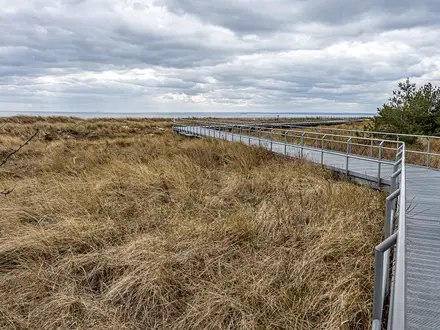
The Cinder Track is easy in gradient but not always smooth. The middle sections, especially Scalby-Cloughton and Ravenscar-Robin Hood's Bay, can be rough, stony and muddy, so boots are sensible after rain and a gravel or mountain bike is better than a road bike. The full 35 km is a long day on foot. Winter mud is the main seasonal issue; late spring to early autumn is usually firmer.
HikeList Score
The Cinder Track scored 76/100 on HikeList's trail-quality metrics.
See score breakdownHide breakdown
- Ideal length 59
- Balanced challenge 60
- Scenery & wildness 85
- Varied terrain 83
- Accommodation 92
- Food & support 75
- Path quality 80
- Season flexibility 89
Computed from length, challenge, scenery & wildness, terrain variety, accommodation, food & support, path quality and season flexibility.
 United Kingdom
 England
Show more data Show less
- Coastal
- Rural
- Woodland
- Gravel
- Compacted Earth
- Tarmac
- Hotels
- Campsites
- Hostels
- B&B
- Family Friendly
- Pet Friendly
- Restrooms
- Campsites
- Picnic Areas
In these collections
Photos from hikers
Taken on the trail by people who've reviewed The Cinder Track.
Reviews
How would you rate The Cinder Track?
Tap a star to start your review — you could be the first.