The Ackling Dyke
How would you rate The Ackling Dyke?
Tap a star to share your experience and help other hikers.
The Ackling Dyke: Badbury Rings Roman Road Walk
HikeList Score
The Ackling Dyke scored 61/100 on HikeList's trail-quality metrics.
See score breakdownHide breakdown
- Ideal length 55
- Balanced challenge 50
- Scenery & wildness 71
- Varied terrain 83
- Accommodation 49
- Food & support 38
- Path quality 98
- Season flexibility 89
Computed from length, challenge, scenery & wildness, terrain variety, accommodation, food & support, path quality and season flexibility.
The Ackling Dyke is a walkable Roman road and public right of way in Dorset and Wiltshire, England, not a formal waymarked long-distance trail. The best-documented walk is the 8.5 km King Down and Ackling Dyke circular from Blandford Lodge car park near Badbury Rings. It is an easy half-day loop, taking about 3.5 hours, on firm farm tracks, grass and gravel across gently rolling chalk downland. It suits walkers who want a short countryside route with unusually visible Roman engineering and prehistoric earthworks.
Route Overview
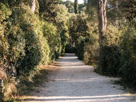
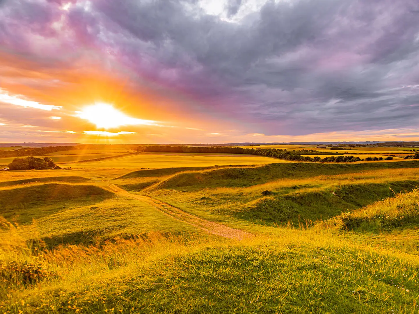
The featured route starts and finishes at Blandford Lodge car park (National Trust), off the B3082 near Wimborne, and makes a circular walk around Badbury Rings, King Down and the surviving Ackling Dyke agger. Expect open chalk downland, arable fields, grassy bridleways, hedgerows and short woodland sections, with no stiles on the documented circular. Key features include the Iron Age hillfort at Badbury Rings, two Bronze Age barrows on King Down, the raised Roman road embankment and the Kingston Lacy beech avenue. There are no on-route facilities, so carry water. For other lowland heritage walks, compare the Amber Valley Route or the waterside Ashby Canal Trail.
Roman Road, Older Landscape
Built during the Roman occupation, the Ackling Dyke formed part of the strategic route from London and Silchester via Old Sarum towards Exeter. It linked Old Sarum to Badbury Rings, with onward connections towards Dorchester and Hamworthy harbour. Its straight alignment cuts through older monuments, including the Dorset Cursus and Bronze Age barrows at Oakley Down, showing Roman road-building imposed across an existing prehistoric landscape. Parts are Scheduled Monuments, and some sections are at risk from ploughing, burrowing animals and root damage.
Notable highlights
- Ackling Dyke Roman Agger: The raised Roman road embankment survives in places up to 50 ft (15 m) wide and 6 ft (1.8 m) high, unusually broad for a Roman road and easy to read underfoot.
- Badbury Rings Hillfort: A multi-ramparted Iron Age hillfort at about 100 m, later Roman Vindocladia, with concentric earthworks and open views across the downland.
- King Down Barrows: Two Bronze Age burial mounds sit beside the circular route, part of the prehistoric funerary landscape crossed by the Roman road.
- Kingston Lacy Beech Avenue: A long avenue of beech trees planted in 1835, giving the lowland section of the walk a distinctive landmark.
- Oakley Down Barrow Cemetery: Further north-east on the wider Roman road, this Bronze Age barrow field near Sixpenny Handley has around 30 barrows, with the Ackling Dyke driven through it.
- Dorset Cursus Crossing at Wyke Down: The wider Roman road cuts across the Dorset Cursus, a vast Neolithic earthwork and Britain’s largest cursus monument.
Challenges to expect
This is an easy walk, but it is exposed: open downland gives little shelter from sun, wind or rain. A short bridleway section can become muddy or slippery after wet weather, and the grassy agger may be uneven underfoot. Navigation is not difficult on the documented circular, but remember this is not a formal waymarked named trail. There are no facilities on the open sections, so bring water.
HikeList Score
The Ackling Dyke scored 61/100 on HikeList's trail-quality metrics.
See score breakdownHide breakdown
- Ideal length 55
- Balanced challenge 50
- Scenery & wildness 71
- Varied terrain 83
- Accommodation 49
- Food & support 38
- Path quality 98
- Season flexibility 89
Computed from length, challenge, scenery & wildness, terrain variety, accommodation, food & support, path quality and season flexibility.
Show more data Show less
- Chalk Downland
- Arable Farmland
- Woodland
- Farm Tracks
- Grass
- Gravel
- Wild camping spots
- Family Friendly
- Pet Friendly
- None
Photos from hikers
Taken on the trail by people who've reviewed The Ackling Dyke.
Reviews
How would you rate The Ackling Dyke?
Tap a star to start your review — you could be the first.