Roztocze National Park Trail
How would you rate Roztocze National Park Trail?
Tap a star to share your experience and help other hikers.
Roztocze National Park Trail: Zwierzyniec Forest Walk
HikeList Score
Roztocze National Park Trail scored 82/100 on HikeList's trail-quality metrics.
See score breakdownHide breakdown
- Ideal length 55
- Balanced challenge 100
- Scenery & wildness 74
- Varied terrain 100
- Accommodation 83
- Food & support 88
- Path quality 92
- Season flexibility 89
Computed from length, challenge, scenery & wildness, terrain variety, accommodation, food & support, path quality and season flexibility.
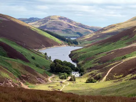
The Roztocze National Park Trail is a 16 km, 1-day moderate walk in Roztocze National Park, south-eastern Poland, centred on Zwierzyniec in Lublin Voivodeship. It is not an official trail name: the main waymarked through-route here is the blue-marked Central Roztocze Trail, a 143 km linear route from Bełżec to Szastarka. This listing covers a shorter in-park day section suited to hikers who want quiet beech-fir forest, low hills, loess tracks and a manageable climb to Bukowa Góra.
Route Overview
Use Zwierzyniec as the practical base: park headquarters, the Education and Museum Centre, trailheads and the Church on the Water are all here. The Central Roztocze Trail is a point-to-point route running north–south across Polish Roztocze from Bełżec to Szastarka; inside the park it passes places including Zwierzyniec, Stara Huta and Senderek. Many visitors instead make day walks around Zwierzyniec, especially Bukowa Góra and the Echo Ponds. Access is centred on Zwierzyniec, about 30 km south of Zamość and roughly 95 km from Lublin. For other lowland forest hiking, compare Białowieża Forest Trails, Kampinos National Park Trail and Drawa National Park Trail.
History of Roztocze and Zwierzyniec
The Roztocze hills formed part of the Zamoyski family estate, whose ordynacja was founded in 1589. Zwierzyniec — meaning “menagerie” — takes its name from a 16th-century private game park created by Jan Zamoyski. Formal nature protection began in 1934, and Roztocze National Park was established in 1974 to protect the central Roztocze’s beech-fir forests, loess ravines and river valleys.
Notable highlights
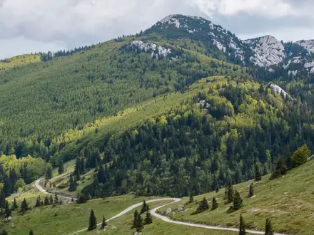
- Bukowa Góra (about 310 m): The park’s best-known viewpoint and highest point reachable within the national park. The roughly 2.5 km nature path climbs through old beech forest, with a steep stepped final ascent of about 80 m.
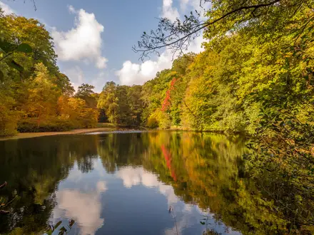
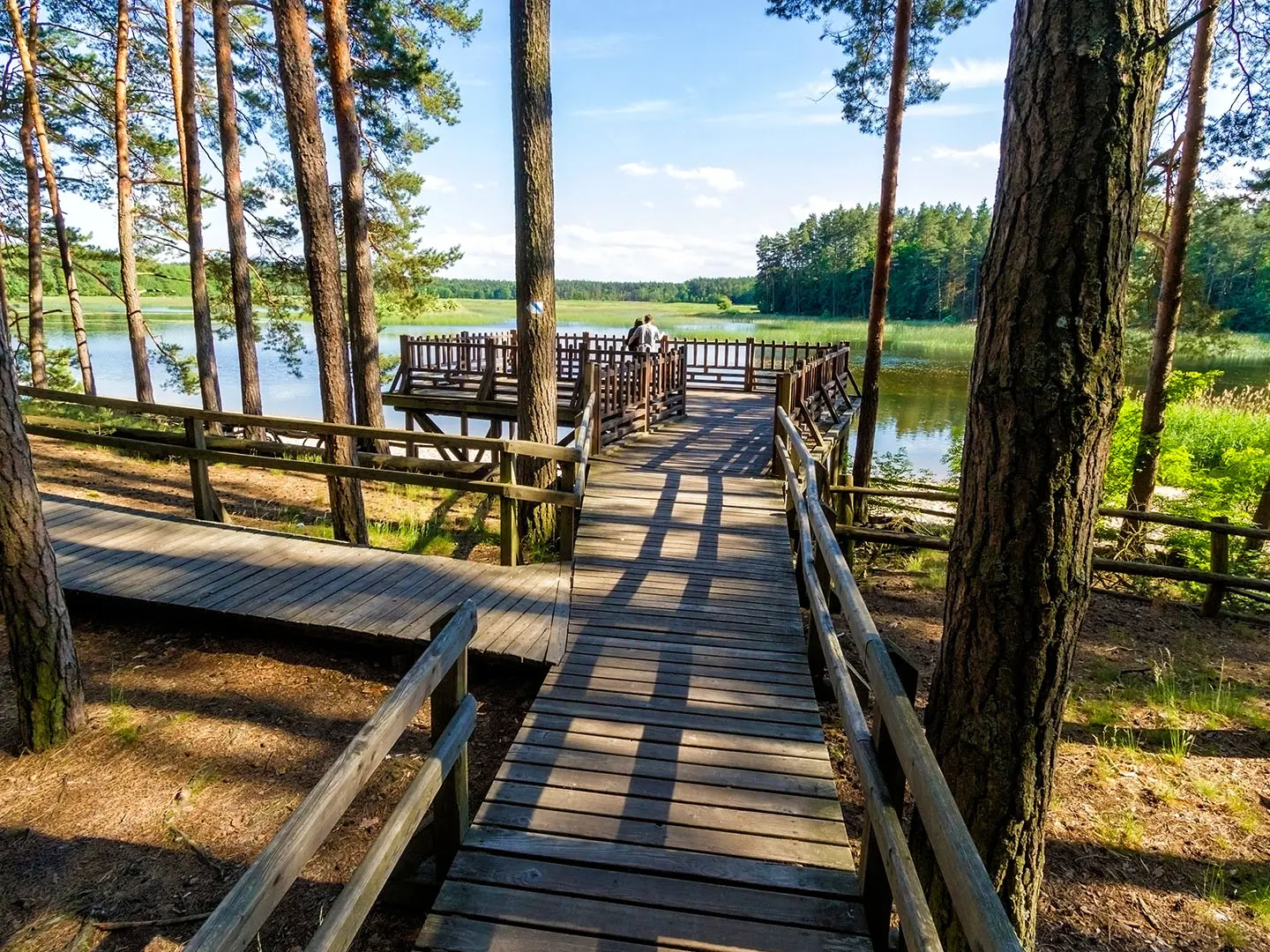
- Echo Ponds (Stawy Echo): Former fish ponds in the Świerszcz stream floodplain, framed by forest. An observation point looks towards the nearby Konik horse reserve.
- Polish Konik horses: The park’s emblem: a hardy semi-wild breed descended from the extinct forest tarpan. They are kept in reserves near the Echo Ponds and at Florianka.
- European beavers: Reintroduced in 1979 and now thriving in the Wieprz valley. Their dams and lodges are a key wetland feature, interpreted on a dedicated nature trail.
- Loess ravines: Steep wooded gullies cut into wind-blown loess. They are atmospheric walking terrain but can become slippery and muddy after rain.
- Church on the Water: The 18th-century Baroque chapel of St John Nepomucen, set on a small island in a Zwierzyniec pond and a key local landmark.
Challenges to expect
This is moderate rather than mountainous. Most walking is on gentle, well-marked forest tracks, sandy or loess paths, with some asphalt lanes near Zwierzyniec. The main effort is Bukowa Góra’s stepped climb, about 80 m of ascent. Loess ravines can be slick after heavy rain. In summer, expect more visitors and ticks; after the first autumn frosts ticks are fewer. Wild camping is restricted inside the park.
HikeList Score
Roztocze National Park Trail scored 82/100 on HikeList's trail-quality metrics.
See score breakdownHide breakdown
- Ideal length 55
- Balanced challenge 100
- Scenery & wildness 74
- Varied terrain 100
- Accommodation 83
- Food & support 88
- Path quality 92
- Season flexibility 89
Computed from length, challenge, scenery & wildness, terrain variety, accommodation, food & support, path quality and season flexibility.
 Poland
Show more data Show less
- Forest
- Hills
- River Meadows
- Loess Ravines
- Ponds
- Forest Paths
- Sandy Tracks
- Loess Tracks
- Asphalt Lanes
- Stepped Boardwalk
- Guesthouses
- Hotels
- Agritourism Farms
- Family Friendly
- Pet Friendly
- Restrooms
- Water Sources
- Campsites
- Picnic Areas
Photos from hikers
Taken on the trail by people who've reviewed Roztocze National Park Trail.
Reviews
How would you rate Roztocze National Park Trail?
Tap a star to start your review — you could be the first.