Royal Canal Greenway
How would you rate Royal Canal Greenway?
Tap a star to share your experience and help other hikers.
Royal Canal Greenway: 130 km Canal Towpath Across Ireland
HikeList Score
Royal Canal Greenway scored 67/100 on HikeList's trail-quality metrics.
See score breakdownHide breakdown
- Ideal length 78
- Balanced challenge 50
- Scenery & wildness 58
- Varied terrain 64
- Accommodation 57
- Food & support 88
- Path quality 71
- Season flexibility 100
Computed from length, challenge, scenery & wildness, terrain variety, accommodation, food & support, path quality and season flexibility.
The Royal Canal Greenway is a 130 km off-road towpath route in Ireland, running from Maynooth harbour in County Kildare to Cloondara in County Longford, where the canal meets the River Shannon. It is an Easy, point-to-point trail on flat canal-side terrain, usually walked in 4 brisk days, though 5–6 days is more relaxed. It suits walkers, runners and cyclists who want low-gradient distance, regular towns and straightforward logistics rather than mountain terrain.
Route Overview
The Greenway runs east to west from Maynooth through Kilcock, Enfield, Longwood, Mullingar, Ballynacarrigy, Abbeyshrule, Ballymahon and Longford, finishing at Cloondara. It crosses Kildare, Meath, Westmeath and Longford on a flat former towpath, with roughly equal bound asphalt and compacted gravel surfaces. The main trailheads are Maynooth, Enfield, Mullingar, Longford town and Cloondara, with 14 access points for shorter stages. It also forms part of EuroVelo 2 and the wider Dublin-to-Galway greenway network. For another Irish off-road cycling and walking route, compare the Great Western Greenway.
Royal Canal History
The Royal Canal was built to link Dublin’s River Liffey with the upper River Shannon. Construction began in 1790, and the canal reached the Shannon in 1817. After commercial decline in the 20th century, it closed to navigation in 1961, then was progressively restored and fully reopened to boats in 2010. The Greenway opened in March 2021 along the restored towpath; at opening, it became the longest greenway in Ireland.
Notable highlights
- Mullingar Harbour: The midpoint hub and the canal’s largest harbour, split by Scanlan’s Bridge into commercial and amenity sides. Old store houses and the dry dock give a clear sense of the canal’s working past.
- Whitworth Aqueduct: Just north of Abbeyshrule, this large stone aqueduct carries the canal and towpath over the River Inny. Built from 1814–17 to John Killaly’s design, it is one of the route’s key engineering landmarks.
- Boyne Aqueduct at Longwood Harbour: A handsome stone aqueduct carrying the Royal Canal high over the River Boyne. It is one of the most photographed structures on the Greenway.
- Corlea Trackway: A short detour from the Ballymahon area leads to Corlea Bog and its visitor centre. The preserved Iron Age oak togher, felled in 148 BC, is the largest of its kind found in Europe.
- Cloondara harbour and the Shannon: The western finish, where the canal drops through Lock 45 to meet the River Shannon. It makes a clear, satisfying end point for the point-to-point walk.
Challenges to expect
The difficulty is not climbing but distance: 4 days means about 32 km per day on flat ground, so many walkers will prefer 5–6 days. Older unbound sections can be wet or muddy, and the canal corridor is exposed in poor weather. Expect shared use with cyclists and runners. If you want a hillier Irish walk instead, look at the Dingle Way or Beara Way.
HikeList Score
Royal Canal Greenway scored 67/100 on HikeList's trail-quality metrics.
See score breakdownHide breakdown
- Ideal length 78
- Balanced challenge 50
- Scenery & wildness 58
- Varied terrain 64
- Accommodation 57
- Food & support 88
- Path quality 71
- Season flexibility 100
Computed from length, challenge, scenery & wildness, terrain variety, accommodation, food & support, path quality and season flexibility.
Show more data Show less
- Flat
- Canal Towpath
- Paved
- Gravel
- Hotels
- Wheelchair Accessible
- Stroller Accessible
- Family Friendly
- Pet Friendly
- Restrooms
- Water Sources
- Picnic Areas
- Campsites
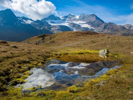
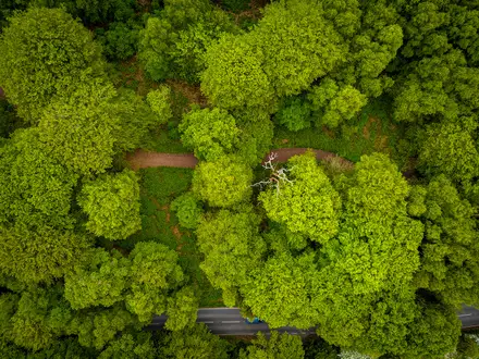
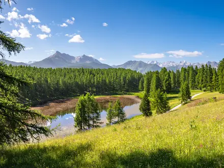
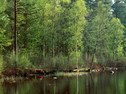
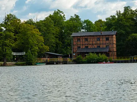
Photos from hikers
Taken on the trail by people who've reviewed Royal Canal Greenway.
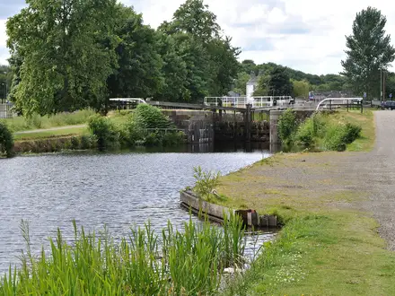
Beginning in Maynooth, the trail follows the canal through the picturesque towns of Kilcock, Moyvalley, and into Enfield. This section features well-maintained towpath surfaces, a mixture of paved and gravel, and passes a series of historic lock gates, scenic bridges, and local wildlife habitats. Along the way, you'll find rest stops, canal-side cafes, and points of interest including Leixlip and Kilcock Harbours. Enfield offers a range of amenities and makes for a convenient overnight stop.
Departing Enfield, this day’s route heads west, passing through rural landscapes and quiet villages like Longwood and Hill of Down. The trail remains predominantly flat and easy, with a blend of gravel and dirt underfoot, and occasional canal-side benches for rest. Wildlife sightings are common in this less urban environment. You will cross multiple canal bridges and appreciate the open countryside before reaching Mullingar, a lively town with accommodation and food options.
Leaving Mullingar, the route continues along the Royal Canal, traversing open countryside interspersed with woodlands and wetlands. Highlights include passing secluded moorings and restored lock-keepers’ cottages. The section between Abbeyshrule and Ballymahon features scenic picnic spots and greater stretches of natural surface track. The day ends in Ballymahon, a welcoming village with small-town charm and local amenities.
From Ballymahon, the final stretch heads northwest towards the confluence of the canal with the River Shannon at Cloondara. Walkers follow rural towpaths through peaceful countryside and small bridges, occasionally glimpsing local birdlife and historic canal features. The route concludes at Richmond Harbour, Cloondara, an excellent spot to celebrate completing the Royal Canal Greenway with views of the harbor and interpretive displays about the area’s canal heritage.
Reviews
How would you rate Royal Canal Greenway?
Tap a star to start your review — you could be the first.