Rätikon High Trail
How would you rate Rätikon High Trail?
Tap a star to share your experience and help other hikers.
Rätikon High Trail: A 4-Day Lünersee Hut Circuit
HikeList Score
Rätikon High Trail scored 73/100 on HikeList's trail-quality metrics.
See score breakdownHide breakdown
- Ideal length 78
- Balanced challenge 80
- Scenery & wildness 78
- Varied terrain 64
- Accommodation 49
- Food & support 72
- Path quality 98
- Season flexibility 76
Computed from length, challenge, scenery & wildness, terrain variety, accommodation, food & support, path quality and season flexibility.
The Rätikon High Trail is a 45 km, 4-day hut-to-hut loop through the limestone Rätikon range on the Austria–Switzerland border. Starting and finishing at the Lünersee in Vorarlberg, it links Austrian Rätikon Höhenweg Nord terrain with the Swiss Prättigauer Höhenweg. The route is hard overall: the first three days are easier alpine walking, but the final Schesaplana stage is high, steep and exposed. It suits sure-footed hikers with hut experience planning a summer or early-autumn trip in Austria.
Route Overview
The circuit starts and ends at Lünersee / Douglasshütte, reached by the Lünerseebahn cableway from Brand in the Brandnertal/Montafon, Vorarlberg. It is a true loop, not a Brand-to-Montafon point-to-point route. The four-day itinerary crosses between Austria and Switzerland, passing key Rätikon huts and places including Lindauer Hütte, Tilisunahütte, Carschinahütte, Schesaplanahütte, the Schweizertor border gateway and the Schesaplana summit. For easier nearby walking before or after the trek, see the Brandnertal Valley Trails; for longer Austrian hut routes, compare the Eagle Walk and the Carnic High Trail.
Rätikon history and Alpine heritage
The Rätikon takes its name from Raetia, the Roman province associated with the Rhaetian people. Its limestone peaks formed during the Alpine orogeny, and the Schweizertor has long served as a natural pass between the Prättigau and the Montafon. Walser settlers shaped high pastures and villages such as St. Antönien, while the south faces of the Drusenfluh and Drei Türme became important to modern Alpine rock climbing in the 1920s–30s.
Notable highlights
- Lünersee / Douglasshütte: The circuit starts and finishes beside this large turquoise reservoir lake beneath the Schesaplana, one of Vorarlberg’s most photographed alpine lakes.
- Schesaplana (2,964 m): The highest summit of the Rätikon is crossed on the final stage, giving wide views across Austria, Switzerland and Liechtenstein in clear conditions.
- Schweizertor (Swiss Gate): A dramatic natural rock portal between the Kirchlispitzen and Drusenfluh, marking the Austria–Switzerland border crossing.
- Drusenfluh and the Drei Türme: Vertical limestone walls up to about 600 m high, known as a classic Rätikon rock-climbing arena since the 1920s–30s.
- Lindauer Hütte: A historic Austrian Alpine Club hut beneath the Drei Türme and a key overnight stop on the Austrian side of the circuit.
- Sulzfluh: A limestone peak known for caves and the local “Sulzfluhkalk” limestone, visible across the Tilisuna basin.
Challenges to expect
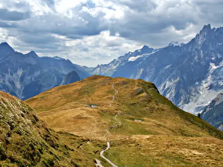
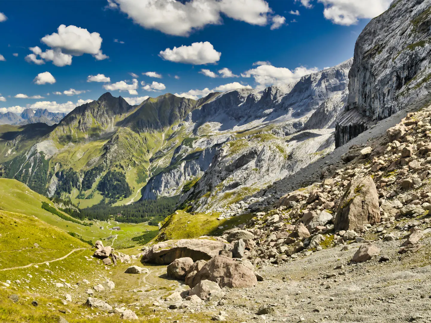
Expect high limestone alpine terrain: grassy slopes, alpine pasture, scree, boulder fields and exposed rocky ground. The main difficulty is the final stage over Schesaplana, which is strenuous, steep, loose and unstable in places, around T3–T4. Sure-footedness, poles and stiff boots are needed. Go when huts are open and high crossings are snow-free, roughly late June to late September.
HikeList Score
Rätikon High Trail scored 73/100 on HikeList's trail-quality metrics.
See score breakdownHide breakdown
- Ideal length 78
- Balanced challenge 80
- Scenery & wildness 78
- Varied terrain 64
- Accommodation 49
- Food & support 72
- Path quality 98
- Season flexibility 76
Computed from length, challenge, scenery & wildness, terrain variety, accommodation, food & support, path quality and season flexibility.
 Austria
Show more data Show less
- Mountainous
- Alpine Meadow
- Dirt
- Rocky
- Huts
- Pet Friendly
- Restrooms
- Water Sources
- Campsites
- Shelters
In these collections
Photos from hikers
Taken on the trail by people who've reviewed Rätikon High Trail.
Start at Lünersee / Douglasshütte after reaching the lake by the Lünerseebahn from Brand. This opening stage begins the hut-to-hut circuit through Austrian Rätikon limestone terrain.
Continue through the Austrian side of the Rätikon, with alpine pasture, grassy slopes and rocky high-trail terrain. Key huts and places on the circuit include Lindauer Hütte and Tilisunahütte.
Cross into the Swiss side of the range on the Prättigauer Höhenweg section in Graubünden. Notable places on this part of the circuit include Carschinahütte, Schesaplanahütte and the Schweizertor border gateway.
The final stage climbs over Schesaplana (2,964 m), the highest point of the standard circuit. This is the hardest day: high-alpine, exposed, steep and loose before returning to Lünersee.
Reviews
How would you rate Rätikon High Trail?
Tap a star to start your review — you could be the first.