Pentland Hills Regional Park
How would you rate Pentland Hills Regional Park?
Tap a star to share your experience and help other hikers.
Pentland Hills Regional Park: Edinburgh’s Classic Ridge Loop
HikeList Score
Pentland Hills Regional Park scored 79/100 on HikeList's trail-quality metrics.
See score breakdownHide breakdown
- Ideal length 55
- Balanced challenge 100
- Scenery & wildness 68
- Varied terrain 100
- Accommodation 75
- Food & support 88
- Path quality 87
- Season flexibility 89
Computed from length, challenge, scenery & wildness, terrain variety, accommodation, food & support, path quality and season flexibility.
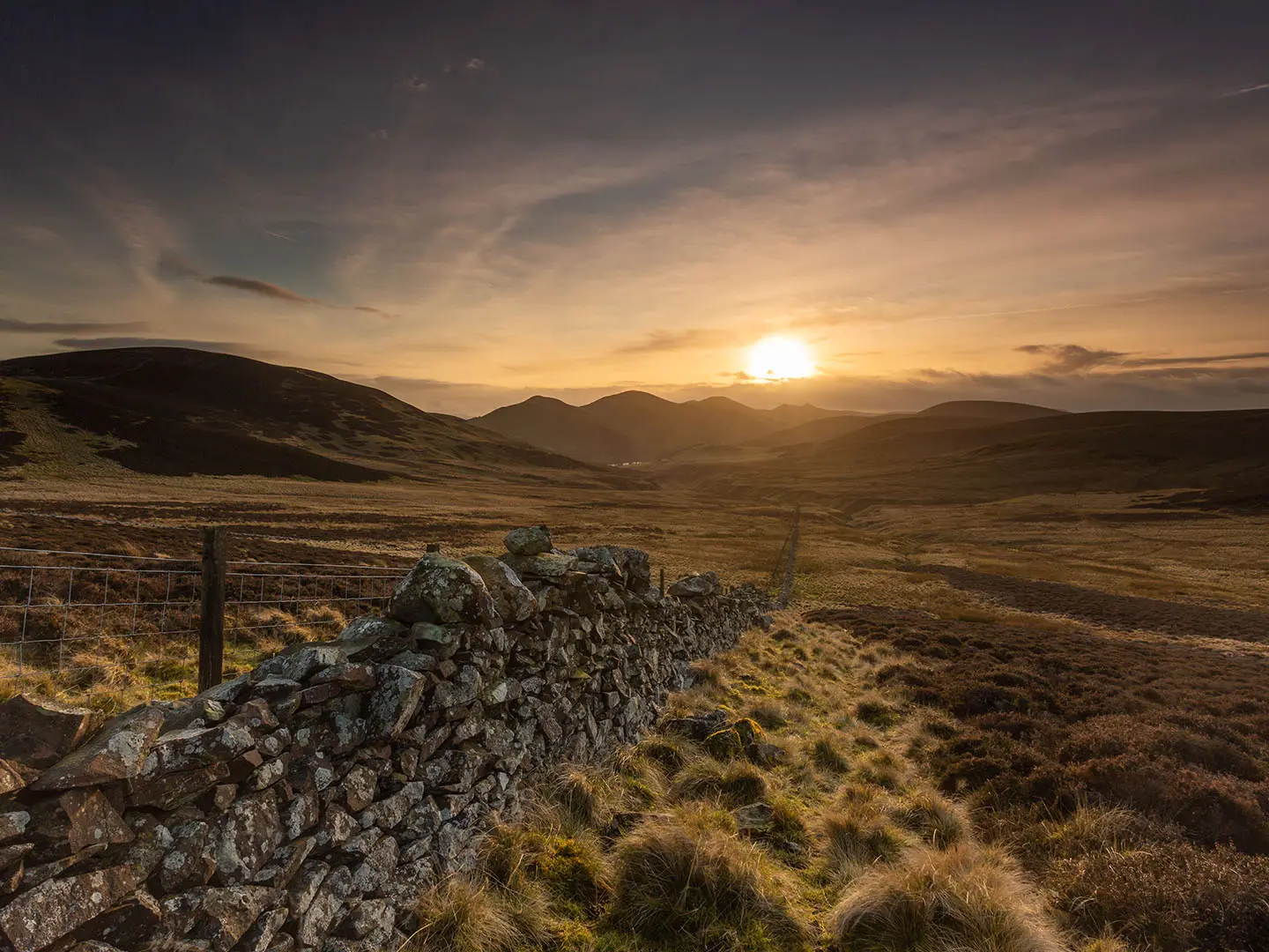
Pentland Hills Regional Park is a 15 km circular hill walk immediately south-west of Edinburgh in Scotland. The classic ridge loop from Flotterstone takes about 1 day, with roughly 500 m of ascent and a high point on Scald Law at 579 m. It is graded moderate, but this is a real upland walk: expect steep repeated climbs, exposed tops, muddy paths after rain and navigation issues in cloud. It suits hikers wanting a compact hill day from Edinburgh rather than a casual park stroll.
Route Overview
The usual start and finish is Flotterstone on the A702, with a free car park, the Ranger/Visitor Centre and the Flotterstone Inn. The loop heads along the reservoir road past Glencorse Reservoir, then climbs onto the ridge over Turnhouse Hill, Carnethy Hill and Scald Law. Longer versions continue over East Kip and West Kip before dropping towards Loganlea Reservoir for the return to Flotterstone. The walk mixes tarmac reservoir road, gravel tracks, grassy hill paths and rougher earthen sections. For other Scottish day and multi-day options, compare the Beinn Eighe Mountain Trail, the Annandale Way or the Arran Coastal Way.
Pentland Hills History
The Pentland Hills have Bronze Age cairns, old drove routes and long-used hill paths. Their best-known historical event is the Pentland Rising of 1666, which ended at the Battle of Rullion Green on 28 November 1666. A Covenanter force under Colonel James Wallace was defeated there by government troops under Tam Dalyell of the Binns. Robert Louis Stevenson, who grew up nearby, also wrote about the Pentlands. The area became a regional park in 1986.
Notable highlights
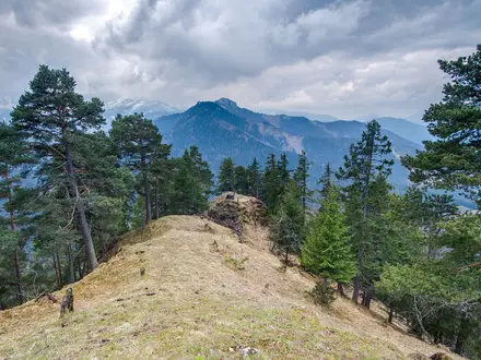
- Scald Law (579 m): The highest summit in the Pentland Hills and the high point of the classic ridge loop, with open views over the Lothians, the Forth and Edinburgh in clear weather.
- Carnethy Hill (573 m): A prominent peak on the switchback ridge between Turnhouse Hill and Scald Law. It also gives its name to the Carnethy 5 hill race.
- Glencorse Reservoir: A water-supply reservoir below the ridge. The lochside road gives an easier, sheltered-feeling contrast before the exposed climb onto the tops.
- Loganlea Reservoir: A quieter reservoir higher in the valley, framed by steep slopes. It is passed on the return leg towards Flotterstone.
- Flotterstone Visitor/Ranger Centre: The main trailhead on the A702, with parking, information, toilets and the adjacent Flotterstone Inn.
- Battle of Rullion Green / Pentland Rising 1666: A nearby memorial recalls the defeat of Covenanter rebels on 28 November 1666.
Challenges to expect
The ridge is exposed, windy and offers little shelter. Short distances can feel harder than expected because of steep, repeated climbs over Turnhouse Hill, Carnethy Hill and Scald Law. Paths are a mix of grass, earth, gravel and tarmac, with muddy sections after rain and some rockier ground. Cloud can make navigation difficult on the tops, and winter brings snow, ice and short daylight.
HikeList Score
Pentland Hills Regional Park scored 79/100 on HikeList's trail-quality metrics.
See score breakdownHide breakdown
- Ideal length 55
- Balanced challenge 100
- Scenery & wildness 68
- Varied terrain 100
- Accommodation 75
- Food & support 88
- Path quality 87
- Season flexibility 89
Computed from length, challenge, scenery & wildness, terrain variety, accommodation, food & support, path quality and season flexibility.
 United Kingdom
 Scotland
Show more data Show less
- Upland
- Moorland
- Grassland
- Pasture
- Grass
- Dirt
- Gravel
- Paved
- Rocky
- Hotels
- Campsites
- Wild Camping Spots
- Family Friendly
- Pet Friendly
- Restrooms
- Water Sources
- Campsites
- Picnic Areas
Photos from hikers
Taken on the trail by people who've reviewed Pentland Hills Regional Park.
Reviews
How would you rate Pentland Hills Regional Park?
Tap a star to start your review — you could be the first.