Peddars Way
How would you rate Peddars Way?
Tap a star to share your experience and help other hikers.
Peddars Way: Roman Road Across Norfolk
HikeList Score
Peddars Way scored 79/100 on HikeList's trail-quality metrics.
See score breakdownHide breakdown
- Ideal length 74
- Balanced challenge 50
- Scenery & wildness 82
- Varied terrain 100
- Accommodation 92
- Food & support 88
- Path quality 84
- Season flexibility 63
Computed from length, challenge, scenery & wildness, terrain variety, accommodation, food & support, path quality and season flexibility.
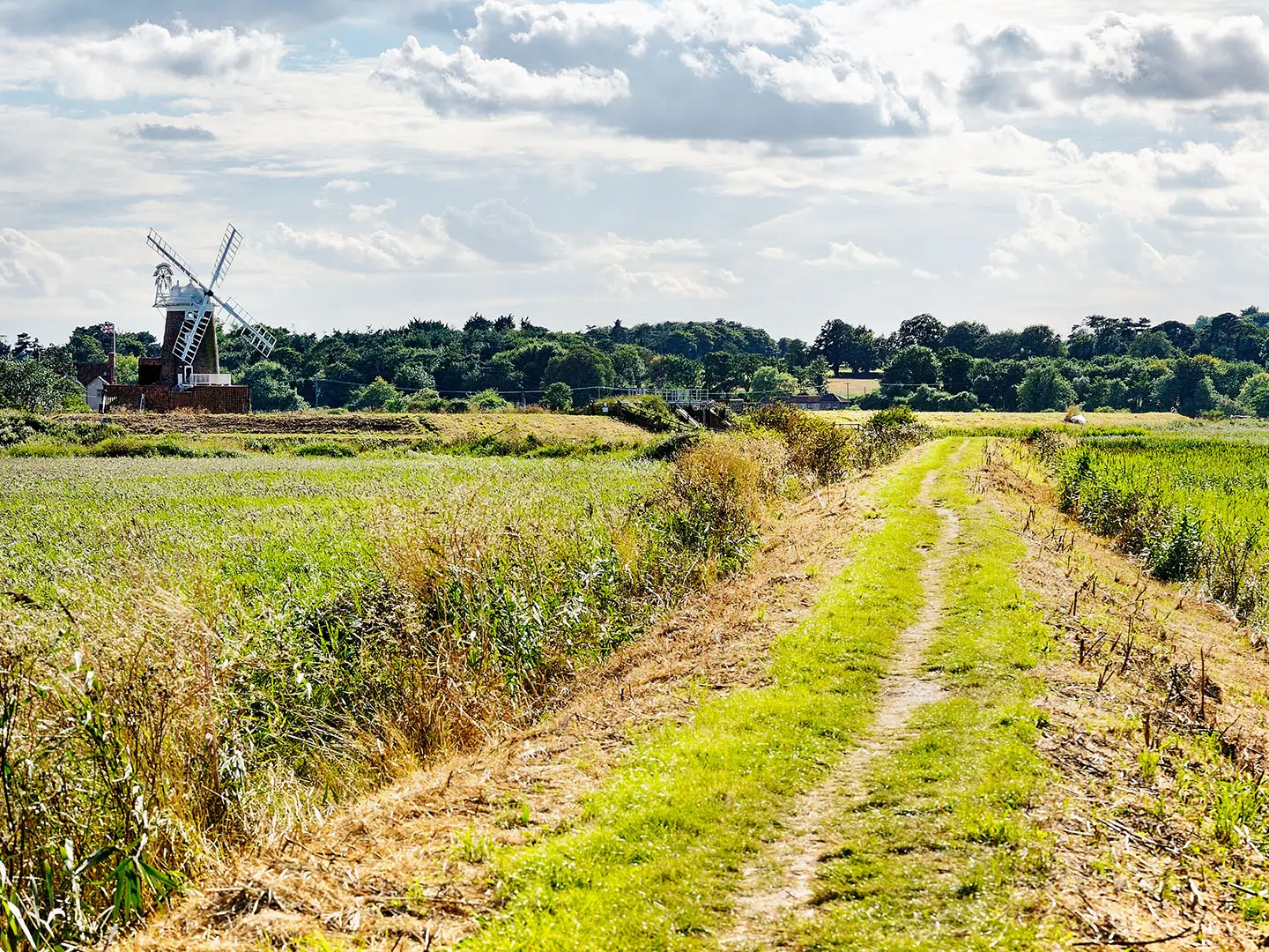
Peddars Way is a 74 km (46 mile) UK National Trail in England, running inland from Knettishall Heath in Suffolk to Holme-next-the-Sea on the north Norfolk coast. It is the southern section of the Peddars Way and Norfolk Coast Path and is usually walked in 3–4 days. The terrain is easy: flat to gently undulating heath, woodland, farmland tracks and quiet lanes. Treat it as easy-moderate only because it is a linear multi-day walk with limited resupply.
Route Overview
Peddars Way is a point-to-point route, almost always walked south-to-north. It starts at Knettishall Heath Country Park, about 4 miles / 7 km east of Thetford, then heads through Thorpe Woodland, Thompson, Little Cressingham, the Sporle / North Pickenham area, Castle Acre, Great Massingham, Fring, Sedgeford and Ringstead before reaching Holme-next-the-Sea. At Holme it joins the Norfolk Coast Path for the onward coastal walk. Rail access is via Thetford in the south and King’s Lynn plus Hunstanton-area buses in the north; rural bus links are limited, so plan transfers carefully. For another lowland Norfolk option, compare Weavers’ Way.
A Roman Road Through East Anglia
Peddars Way follows the line of a Roman road laid out across East Anglia around AD 61, after Queen Boudica’s revolt by the Iceni tribe. It may have reused an older prehistoric trackway linked to the Icknield Way. The route ran north towards the Wash, near the late-Roman Saxon Shore fort of Branodunum at Brancaster, and later carried medieval pilgrims heading for Walsingham. The name comes from Middle English “pedder”, meaning pedlar or itinerant trader, and is recorded on a map from 1587.
Notable highlights
Knettishall Heath (Breckland start): The southern trailhead is a Suffolk Wildlife Trust nature reserve of heath, acid grassland and woodland, grazed by Exmoor ponies and rich in birds and insects.
Roman road alignment (around AD 61): Long sections run arrow-straight along the surviving line of a Roman road, giving the walk its unusually direct feel across the Norfolk countryside.
Castle Acre (castle and priory): The route’s standout village sits where the Roman road meets the River Nar. It has a Norman motte-and-bailey castle and the ruins of Castle Acre Priory, a major Cluniac monastery site.
Swaffham and North Pickenham area: The middle section passes close to Swaffham and small Norfolk villages such as North Pickenham and Sporle, useful for pubs, churches and occasional resupply.
Sedgeford and Fring (north Norfolk chalk country): Near the end, the path threads through Sedgeford, known for community archaeology work into its Anglo-Saxon past, and tiny Fring as the farmland rolls towards the coast.
Holme-next-the-Sea (coastal finish): Peddars Way ends among dunes, salt marsh and the Holme Dunes nature reserve, where it continues as the Norfolk Coast Path.
Challenges to expect
There are no major climbs and no technical ground, but the challenge is distance, exposure and logistics. Long open farmland sections have little shade, shelter or resupply, so carry water and food. Heath and field-edge paths can be muddy after rain and occasionally indistinct, though navigation is generally straightforward thanks to acorn waymarking and the dead-straight Roman alignment.
HikeList Score
Peddars Way scored 79/100 on HikeList's trail-quality metrics.
See score breakdownHide breakdown
- Ideal length 74
- Balanced challenge 50
- Scenery & wildness 82
- Varied terrain 100
- Accommodation 92
- Food & support 88
- Path quality 84
- Season flexibility 63
Computed from length, challenge, scenery & wildness, terrain variety, accommodation, food & support, path quality and season flexibility.
 United Kingdom
 England
Show more data Show less
- Heath
- Woodland
- Farmland
- River Valleys
- Coastal
- Dirt
- Grass
- Gravel
- Paved
- B&Bs
- Pubs With Rooms
- Hotels
- Campsites
- Hostel Style Stays
- Family Friendly
- Pet Friendly
- Restrooms
- Water Sources
- Campsites
- Picnic Areas
In these collections
Photos from hikers
Taken on the trail by people who've reviewed Peddars Way.
Starting from Knettishall Heath, the trail heads north through peaceful heathland and woodland before transitioning into open farmland. Villages and hamlets are scarce on this stretch, but the scenery is defined by gently rolling fields, quiet country lanes, and historic field boundaries. The day ends near Little Cressingham, offering the opportunity to explore nearby local churches and picturesque Norfolk landscape.
Leaving Little Cressingham, the route continues over rural landscape, crossing the River Wissey and several minor roads. This section passes through the peaceful countryside and small villages, gradually approaching the historic village of Castle Acre. Here, highlights include the impressive Norman castle and priory—key historic sites and ideal rest points before the next stage.
The third day sets out from Castle Acre, quickly returning to countryside trails and passing through a mix of woodland, open fields, and agricultural landscapes. You’ll pass smaller villages such as Sporle and North Pickenham, each offering glimpses of rural village life. Approaching Sedgeford, the trail meanders through more rolling farmland with wide Norfolk skies overhead.
From Sedgeford, the final day heads north toward the coast, traversing open countryside and skirted by nature reserves. The route passes Ringstead before reaching Holme-next-the-Sea and the Holme Dunes nature reserve. The journey concludes with wide views over dunes, salt marsh, and the North Sea, marking the end of Peddars Way as it meets the Norfolk Coast Path.
Reviews
How would you rate Peddars Way?
Tap a star to start your review — you could be the first.