Orla Perć (Eagle’s Path)
How would you rate Orla Perć (Eagle’s Path)?
Tap a star to share your experience and help other hikers.
Orla Perć: Eagle’s Path Hiking Guide
HikeList Score
Orla Perć (Eagle’s Path) scored 67/100 on HikeList's trail-quality metrics.
See score breakdownHide breakdown
- Ideal length 55
- Balanced challenge 38
- Scenery & wildness 78
- Varied terrain 77
- Accommodation 66
- Food & support 81
- Path quality 98
- Season flexibility 76
Computed from length, challenge, scenery & wildness, terrain variety, accommodation, food & support, path quality and season flexibility.
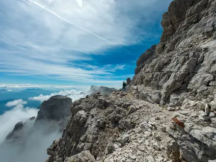
Orla Perć, the Eagle’s Path, is a 4.3 km expert ridge traverse in Tatra National Park, High Tatras, southern Poland. It runs from Zawrat pass to Krzyżne pass and is usually done as a long 1-day outing: 6–8 hours on the ridge, or roughly 11–12 hours hut-to-hut from Hala Gąsienicowa. Despite the short map distance, this is the hardest public marked trail in the Polish Tatras, with chains, ladders, exposure and serious fall consequences.
Route Overview
The waymarked ridge section is point-to-point, running west to east from Zawrat pass (2159 m) to Krzyżne pass (2112 m). From Zawrat it crosses or skirts Mały Kozi Wierch, Kozie Czuby, Kozi Wierch, Kozia Przełęcz, the Granaty group and the Buczynowe Turnie before dropping to Krzyżne. The one-way rule applies on the hardest Zawrat–Kozi Wierch section, which must be walked eastbound. Usual bases are Murowaniec hut at Hala Gąsienicowa and the Five Lakes Valley hut; Zakopane is the nearest resort town. For a less technical Tatra objective, compare the Five Lakes Valley Trail or Giewont Summit Trail.
History of Orla Perć
Orla Perć was conceived in 1901 by poet and mountaineer Franciszek Nowicki and built between 1903 and 1906 under the priest Walenty Gadowski. Linking and auxiliary paths were completed by about 1911. The route’s reputation is shaped by its accident record: at least 112 people are recorded to have died on it since opening. After accidents linked to two-way traffic on the most exposed ground, the Zawrat–Kozi Wierch section became one-way eastbound in July 2007.
Notable highlights
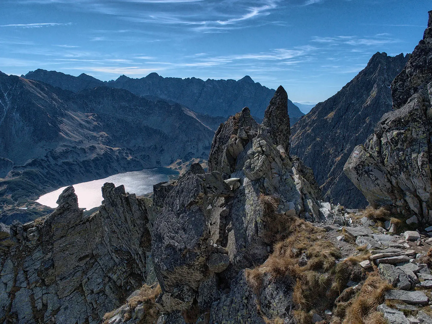
Kozi Wierch (2291 m): The highest point on Orla Perć and the loftiest summit in Poland reachable by a marked path. It gives wide views across the High Tatras and down to the lakes of Dolina Pięciu Stawów Polskich.
The ladders and chains (fixed aids): Chains, metal staples and two ladders help hikers over steep rock steps. They do not make this a via ferrata: there is no continuous cable to clip into, and exposure remains serious.
One-way Zawrat–Kozi Wierch section (eastbound only): Introduced in 2007 for safety, this is one of the most exposed parts of the ridge. Plan your approach and escape options around the compulsory direction.
The Granaty and Buczynowe Turnie (eastern ridge): The three Granat summits and jagged Buczynowe Turnie form the rough eastern half of the traverse towards Krzyżne. Expect rocky, airy ground rather than fast walking.
Five Lakes Valley views (glacial tarns below): The lakes of Dolina Pięciu Stawów Polskich sit directly below the ridge for much of the route. If you want the valley without Orla Perć’s exposure, see the Five Lakes Valley Trail.
Challenges to expect
Expect slow movement on exposed granite slabs, blocky scree and loose rubble, with steep drops on both sides. Fixed chains, staples and ladders require confident scrambling; this is not a protected via ferrata. Wet rock is treacherous, storms can arrive suddenly, and falling stones are a real hazard. Snow patches can linger into early summer, and there is no accommodation or resupply on the ridge itself.
HikeList Score
Orla Perć (Eagle’s Path) scored 67/100 on HikeList's trail-quality metrics.
See score breakdownHide breakdown
- Ideal length 55
- Balanced challenge 38
- Scenery & wildness 78
- Varied terrain 77
- Accommodation 66
- Food & support 81
- Path quality 98
- Season flexibility 76
Computed from length, challenge, scenery & wildness, terrain variety, accommodation, food & support, path quality and season flexibility.
 Poland
Show more data Show less
- Mountainous
- Alpine Ridge
- Rocky
- Granite Slabs
- Scree
- Loose Rubble
- Huts
- Hotels
- None
- Water Sources
- Campsites
- Shelters
In these collections
Photos from hikers
Taken on the trail by people who've reviewed Orla Perć (Eagle’s Path).
Reviews
How would you rate Orla Perć (Eagle’s Path)?
Tap a star to start your review — you could be the first.