Naxos Mountain Trail
How would you rate Naxos Mountain Trail?
Tap a star to share your experience and help other hikers.
Naxos Mountain Trail: Mount Zas Day Hike Guide
HikeList Score
Naxos Mountain Trail scored 73/100 on HikeList's trail-quality metrics.
See score breakdownHide breakdown
- Ideal length 55
- Balanced challenge 80
- Scenery & wildness 71
- Varied terrain 83
- Accommodation 74
- Food & support 74
- Path quality 80
- Season flexibility 89
Computed from length, challenge, scenery & wildness, terrain variety, accommodation, food & support, path quality and season flexibility.
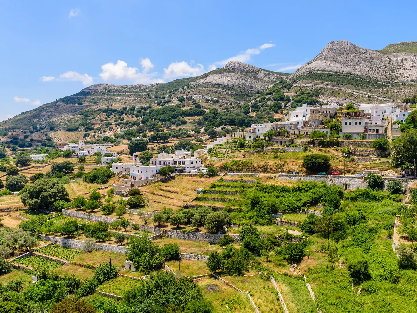
The Naxos Mountain Trail is best understood as the Mount Zas hike in the mountainous interior of Naxos, Greece. The headline route is a hard, roughly 12 km loop from Filoti, climbing to the 1,004 m summit of Mount Zas, the highest point in the Cyclades. It is a one-day hike for fit walkers who are comfortable on steep, rocky ground, loose scree and lightly scrambled sections near Zas Cave. Spring and autumn are best; summer starts need to be early because shade is limited.
Route Overview
Start and finish at or near Filoti, the main mountain village on Naxos, about 25–30 minutes by car from Chora/Naxos Town. The fuller circular route climbs via Aria Spring and Zas Cave to the Mount Zas summit, then descends towards Agia Marina chapel and returns via Danakos and Filoti. The common shorter alternatives are out-and-back summit hikes from Aria Spring or Agia Marina, but the 12 km figure here refers to the Filoti loop. This is not a point-to-point hike to Apeiranthos. For longer Greek waymarked walking, compare the Andros Route or the E4 European Long-Distance Trail (Greek Section).
Mount Zas, Zeus and Naxos’s old mountain paths
Mount Zas is tied to Greek myth as a mountain of Zeus, and Zas Cave is popularly associated with stories of the young god being hidden from Kronos. An ancient inscribed boundary stone reading “Oros Dios Melosiou” has been recorded on the slopes. The paths themselves follow old kalderimi-style routes that once linked Naxos’s mountain villages. Today they sit within a wider island network of roughly 15 cleared and waymarked trails.
Notable highlights
- Mount Zas summit (1,004 m): The highest point in the Cyclades and the clear objective of the hike. In good visibility, the summit gives wide Aegean views across Naxos and towards islands including Paros, Ios and Amorgos.
- Zas Cave: A large cave on the Aria Spring approach, linked in myth to the infant Zeus. Bring a torch if you want to look inside; the rocky section above the cave is the route’s crux.
- Aria Spring (Pigi Aria): A shaded natural spring near the lower trailhead. It is a traditional rest and watering point before the steeper mountain climb begins.
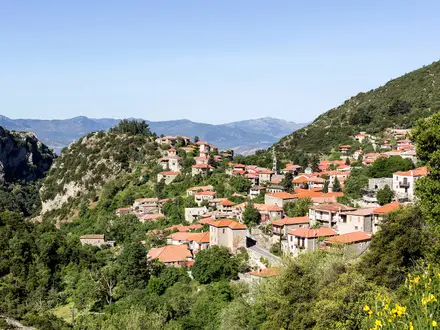
- Filoti: The largest mountain village on Naxos, with whitewashed Cycladic houses, marble-paved lanes, tavernas and Panagia Filotitissa near the main square.
- Agia Marina chapel: A small chapel used as the eastern trailhead and a typical descent point on the loop. The path here is quieter and better defined than the cave approach.
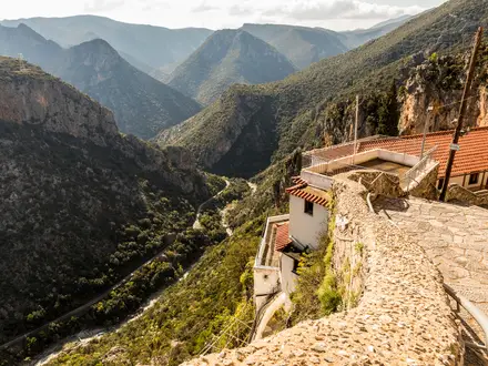
- Tragea terraces: The basin below Mount Zas is patterned with old agricultural terraces, olive groves and Byzantine chapels, visible from viewpoints on the route.
Challenges to expect
Expect a hot, exposed mountain walk with little shade, especially outside spring and autumn. The Aria Spring and Zas Cave line is steep and rocky, with loose scree and a short section where hands may be needed. Waymarking includes red dots, cairns, red-and-white markers and wooden signs, but some paths can be faint, so carry a map or GPS track. Water is limited higher up.
HikeList Score
Naxos Mountain Trail scored 73/100 on HikeList's trail-quality metrics.
See score breakdownHide breakdown
- Ideal length 55
- Balanced challenge 80
- Scenery & wildness 71
- Varied terrain 83
- Accommodation 74
- Food & support 74
- Path quality 80
- Season flexibility 89
Computed from length, challenge, scenery & wildness, terrain variety, accommodation, food & support, path quality and season flexibility.
 Greece
Show more data Show less
- Mountainous
- Terraced Farmland
- Open Rocky Slopes
- Dirt
- Rocky
- Paved
- Guesthouses
- Hotels
- Pet Friendly
- Restrooms
- Water Sources
Photos from hikers
Taken on the trail by people who've reviewed Naxos Mountain Trail.
A hard circular day hike from Filoti, climbing via Aria Spring and Zas Cave to the Mount Zas summit, then descending by Agia Marina chapel and returning via Danakos. Allow roughly 5–5.5 hours for the fuller loop, with about 600 m of ascent.
Reviews
How would you rate Naxos Mountain Trail?
Tap a star to start your review — you could be the first.