Karwendel Höhenweg
How would you rate Karwendel Höhenweg?
Tap a star to share your experience and help other hikers.
Karwendel Höhenweg: A Complete High-Alpine Trek Guide
HikeList Score
Karwendel Höhenweg scored 81/100 on HikeList's trail-quality metrics.
See score breakdownHide breakdown
- Ideal length 93
- Balanced challenge 80
- Scenery & wildness 98
- Varied terrain 83
- Accommodation 49
- Food & support 65
- Path quality 98
- Season flexibility 76
Computed from length, challenge, scenery & wildness, terrain variety, accommodation, food & support, path quality and season flexibility.
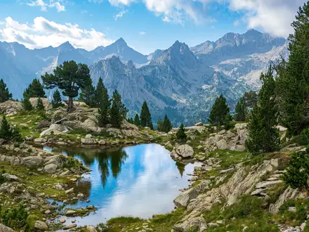
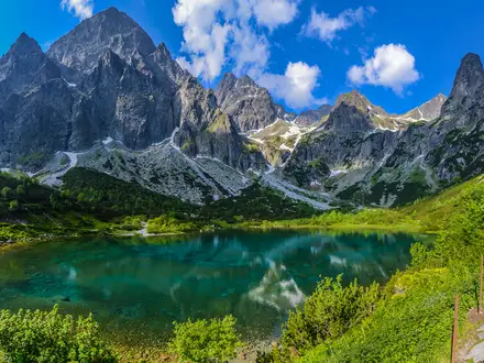
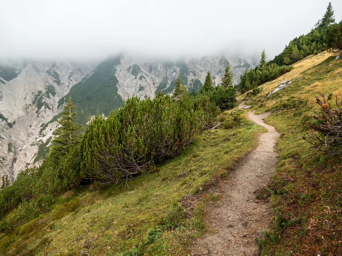
The Karwendel Höhenweg is a 67 km, six-stage hut-to-hut traverse of the Karwendel mountains in Tyrol, Austria. Entirely inside Naturpark Karwendel, it is a hard, black-graded alpine route for experienced, sure-footed hikers with a head for heights. Expect rocky ridges, scree, exposed cable-secured sections, five ÖAV huts and around 4,400 m of ascent. It suits fit mountaineers looking for a compact high route rather than a beginner-friendly walking holiday.
Route Overview
The route runs point-to-point between Reith bei Seefeld and Scharnitz and can be walked in either direction. In the standard Reith–Scharnitz direction it links Nördlinger Hütte, Solsteinhaus, Pfeishütte, Bettelwurfhütte and Hallerangerhaus before descending through the Hinterautal/Isar valley. Stage 3 is the longest day, crossing the Goetheweg, Mandlscharte, Hafelekar/Nordkette and Frau-Hitt-Sattel above Innsbruck. Scharnitz and Reith bei Seefeld are both on the Innsbruck–Seefeld–Mittenwald railway, and the Nordkette/Hafelekar cable car joins the route at stage 3. For other Austrian high routes, compare the Eagle Walk and the Carnic High Trail.
Karwendel history and protection
The Karwendel has been protected since 1928, making it one of Central Europe’s oldest protected areas. Today’s Naturpark Karwendel covers 739 km² and was consolidated in 2009, then expanded in 2022. The huts and paths reflect the Alpine-club era of the late 19th and early 20th centuries. The Goetheweg, opened in the 1930s, is the key link that brings the Nordkette above Innsbruck into the high traverse.
Notable highlights
- Reither Spitze (~2,374 m): A limestone peak reached early on stage 1 above the Nördlinger Hütte, with views over the Seefeld plateau and into the Karwendel.
- Goetheweg and Mandlscharte (2,314 m): The airy stage-3 balcony path runs along the Nordkette above Innsbruck and crosses the trail’s highest point at Mandlscharte.
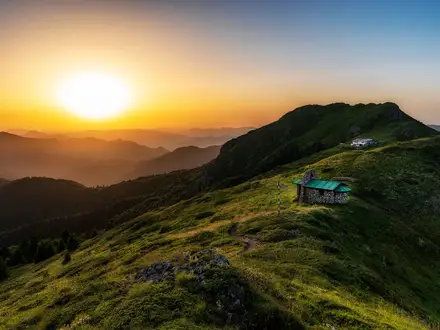
- Bettelwurfhütte (2,079 m) and Große Bettelwurf: The Bettelwurfhütte is nicknamed the “eagle’s nest” of the Karwendel; Große Bettelwurf is an optional grade-I summit with cable-secured sections.
- Hallerangerhaus (1,768 m): A historic hut in a remote high basin below the Lafatscher Joch, and the final overnight stop before the long descent to Scharnitz.
- Naturpark Karwendel: Austria’s largest nature park, protected since 1928, with karst peaks, ancient forest, wild rivers and golden-eagle territory.
Challenges to expect
This is a difficult alpine mountain trail, not a general hut walk. Expect long days, rocky and scree terrain, exposed cable-secured passages and easy via ferrata sections of grade A/B on stage 5. Snow patches can linger in June and crampons may be needed early season. There are no valley nights between stages, so hut reservations and carrying the right weather and alpine kit matter.
HikeList Score
Karwendel Höhenweg scored 81/100 on HikeList's trail-quality metrics.
See score breakdownHide breakdown
- Ideal length 93
- Balanced challenge 80
- Scenery & wildness 98
- Varied terrain 83
- Accommodation 49
- Food & support 65
- Path quality 98
- Season flexibility 76
Computed from length, challenge, scenery & wildness, terrain variety, accommodation, food & support, path quality and season flexibility.
 Austria
Show more data Show less
- Mountainous
- Alpine
- Forest
- Rocky
- Scree
- Dirt
- Huts
- Pet Friendly
- Restrooms
- Water Sources
- Shelters
In these collections
Photos from hikers
Taken on the trail by people who've reviewed Karwendel Höhenweg.
A steep opening climb past Reither Spitze to the Nördlinger Hütte, with around 1,130 m of ascent and an estimated walking time of about 4.5 hours.
A short but alpine hut-to-hut stage from Nördlinger Hütte to Solsteinhaus, taking around 4 hours on the official itinerary.
The longest stage, around 9 hours, via the Goetheweg, Mandlscharte at 2,314 m, Hafelekar/Nordkette above Innsbruck and Frau-Hitt-Sattel.
A roughly 4.5-hour stage from Pfeishütte to Bettelwurfhütte, crossing the Stempeljoch.
A demanding stage of around 6 hours with via ferrata A/B passages. The Große Bettelwurf is an optional summit side-trip.
A long final descent through the Hinterautal/Isar valley to Scharnitz, with an estimated walking time of about 5.5 hours.
Reviews
How would you rate Karwendel Höhenweg?
Tap a star to start your review — you could be the first.