Holyhead Mountain Circular Walk
How would you rate Holyhead Mountain Circular Walk?
Tap a star to share your experience and help other hikers.
Holyhead Mountain Circular Walk: South Stack, North Stack and Anglesey’s High Point
HikeList Score
Holyhead Mountain Circular Walk scored 78/100 on HikeList's trail-quality metrics.
See score breakdownHide breakdown
- Ideal length 55
- Balanced challenge 100
- Scenery & wildness 71
- Varied terrain 83
- Accommodation 75
- Food & support 75
- Path quality 98
- Season flexibility 100
Computed from length, challenge, scenery & wildness, terrain variety, accommodation, food & support, path quality and season flexibility.
The Holyhead Mountain Circular Walk is a 7.3 km loop on Holy Island, Anglesey, in north-west Wales. Starting near the RSPB South Stack Cliffs reserve, it links South Stack, North Stack and the 220 m summit of Holyhead Mountain. Allow about 2.5 to 3.5 hours. It is a moderate day walk: short, but with steep steps, rocky clifftop paths, exposed heathland and some confusing braided tracks. It suits walkers who want a compact coastal summit route with seabirds, lighthouse views and big Irish Sea panoramas.
Route Overview
Most walkers start and finish at the RSPB South Stack car park by Ellin’s Tower and the Seabird Centre, about 4 km west of Holyhead. The circular route takes in the South Stack Lighthouse viewpoint, follows exposed clifftop coast path towards North Stack and its old signal/fog station, then crosses heathland to the summit of Holyhead Mountain and Caer y Twr before returning to South Stack. It can also be started from Breakwater Country Park. Do not confuse it with the longer 16–17 km Wales Coast Path loop of a similar name. For a bigger coastal objective on the island, see the Anglesey Coastal Path.
History on Holyhead Mountain
Holyhead Mountain has evidence of human occupation from the Mesolithic through the Neolithic, Bronze Age and Iron Age. The summit area is crowned by Caer y Twr, an Iron Age hillfort later associated with a Roman watchtower site, while nearby Tŷ Mawr preserves prehistoric roundhouse remains. South Stack Lighthouse was proposed as early as the 17th century and was finally lit in 1809 to protect shipping on the approaches to Holyhead. The cliffs are now protected as part of the RSPB South Stack Cliffs reserve.
Notable highlights
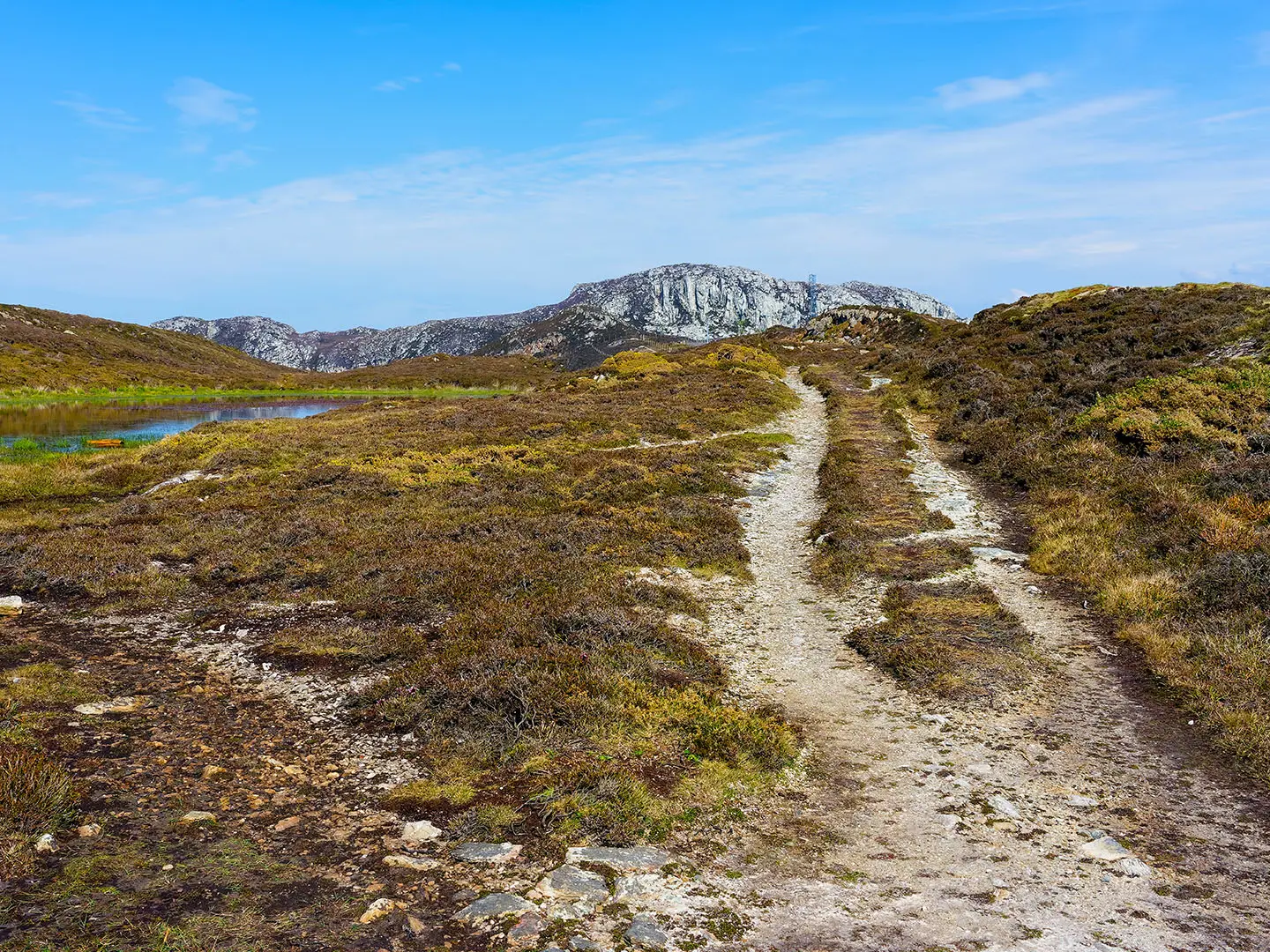
Summit of Holyhead Mountain (Mynydd Tŵr, 220 m): The highest point on Anglesey, marked by a trig point on quartzite, heather-covered ground. In clear weather the views reach across Anglesey to Eryri and west over the Irish Sea towards the Wicklow Mountains.
South Stack Lighthouse: A classic Anglesey lighthouse, first lit in 1809 on a small islet below the cliffs. The viewpoint gives the best look at the lighthouse, the steps and the steep quartzite coastline.
RSPB South Stack Cliffs and Ellin’s Tower: The reserve’s cliffs support breeding seabirds including guillemots, razorbills and puffins, with choughs and peregrine falcons also recorded. Ellin’s Tower gives close views over the colony.
Caer y Twr hillfort: An Iron Age hillfort on the summit area, with drystone ramparts and later reuse linked to a Roman watchtower site. It adds a clear archaeological focus to the mountain section.
North Stack: A quieter headland on the northern side of the loop, with an old fog-signal/coastguard station and dramatic cliff scenery. It is also a good area for watching offshore wildlife, including grey seals.
Challenges to expect
The walk is short but not easy. Expect steep stepped sections, rocky and uneven clifftop paths, exposed wind on the coast and summit, and boggy ground in places. The heath has several braided paths, so basic navigation helps, especially in poor visibility. Winter conditions can feel much harsher than the distance suggests. For easier Welsh day-walk comparison, see the Aber Falls Walk; for a tougher multi-day route, see the Beacons Way.
HikeList Score
Holyhead Mountain Circular Walk scored 78/100 on HikeList's trail-quality metrics.
See score breakdownHide breakdown
- Ideal length 55
- Balanced challenge 100
- Scenery & wildness 71
- Varied terrain 83
- Accommodation 75
- Food & support 75
- Path quality 98
- Season flexibility 100
Computed from length, challenge, scenery & wildness, terrain variety, accommodation, food & support, path quality and season flexibility.
Show more data Show less
- Coastal
- Heathland
- Clifftop
- Rocky
- Dirt
- Boggy
- Hotels
- Campsites
- Wild camping spots
- Family Friendly
- Pet Friendly
- Restrooms
- Campsites
- Picnic Areas
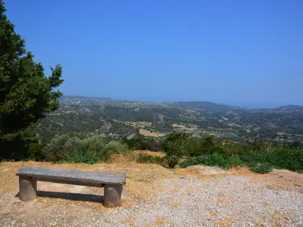
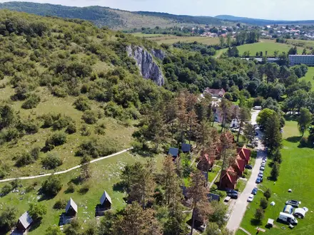
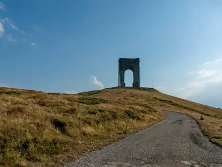
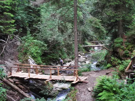
Photos from hikers
Taken on the trail by people who've reviewed Holyhead Mountain Circular Walk.
Reviews
How would you rate Holyhead Mountain Circular Walk?
Tap a star to start your review — you could be the first.