Giewont Summit Trail
How would you rate Giewont Summit Trail?
Tap a star to share your experience and help other hikers.
Giewont Summit Trail: Hard Day Hike Above Zakopane
HikeList Score
Giewont Summit Trail scored 77/100 on HikeList's trail-quality metrics.
See score breakdownHide breakdown
- Ideal length 55
- Balanced challenge 74
- Scenery & wildness 98
- Varied terrain 76
- Accommodation 66
- Food & support 81
- Path quality 98
- Season flexibility 89
Computed from length, challenge, scenery & wildness, terrain variety, accommodation, food & support, path quality and season flexibility.
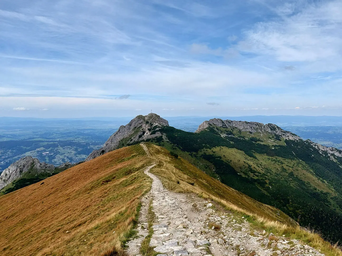
The Giewont Summit Trail is a hard 11 km out-and-back day hike in the Polish Western Tatras, starting at Kuźnice above Zakopane in Poland. It climbs about 1,100 m to Great Giewont, the 1,894 m cross-topped peak overlooking the town. This route suits fit hikers comfortable with steep mountain terrain, exposure and a final chain-secured scramble. It is not a casual viewpoint walk: wet rock, crowds and fast-building thunderstorms can turn the summit section serious.
Route Overview
Start and finish at Kuźnice, the lower cable-car station above Zakopane; reach it by minibus or taxi, as the last roughly 3 km of road is closed to private cars. Follow blue waymarks through Polana Kalatówki, the Kondratowa Valley and past Kondratowa Hut to Kondracka Przełęcz. From there, the route switches to the red trail for the exposed, chain-secured final push to the Great Giewont summit cross. The summit approach is circulation-managed, but the standard hike returns broadly the same way, so it is an out-and-back. For other Polish mountain routes, compare the Kościelec Trail or the Five Lakes Valley Trail.
Giewont’s Cross and Sleeping Knight Legend
The 15 m steel cross on Great Giewont was erected in 1901 and has become both a religious landmark and a national symbol visible from Zakopane. It was added to the Lesser Poland Voivodeship register of historical monuments in 2007. Giewont is also tied to the “sleeping knight” legend: from the north, the ridge resembles a recumbent knight, with Polish folklore saying the knights will wake when the nation is in danger.
Notable highlights
- Great Giewont summit cross (15 m, 1901): The steel cross crowns the 1,894 m summit and is the defining objective of the hike. It is visible from Zakopane and has strong religious and national symbolism.
- Chained summit ridge: The final section is an exposed scramble on fixed iron chains over polished rock. This is the crux of the route and the main reason for the hard grade.
- Kondratowa Valley and Kondratowa Hut: The trail passes through Dolina Kondratowa, with Schronisko PTTK na Hali Kondratowej as the natural rest stop before the steeper climb.
- Kondracka Przełęcz: This high saddle at about 1,725 m marks the transition to open alpine terrain and the red-marked summit section.
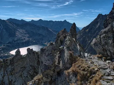
- Summit panorama: From the top, hikers get wide views over the Western Tatras, the Zakopane basin and, in clear weather, towards Slovakia.
- Sleeping knight profile: Seen from Zakopane, Giewont’s outline resembles a reclining knight, a shape closely linked with local folklore.
Challenges to expect
Expect a long, steep ascent, rocky and dirt paths, and a polished chain section that becomes dangerous when wet or icy. The exposure is significant and unsuitable for hikers uncomfortable with heights. Afternoon thunderstorms build quickly; the metal cross and chains are extremely hazardous in lightning. Start early, avoid wet conditions and turn back if storms threaten. For a non-Tatra contrast, see the Karkonosze Ridge Trail.
HikeList Score
Giewont Summit Trail scored 77/100 on HikeList's trail-quality metrics.
See score breakdownHide breakdown
- Ideal length 55
- Balanced challenge 74
- Scenery & wildness 98
- Varied terrain 76
- Accommodation 66
- Food & support 81
- Path quality 98
- Season flexibility 89
Computed from length, challenge, scenery & wildness, terrain variety, accommodation, food & support, path quality and season flexibility.
 Poland
Show more data Show less
- Mountainous
- Forest
- Alpine
- Rocky
- Dirt
- Hotels
- Huts
- Family Friendly
- Restrooms
- Water Sources
- Shelters
In these collections
Photos from hikers
Taken on the trail by people who've reviewed Giewont Summit Trail.
Reviews
How would you rate Giewont Summit Trail?
Tap a star to start your review — you could be the first.