Drawa National Park Trail
How would you rate Drawa National Park Trail?
Tap a star to share your experience and help other hikers.
Drawa National Park Trail: Forest and River Walking in Poland
HikeList Score
Drawa National Park Trail scored 79/100 on HikeList's trail-quality metrics.
See score breakdownHide breakdown
- Ideal length 59
- Balanced challenge 90
- Scenery & wildness 82
- Varied terrain 100
- Accommodation 67
- Food & support 72
- Path quality 92
- Season flexibility 89
Computed from length, challenge, scenery & wildness, terrain variety, accommodation, food & support, path quality and season flexibility.
The Drawa National Park Trail is the main through-walk of Drawieński Park Narodowy in north-western Poland, following the red Hetman Stefan Czarniecki Trail for about 33 km. It is a 1-2 day, moderate point-to-point hike from Drawno/Drawnik towards Stare Osieczno, suited to walkers who want lowland forest, river valleys and lakes rather than mountains. Expect sandy tracks, old cobbled forest roads and short climbs above the Drawa valley. For comparable Polish forest walking, see the Białowieża Forest Trails and Kampinos National Park Trail.
Route Overview
The red Czarniecki spine runs roughly north-east to south-west through Drawa National Park: Drawno / Drawnik -> Barnimie -> Uroczysko Drawski Matecznik -> Zatom -> Radęcin -> Moczele -> Głusko, with the Kamienna power plant nearby, and on to Stare Osieczno. It is a linear route, not a loop, with many shorter colour-coded trails and educational paths branching from it. Lakes Ostrowieckie and Czarne sit just off the main line via connecting blue, yellow and black trails. The whole marked walking network in the park is about 90 km, so this through-route can be expanded into a longer stay. If you want a much longer Polish lowland journey, compare the Baltic Coastal Trail.
History of Drawa National Park
Drawa National Park was established in 1990 to protect the Drawa Forest and the valleys of the Drawa and Płociczna rivers, building on earlier nature reserves in the area. The route also passes a landscape shaped by old fishing, forestry and river use: Stara Węgornia preserves remains of an eel-trapping site, while the Kamienna hydroelectric plant is a historic working power station. The wider region also contains remains of the German WWII Pomeranian Wall fortifications.
Notable highlights
- Lake Ostrowieckie (about 387 ha): The largest lake in the park, reached by branch trails from the main walking network. It is a strong detour for open water views and birdlife.
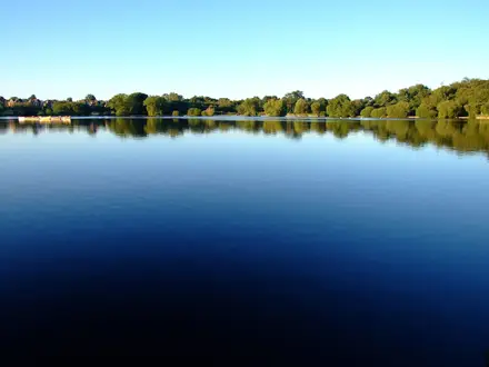
- Lake Czarne: A deep, emerald-green meromictic lake, meaning its lower water layer does not mix. It is one of the park’s most distinctive natural sights.
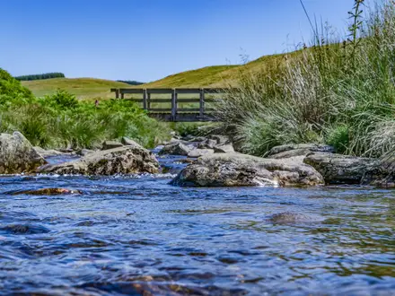
- Drawa river valley: The clear, fast-flowing Drawa runs about 40 km through the park. The trail uses this valley as its natural spine, with riverside sections and repeated rises out of the valley floor.
- Kamienna hydroelectric plant: A historic working power station on the Drawa, operating since 1903. It still uses original Swiss Escher-Wyss Francis turbines and early AEG generators.
- Stara Węgornia: The remains of a historic eel-trapping site on the water. It is a small but useful reminder that this forested landscape also has a long fishing economy.
- Ancient forest: Beech and pine woodland covers more than 80% of the park, with oaks up to about 400 years old. The park is also home to otters, beavers, cranes and white-tailed eagles.
Challenges to expect
This is not high or alpine terrain, but it is still a moderate day or two on foot. The through-route is long, with around 7 hours of walking if done in one push. Surfaces include sandy tracks, forest footpaths and old cobbled roads, which can be tiring underfoot. Expect frequent short climbs in and out of the Drawa and Płociczna river valleys, and plan accommodation ahead in Drawno, Barnimie or Głusko.
HikeList Score
Drawa National Park Trail scored 79/100 on HikeList's trail-quality metrics.
See score breakdownHide breakdown
- Ideal length 59
- Balanced challenge 90
- Scenery & wildness 82
- Varied terrain 100
- Accommodation 67
- Food & support 72
- Path quality 92
- Season flexibility 89
Computed from length, challenge, scenery & wildness, terrain variety, accommodation, food & support, path quality and season flexibility.
 Poland
Show more data Show less
- Forest
- River Valleys
- Lakes
- Meadows
- Peat Bogs
- Forest Footpaths
- Sandy Tracks
- Cobbled Roads
- Riverside Paths
- Lakeside Paths
- Walkers' Lodges
- Agritourism Guesthouses
- Campsites
- Family Friendly
- Pet Friendly
- Restrooms
- Water Sources
- Campsites
- Shelters
- Picnic Areas
Photos from hikers
Taken on the trail by people who've reviewed Drawa National Park Trail.
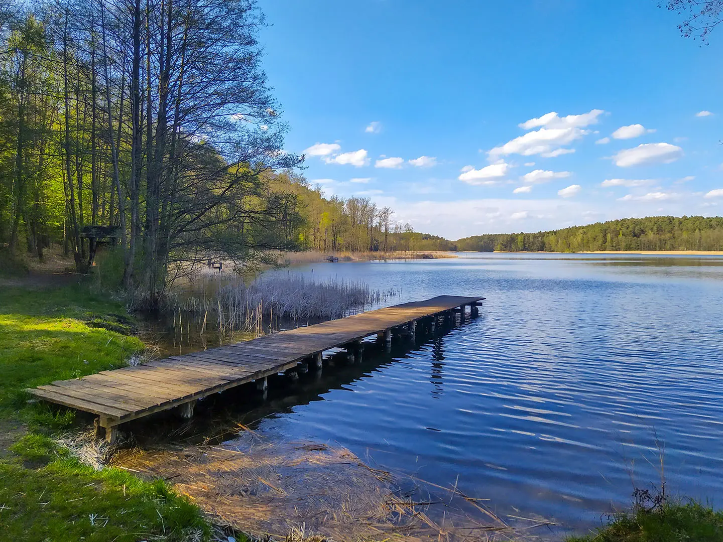
Starting from the village of Drawno at the park's northwestern entrance, the trail heads southeast, following forest paths and passing through scenic pine and mixed woodland. Early on, hikers cross the Drawa River and travel near the small settlement of Barnimie. The route continues along the edge of wetlands, winding its way to Lake Ostrowieckie. Boardwalks traverse marshy areas and offer views of peat bogs and lush plant life. The day ends at designated campsites or shelters near Ostrowieckie Lake, where there are opportunities for rest, wildlife observation, and lakeside relaxation.
The second day resumes from Lake Ostrowieckie, leading hikers deeper into Drawa National Park's protected ecosystems. The route winds south and east, progressing through more dense forests, over gently rolling hills, and past the scenic Święta Struga stream. Boardwalks and forest trails alternate as the path skirts wetlands and minor glacial lakes. Ruins of historical mills and hidden pockets of biodiversity mark this stretch. The journey concludes as the trail descends toward the park's southeastern border, finishing near Głusko or Prostynia, where public transport and pick-up points are accessible. Along this segment, hikers find more rest shelters and picnic areas before the end of the hike.
Reviews
How would you rate Drawa National Park Trail?
Tap a star to start your review — you could be the first.