Dava Way
How would you rate Dava Way?
Tap a star to share your experience and help other hikers.
Dava Way: A Complete Hiking Guide
HikeList Score
Dava Way scored 81/100 on HikeList's trail-quality metrics.
See score breakdownHide breakdown
- Ideal length 59
- Balanced challenge 90
- Scenery & wildness 88
- Varied terrain 100
- Accommodation 91
- Food & support 61
- Path quality 83
- Season flexibility 100
Computed from length, challenge, scenery & wildness, terrain variety, accommodation, food & support, path quality and season flexibility.
The Dava Way is a 38 km point-to-point trail in Scotland, linking Forres in Moray with Grantown-on-Spey in the Cairngorms National Park. It is a moderate 1.5-day walk on the trackbed of a former Highland Railway line, with gentle gradients but a long, exposed crossing of Dava Moor. Fit walkers can do it in one long day; most hikers split it into 1–2 days or use shorter day sections. It suits walkers who want railway history, moorland space and simple logistics between two towns.
Route Overview
Most hikers walk the Dava Way north to south, starting at the official trailhead on Mannachie Avenue, about a mile from Forres town centre, and finishing in Grantown-on-Spey. The route passes Rafford, Altyre Burn, Dunphail, the Divie Viaduct, Dunphail Station, Dava Moor, the Dava summit at about 320 m, the Halfway Hut and Knock of Braemoray before dropping into Strathspey. It is a linear, waymarked route with no facilities in the middle section; Forres and Grantown-on-Spey are the realistic overnight bases. If you are comparing other Scottish walks, look at the Annandale Way, coastal options such as the Arran Coastal Way, or a more rugged Highland day out on the Beinn Eighe Mountain Trail.
Railway History of the Dava Way
The Dava Way follows the former Highland Railway line between Forres and Grantown, part of the Inverness–Perth route. The line opened on 9 September 1863 and closed in 1965. The Dava Way Association was formed in 1997 to create the walking and cycling route, which opened in 2005. Today it is recognised as one of Scotland’s Great Trails and links with the Speyside Way and Moray Coast Trail to form the Moray Way.
Notable highlights
- Divie Viaduct (seven-span masonry viaduct): Built in 1861–63, it carries the path high above the River Divie near Dunphail. It is one of the clearest reminders that this quiet trail was once a railway.
- Dunphail Station (former railway station): This remote station served a thinly populated area but had an exceptionally long platform, linked to its old role in moving cattle south to market.
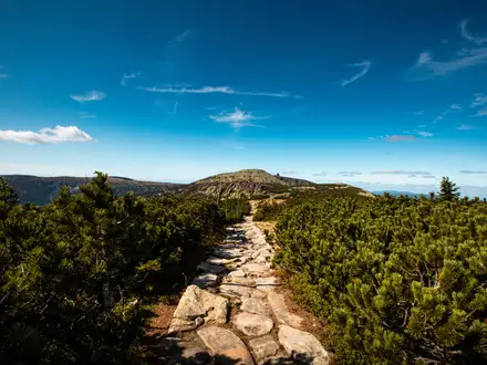
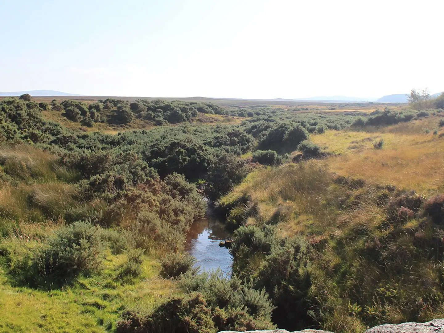
- Dava Moor and the Dava summit (~320 m): The most exposed part of the walk crosses open heather moorland. In clear weather there are views north over the Moray Firth towards Sutherland.
- The Halfway Hut: A former railway workers’ hut refurbished as a simple shelter near the midpoint of the moor crossing. It is a useful rest stop on a section with no facilities.
- Knock of Braemoray: The old railway line curves around the eastern slopes of this rounded hill, passing the abandoned farmhouse of Bogeney on the moorland stretch.
- Forres and Grantown-on-Spey: Forres starts the route near the Moray coast; Grantown-on-Spey finishes it in Strathspey as a gateway to the Cairngorms.
Challenges to expect
The Dava Way is moderate mainly because of length, exposure and surface rather than ascent. Railway gradients are gentle, but the trackbed can be loose, uneven, rutted or wet, with a short rooty diversion south of Rafford and two short road sections near Dava and Grantown. The central moor has no settlements or facilities, and winter weather can feel severe. Keep to the path on surrounding sporting estates.
HikeList Score
Dava Way scored 81/100 on HikeList's trail-quality metrics.
See score breakdownHide breakdown
- Ideal length 59
- Balanced challenge 90
- Scenery & wildness 88
- Varied terrain 100
- Accommodation 91
- Food & support 61
- Path quality 83
- Season flexibility 100
Computed from length, challenge, scenery & wildness, terrain variety, accommodation, food & support, path quality and season flexibility.
 United Kingdom
 Scotland
Show more data Show less
- Farmland
- Woodland
- Moorland
- River Valley
- Compacted Trackbed
- Loose
- Uneven
- Rutted
- Boggy
- Road
- B&Bs
- Inns
- Hotels
- Family Friendly
- Dog Friendly On Leash
- Campsites
Photos from hikers
Taken on the trail by people who've reviewed Dava Way.
The hike begins in Forres, following waymarked paths through woodland and passing the historic Dallas Dhu Distillery. The route continues south along the disused railway line, skirting farmland and small forests, with occasional views of the Moray countryside. Highlights include crossing the impressive Divie Viaduct and traversing sections of open moorland before reaching the small settlement of Dava. Expect mostly firm gravel, grass, or earth tracks, with some short road sections and limited facilities along this stretch.
Leaving Dava, the trail leads across the wild and exposed Dava Moor, offering panoramic views and a remote Highland feel. After navigating the moorland, the path descends gradually through mixed woodland and gentle rural landscapes. The final approach to Grantown-on-Spey is via forest tracks and lanes, ending at the town centre. This stretch can be exposed to wind and weather, and while the waymarking is generally clear, navigation can be challenging in poor visibility. Facilities remain sparse until reaching Grantown-on-Spey.
Reviews
How would you rate Dava Way?
Tap a star to start your review — you could be the first.