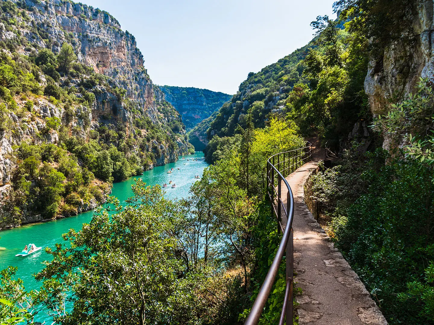
Verdon Gorge Trail
How would you rate Verdon Gorge Trail?
Tap a star to share your experience and help other hikers.
Verdon Gorge Trail: Sentier Blanc-Martel Hiking Guide
HikeList Score
Verdon Gorge Trail scored 81/100 on HikeList's trail-quality metrics.
See score breakdownHide breakdown
- Ideal length 55
- Balanced challenge 84
- Scenery & wildness 98
- Varied terrain 77
- Accommodation 75
- Food & support 88
- Path quality 98
- Season flexibility 89
Computed from length, challenge, scenery & wildness, terrain variety, accommodation, food & support, path quality and season flexibility.
The Verdon Gorge Trail is the classic Sentier Blanc-Martel through the Gorges du Verdon in Alpes-de-Haute-Provence, south-eastern France. It is a hard, roughly 15 km one-way hike from Chalet de la Maline to Point Sublime, usually taking 6–7 hours with breaks and shuttle timing. Expect rocky mountain path, exposed ledges, metal staircases, scree and dark tunnels. It suits fit, sure-footed hikers with mountain-walking experience, not young children or anyone with vertigo. For more routes, see our France hiking guide.
Route Overview
Walk the route north-east from Chalet de la Maline, on the Route des Crêtes above La Palud-sur-Verdon, to Point Sublime in Rougon. This is a linear point-to-point walk, normally done one-way because a seasonal paid shuttle links the two ends. The line drops from the high start into the gorge, passes Pré d’Issane, La Mescla, the Brèche Imbert staircase, the Guègues scree slopes, the Baou and Trescaire tunnels, then exits through Couloir Samson to Point Sublime. If you are comparing French day hikes, the Cirque de Gavarnie Trails offer a different mountain-cirque setting, while the Canal du Midi Towpath is far gentler.
History of the Sentier Blanc-Martel
The path was laid out in 1928 by the Touring Club de France and named the Martel Trail in 1930 after Édouard-Alfred Martel, the speleologist and explorer who led the first complete descent and exploration of the canyon on 11 August 1905. Isidore Blanc, one of Martel’s companions, is honoured in the full Blanc-Martel name. The Brèche Imbert section began as ladders on the original route and was later rebuilt as metal staircases during works carried out between 2011 and 2013.
Notable highlights
- Tunnel du Baou (~670 m): A long rock-cut tunnel where a head-torch is essential. An opening partway through frames the Verdon and the cavernous Baume aux Pigeons.
- Brèche Imbert staircase (~80 m): A metal staircase of around 250 steps drops through a breach in the cliff, one of the route’s most committing engineered sections.
- La Mescla: The confluence where the Artuby joins the Verdon deep in the canyon, marked by striking turquoise water.
- Couloir Samson: A narrow passage near Point Sublime where the canyon walls close in above the river.
- Point Sublime: The finish and a celebrated belvedere above Couloir Samson, giving a classic view into the Gorges du Verdon.
Challenges to expect
This is a hard gorge walk, not a casual riverside path. The day combines a substantial descent, undulating rocky trail and a final climb of about 250 m to Point Sublime. Expect narrow exposed sections, scree, slippery unmade ground, metal staircases and two tunnels. Carry at least 2 litres of water per person and a head-torch. The Verdon is dam-controlled, so water levels can rise suddenly; obey signs and avoid lingering on the riverbed.
HikeList Score
Verdon Gorge Trail scored 81/100 on HikeList's trail-quality metrics.
See score breakdownHide breakdown
- Ideal length 55
- Balanced challenge 84
- Scenery & wildness 98
- Varied terrain 77
- Accommodation 75
- Food & support 88
- Path quality 98
- Season flexibility 89
Computed from length, challenge, scenery & wildness, terrain variety, accommodation, food & support, path quality and season flexibility.
 France
Show more data Show less
- Mountainous
- Gorge
- Rocky
- Gravel
- Scree
- Dirt
- Hotels
- Campsites
- Wild camping spots
- Pet Friendly
- Restrooms
- Water Sources
- Campsites
- Picnic Areas
Photos from hikers
Taken on the trail by people who've reviewed Verdon Gorge Trail.
Reviews
How would you rate Verdon Gorge Trail?
Tap a star to start your review — you could be the first.