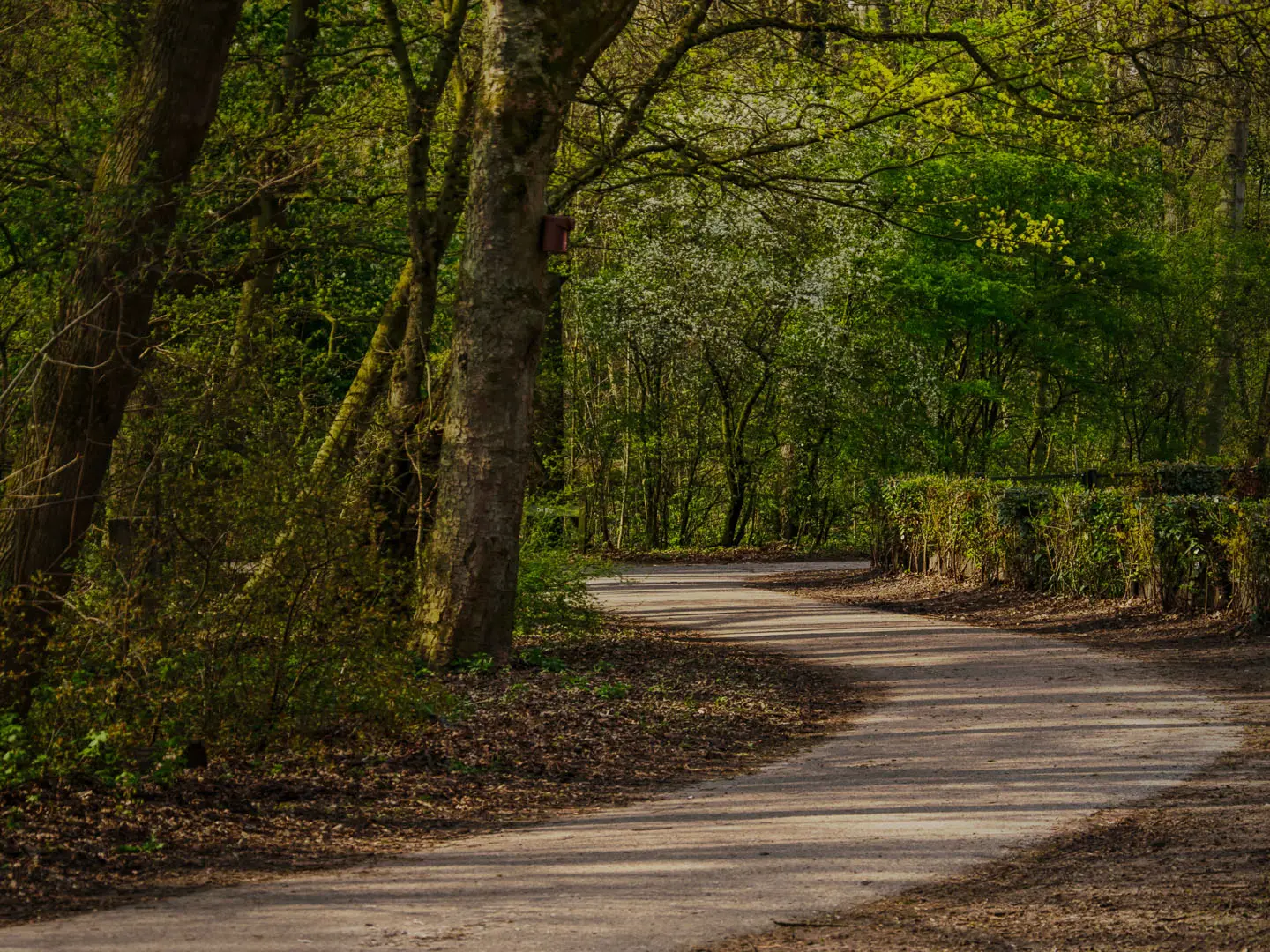
Rotterdam Green Belt
How would you rate Rotterdam Green Belt?
Tap a star to share your experience and help other hikers.
Rotterdam Green Belt: Hoogvliet’s Flat Green Loop
HikeList Score
Rotterdam Green Belt scored 69/100 on HikeList's trail-quality metrics.
See score breakdownHide breakdown
- Ideal length 55
- Balanced challenge 50
- Scenery & wildness 78
- Varied terrain 100
- Accommodation 57
- Food & support 88
- Path quality 65
- Season flexibility 89
Computed from length, challenge, scenery & wildness, terrain variety, accommodation, food & support, path quality and season flexibility.
The Rotterdam Green Belt is a 15 km easy loop around Hoogvliet, on the south bank of the Oude Maas in the Rhine-Meuse delta. This Netherlands day walk follows the officially created Groene Gordel Hoogvliet: a continuous ring of parks, willow woods, reed marsh, osier beds and riverside paths on the edge of the port. It suits families, casual walkers and anyone wanting a flat, public-transport-friendly Rotterdam walk with nature, water and boardwalk sections rather than distance or climbing as the main challenge.
Route Overview
Most walkers start and finish at Tussenwater metro station in Hoogvliet, served by Rotterdam metro lines C and D. From there, the circular route connects the green strips around the district into one continuous belt, so it can be walked in either direction. Key places on the circuit include Oudelandsepark, Oedevlietsepark, Bonairepark, Park De Heerlijkheid, Ruigeplaatbos, the Visserijgriend and the Oude Maas riverside boardwalk. Expect a mix of park paths, cycleways, unpaved nature paths and timber vlonderpad sections. For another Dutch wetland walk, compare the Biesbosch National Park Trail; for a much longer coastal option, see the Dutch Coastal Path (Hollands Kustpad).
How the Groene Gordel Hoogvliet was created
The Groene Gordel was deliberately built by linking Hoogvliet’s separate parks, willow forests, osier beds and reed marshes into one continuous recreational ring. The project developed over more than a decade and the connected belt was officially opened on 27 September 2015. It was funded through Rotterdam’s Bestaand Rotterdams Gebied programme, green investment tied to port expansion. The result is both a walking route and a buffer between Hoogvliet’s residential areas and surrounding industry.
Notable highlights
- Visserijgriend: A tidal fishing griend, or managed willow/osier bed, on the Oude Maas. The water rises and falls by about 1.5 m daily, exposing mud and reed habitats.
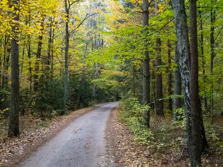
- Ruigeplaatbos (Ruige Plaatbos): A young willow flood-forest beside the river, with boardwalks, small creeks and one of the route’s most enclosed woodland sections.
- Park De Heerlijkheid: The belt’s flagship events park, with the Chill Hill and an Urban Sports Park of skate ramps and freerun obstacles opened in 2017.
- Oudelandsepark: An older Hoogvliet park with varied trees and shrubs, wildflower areas for butterflies and bees, and a nature playground.
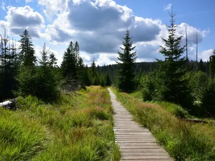
- Oude Maas boardwalk: A long timber vlonderpad gives the walk its best water-level stretch, with open views across the tidal river.
- Scottish Highland cattle: Schotse hooglanders graze rough grassland sections, helping manage scrub and adding a semi-wild feel close to the city.
Challenges to expect
This is an easy, flat walk with negligible ascent, but 15 km is still a full half-day outing. The route is exposed in places, so wind and rain matter more than gradient. Unpaved nature paths and timber boardwalks can be wet or slippery, especially outside spring to autumn. Navigation is usually straightforward, though urban park junctions can be confusing. Dogs are allowed, but give grazing cattle space. For another easy Dutch river walk, see the Amstel River Trail.
HikeList Score
Rotterdam Green Belt scored 69/100 on HikeList's trail-quality metrics.
See score breakdownHide breakdown
- Ideal length 55
- Balanced challenge 50
- Scenery & wildness 78
- Varied terrain 100
- Accommodation 57
- Food & support 88
- Path quality 65
- Season flexibility 89
Computed from length, challenge, scenery & wildness, terrain variety, accommodation, food & support, path quality and season flexibility.
 Netherlands
Show more data Show less
- Delta
- Polder
- Parkland
- Forest
- Wetland
- Riverside
- Asphalt
- Paved
- Unpaved
- Boardwalk
- Hotels
- Family Friendly
- Pet Friendly
- Stroller Accessible
- Restrooms
- Water Sources
- Picnic Areas
- Campsites
Photos from hikers
Taken on the trail by people who've reviewed Rotterdam Green Belt.
Reviews
How would you rate Rotterdam Green Belt?
Tap a star to start your review — you could be the first.