Mawddach Trail
How would you rate Mawddach Trail?
Tap a star to share your experience and help other hikers.
Mawddach Trail: Dolgellau to Barmouth Rail Trail Guide
HikeList Score
Mawddach Trail scored 73/100 on HikeList's trail-quality metrics.
See score breakdownHide breakdown
- Ideal length 55
- Balanced challenge 50
- Scenery & wildness 98
- Varied terrain 71
- Accommodation 83
- Food & support 68
- Path quality 80
- Season flexibility 89
Computed from length, challenge, scenery & wildness, terrain variety, accommodation, food & support, path quality and season flexibility.
The Mawddach Trail, or Lôn Mawddach, is an easy 15 km point-to-point rail trail in southern Eryri (Snowdonia), North Wales. It follows the southern shore of the Mawddach estuary from Dolgellau to Barmouth and is usually walked in one day. The route is largely flat, traffic-free and well-surfaced, making it suitable for walkers, cyclists and most wheelchair or pushchair users, with one accessibility pinch point near Dolgellau.
Route Overview
Walk east to west from Dolgellau towards Barmouth, or reverse it using the train and bus links. The trail starts around Y Marian in Dolgellau, then follows the former railway trackbed past Pont y Wernddu, Penmaenpool, Arthog and Morfa Mawddach before crossing Barmouth Bridge into Barmouth. Access points at Pont y Wernddu, Penmaenpool, Arthog and Morfa Mawddach make shorter walks easy. Morfa Mawddach and Barmouth both have railway stations, and buses serve both sides of the estuary. For other trip ideas, compare this easy estuary walk with the Aber Falls Walk, the longer Anglesey Coastal Path or the hillier Beacons Way.
Railway history of the Mawddach Trail
The trail uses the trackbed of the former Ruabon to Barmouth branch line of the Great Western Railway, which ran via Llangollen and Dolgellau. It carried slate, timber and Victorian holidaymakers towards the Cardigan Bay coast before closing in 1965 under the Beeching cuts. The disused line along the southern bank of the Afon Mawddach was later reopened for walking and cycling. Barmouth Bridge, opened in 1867, still carries the Cambrian Coast railway line.
Notable highlights
- Barmouth Bridge (Pont Abermaw, 820 m): A Grade II* listed single-track timber railway viaduct and the dramatic finish into Barmouth. Its pedestrian and cycle walkway carries the trail across the estuary mouth.
- Penmaenpool (toll bridge and signal box): The midpoint highlight, with a wooden toll bridge, the riverside George III Hotel and an old Great Western Railway signal box used by the RSPB as an observation centre.
- Arthog Bog (RSPB reserve): A small wet meadow and reedbed reserve beside the route near Arthog. It is one of the best stops for wetland plants and birds.
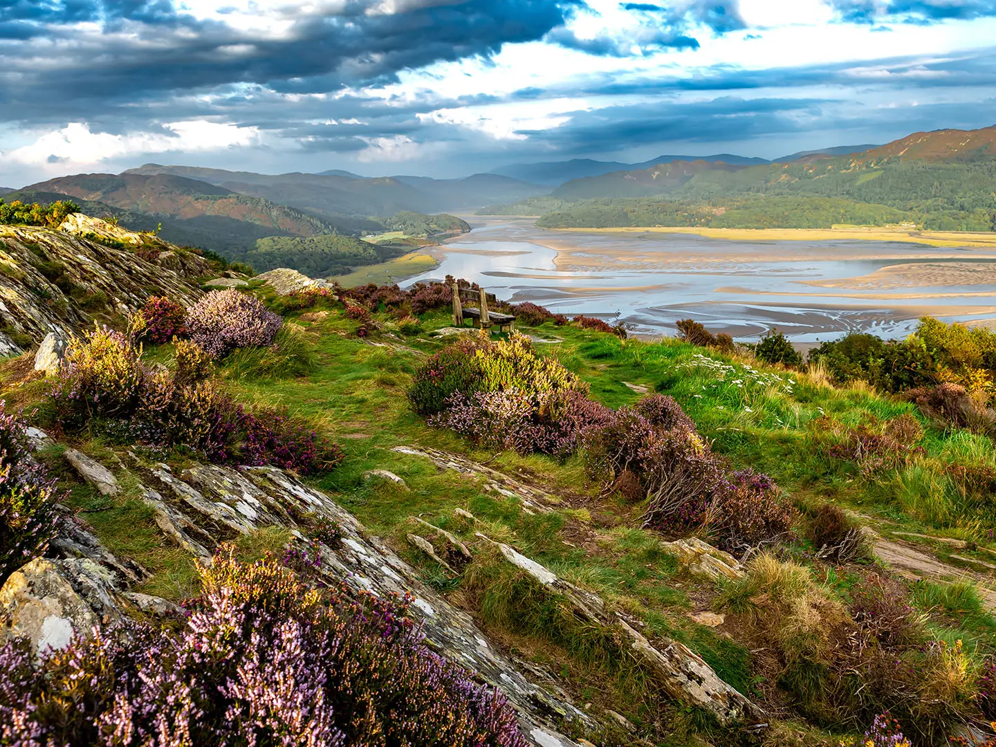
- Mawddach estuary and Cadair Idris views: The path stays close to the tidal estuary, with sandbanks, salt marsh and views south towards the Cadair Idris peaks.
- Estuary birdlife: The flats attract water birds including herons, cormorants, oystercatchers and other waders, with occasional seals in the channel.
- Railway heritage: Old platforms, the Penmaenpool signal box and Barmouth Bridge are clear reminders of the Ruabon to Barmouth railway.
Challenges to expect
This is an easy, mostly flat trail, so the main challenges are weather and access rather than terrain. The estuary is exposed to wind, North Wales weather can be wet and changeable, and wind-blown sand can gather after Barmouth Bridge. Navigation is straightforward on the waymarked trackbed. Wheelchair users should note the narrow footbridge with a steep up-ramp between Dolgellau and Pont y Wernddu.
HikeList Score
Mawddach Trail scored 73/100 on HikeList's trail-quality metrics.
See score breakdownHide breakdown
- Ideal length 55
- Balanced challenge 50
- Scenery & wildness 98
- Varied terrain 71
- Accommodation 83
- Food & support 68
- Path quality 80
- Season flexibility 89
Computed from length, challenge, scenery & wildness, terrain variety, accommodation, food & support, path quality and season flexibility.
 United Kingdom
 Wales
WalesShow more data Show less
- Coastal
- Wetlands
- Gravel
- Dirt
- Paved
- Hotels
- Campsites
- Hostels
- Wheelchair Accessible
- Stroller Accessible
- Family Friendly
- Pet Friendly
- Restrooms
- Picnic Areas
In these collections
Photos from hikers
Taken on the trail by people who've reviewed Mawddach Trail.
Reviews
How would you rate Mawddach Trail?
Tap a star to start your review — you could be the first.