Limerick Greenway
How would you rate Limerick Greenway?
Tap a star to share your experience and help other hikers.
Limerick Greenway: Easy Rail-Trail Across West Limerick
HikeList Score
Limerick Greenway scored 64/100 on HikeList's trail-quality metrics.
See score breakdownHide breakdown
- Ideal length 55
- Balanced challenge 50
- Scenery & wildness 58
- Varied terrain 94
- Accommodation 91
- Food & support 68
- Path quality 37
- Season flexibility 63
Computed from length, challenge, scenery & wildness, terrain variety, accommodation, food & support, path quality and season flexibility.
The Limerick Greenway is a 39 km point-to-point walking and cycling route in west Ireland, running from Rathkeale to Abbeyfeale on a former railway line. It is an easy, mostly flat full-day route on smooth sealed tarmac, suited to walkers, cyclists and mobility-friendly outings from the main towns. Walking the whole route is a long 9–10 hour day, so many hikers choose a section. For another Irish greenway, compare the Great Western Greenway.
Route Overview
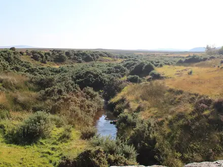
Walk west from Rathkeale through Ardagh, Newcastle West, Barnagh and Templeglantine to Abbeyfeale. The route follows the old Limerick-Tralee rail corridor through agricultural countryside, river valleys and the wooded Rooskagh/Barnagh hills. It is linear rather than a loop, so plan a return lift or other point-to-point logistics before setting out; no specific transport service is verified here. The high point is Barnagh at 164 m, reached on a gradual rail-grade climb. If you want a longer Irish walking trip after this easy trail, compare the Dingle Way or Beara Way.
From Limerick-Tralee Railway to Limerick Greenway
The greenway follows part of the former Limerick-Tralee railway, built by the Great Southern and Western Railway and opened in stages between the late 1860s and 1880s. Passenger services ended in 1963 and the line closed fully in the 1970s. The corridor later became the Great Southern Trail and was reopened in 2021 as the Limerick Greenway after a 10-million-euro upgrade.
Notable highlights
- Barnagh Tunnel (115 m): A restored railway tunnel near the route’s high point, with an adjoining viewing point and visitor hub. It is one of the clearest reminders that this greenway was once a working rail line.
- Ferguson's Viaduct: A 19th-century cast-iron viaduct on the Newcastle West to Barnagh section. It is a standout engineering relic of the old railway corridor.
- Barnagh viewing point (164 m): The summit of the greenway, with long views across the West Limerick countryside toward the Kerry hills. The climb is gradual because the route follows an old rail grade.
- Ardagh: The village associated with the discovery of the Ardagh Chalice, a major piece of early-medieval Irish metalwork. It adds a strong cultural stop to the eastern half of the route.
- Norman castles, abbeys and famine graveyards: The corridor passes medieval ruins, deserted railway stations, cut-stone overbridges and 19th-century famine-era sites woven into the farmland.
- Abbeyfeale and the Allaghaun River: The western terminus is a market town beside the Allaghaun River. A short extension continues toward the County Kerry border.
Challenges to expect
The trail is easy underfoot, but the full 39 km is still a long walking day. Expect a gradual climb toward Barnagh, possible rain in any month, and limited challenge from navigation because the route follows a clear traffic-free rail corridor. The main planning issue is logistics: this is point-to-point, not a loop.
HikeList Score
Limerick Greenway scored 64/100 on HikeList's trail-quality metrics.
See score breakdownHide breakdown
- Ideal length 55
- Balanced challenge 50
- Scenery & wildness 58
- Varied terrain 94
- Accommodation 91
- Food & support 68
- Path quality 37
- Season flexibility 63
Computed from length, challenge, scenery & wildness, terrain variety, accommodation, food & support, path quality and season flexibility.
 Ireland
Show more data Show less
- Agricultural Countryside
- River Valleys
- Wooded Hills
- Rail Corridor
- Paved
- Tarmac
- Asphalt
- Hotels
- B&Bs
- Guesthouses
- Wheelchair Accessible
- Stroller Accessible
- Family Friendly
- Pet Friendly
- Restrooms
- Picnic Areas
Photos from hikers
Taken on the trail by people who've reviewed Limerick Greenway.
Reviews
How would you rate Limerick Greenway?
Tap a star to start your review — you could be the first.